
Trail HeadBackcountry Boosters
Mare CzinarNovember 1, 2024
Overgrown, fire-singed and poorly signed, the trail would be beyond salvation, but for the brave few who are determined to resurrect the route from obscurity.
Overgrown, fire-singed and poorly signed, the trail would be beyond salvation, but for the brave few who are determined to resurrect the route from obscurity.
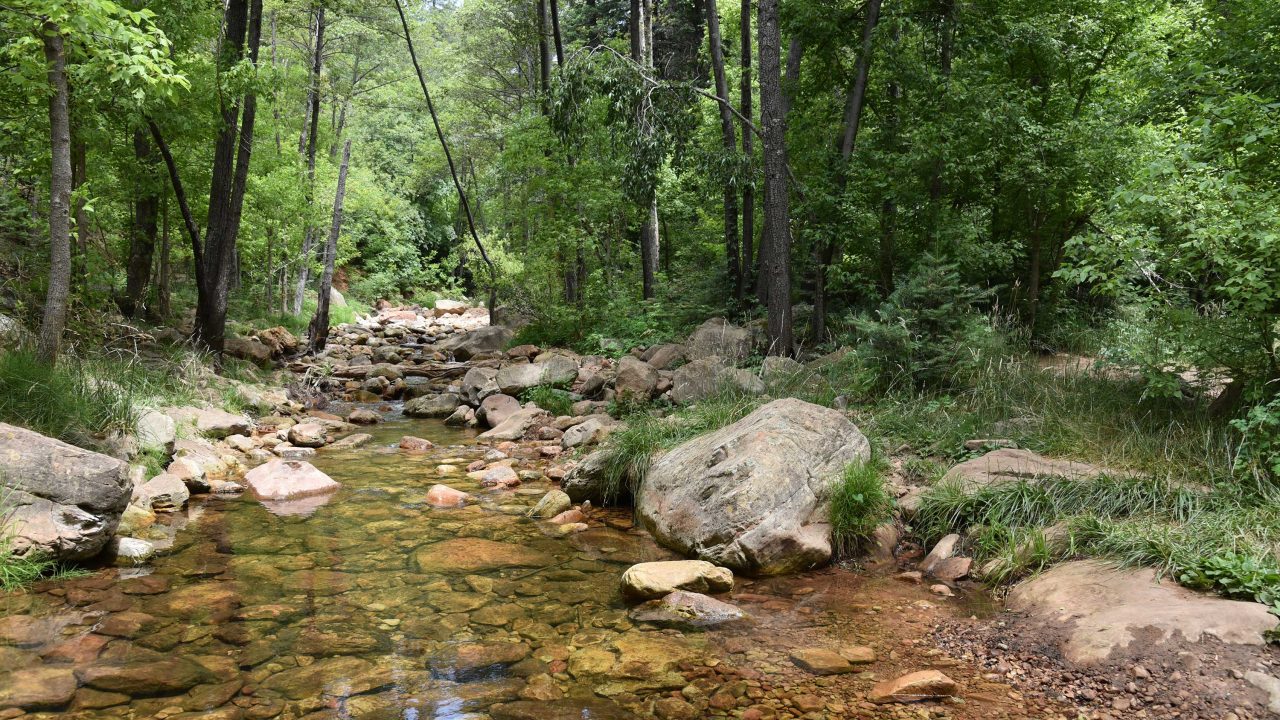
There’s a local hiker adage that claims when trekking See Canyon, all you see is the canyon. This is mostly true, but, oh, what a canyon it is to behold.
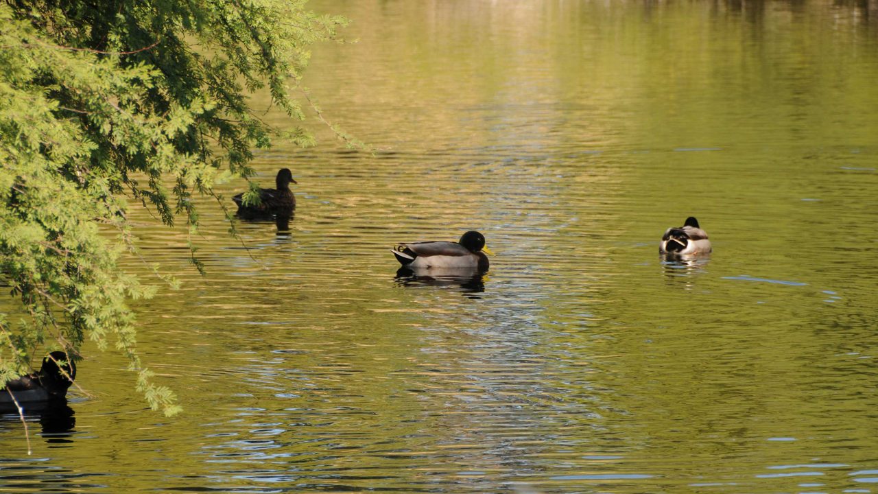
Protecting a critical wildlife corridor between the Tucson Mountains and the Santa Cruz River, Sweetwater Preserve also complements a trail-rich area of west Tucson that includes Saguaro National Park and Tucson Mountain Park.
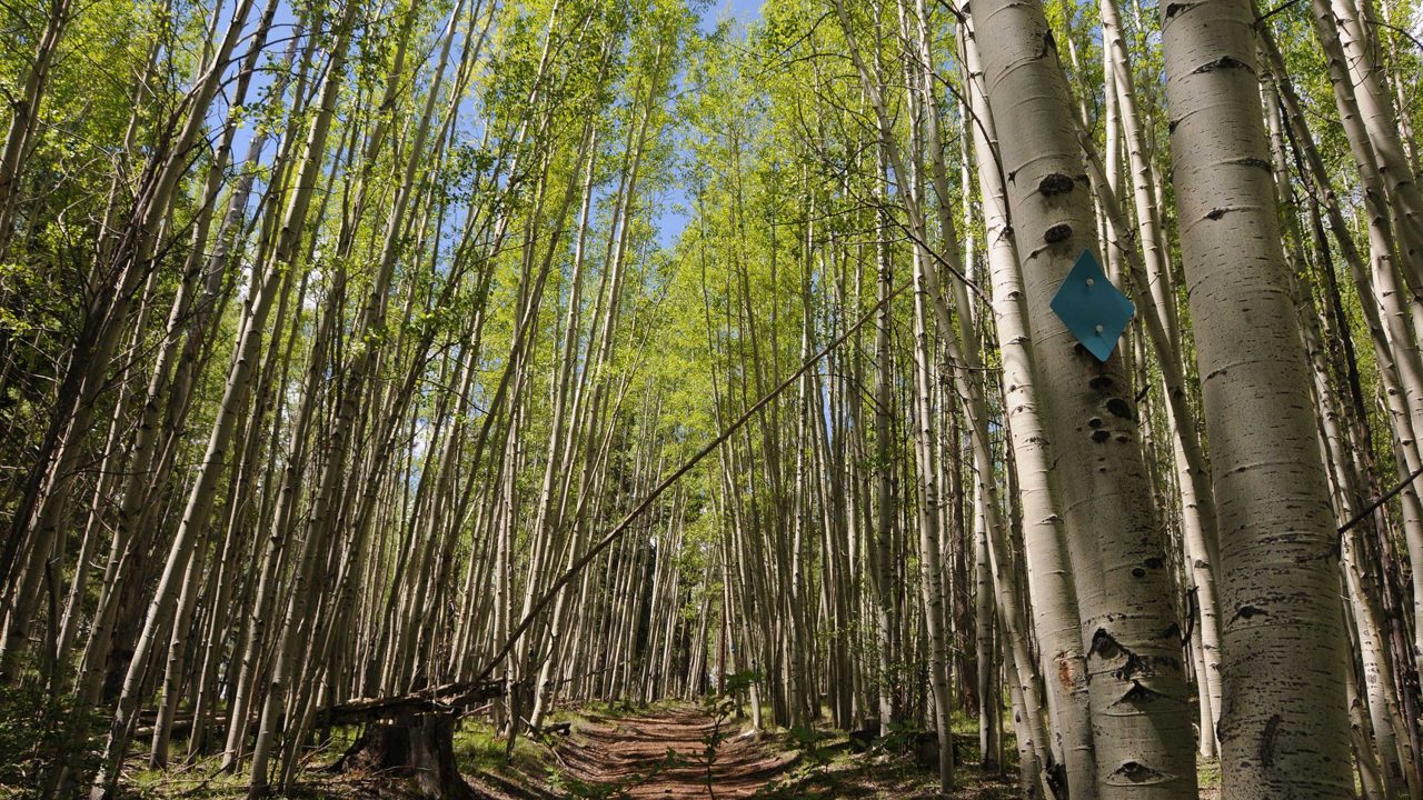
Conveniently located off State Route 260 near Greer, the Pole Knoll Recreation Area is a year-round destination for outdoor sports.
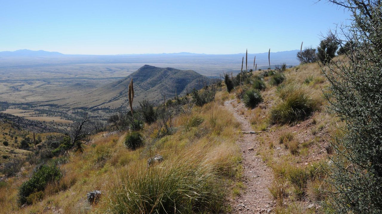
Pick up the Joe’s Canyon Trail that climbs 1,400 feet up a sheer-walled gorge that tops out on the airy grasslands of Smuggler’s Ridge where you’ll head right and walk along the knife-edge saddle with see-forever views overlooking the Mexican State of Sonora.
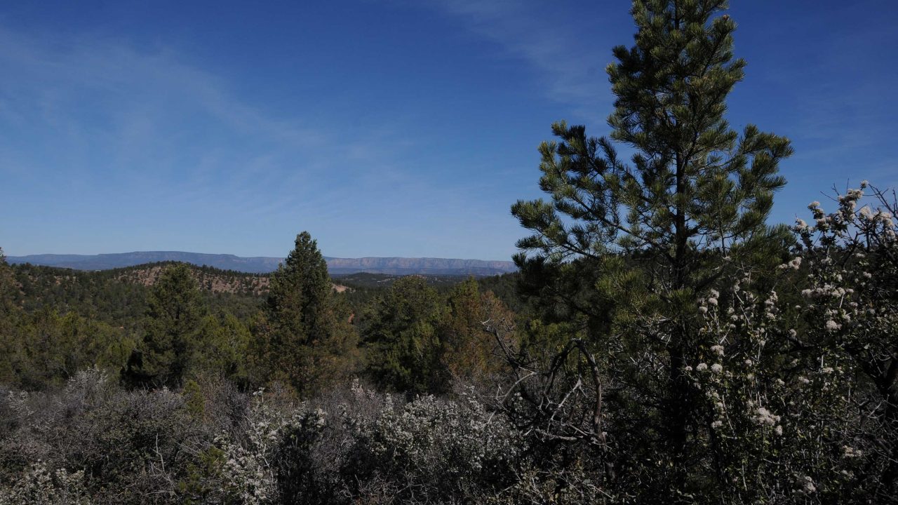
The Payson Area Trails System (PATS) is a collection of routes weaving through the business districts and suburbs of this north-central Arizona town.
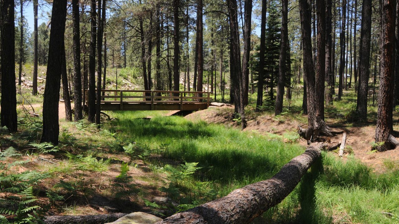
Sardine Trail #536 is an unsung hero within the Willow Springs Lake area trail system.
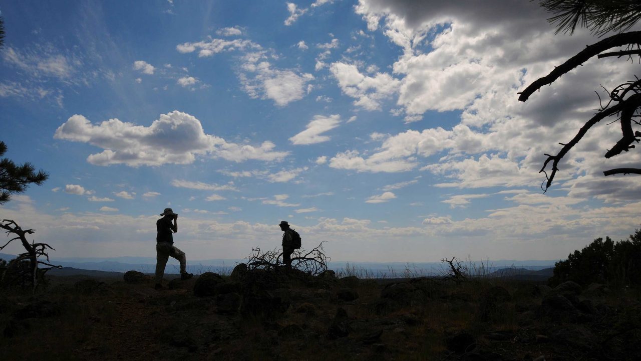
Aptly named, Summit Mountain delivers a quintessential peak-conquering experience—but without the pesky sore muscles and taxed lungs.

Hidden on a high Flagstaff mesa just about a mile off Interstate 17 is a walk able, 70-acre waterfowl wonderland.
Remnants of pavement and stonework culverts conjure images from John Steinbeck’s depression-era novels and pre-digital days when folks cruised in Model Ts, Studebakers and souped-up Chevys.
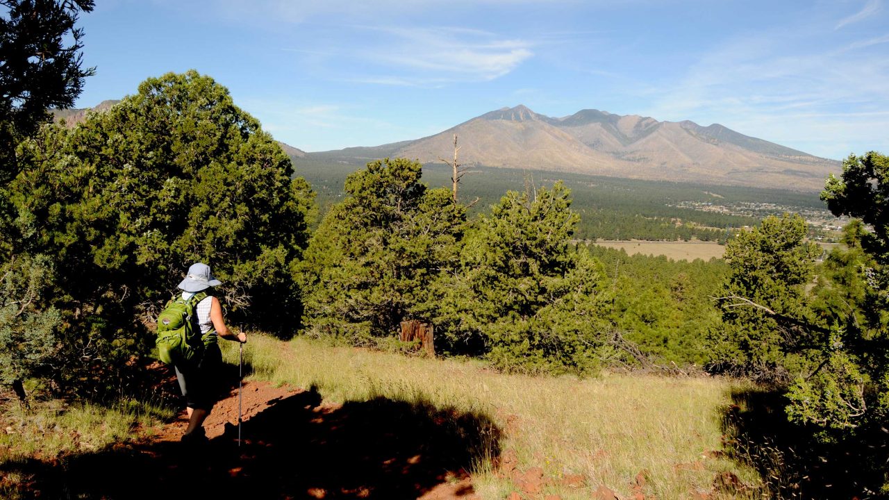
Imagine waking up in a cave atop an extinct volcano and seeing a 12,000 foot massif to the west and endless prairies to the east.
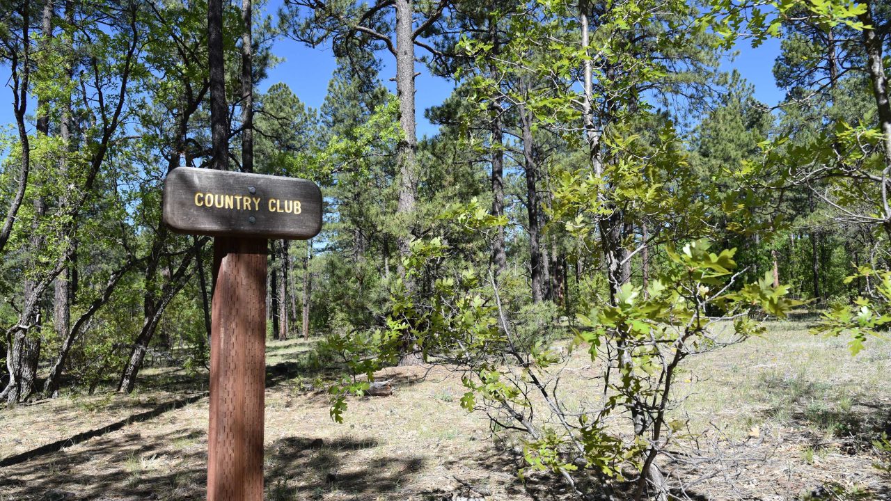
The approachable, customizable trails offer dozens of options ranging from easy strolls located just steps from town to long distance backwoods excursions.
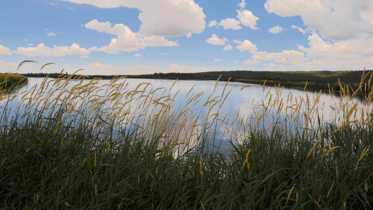
This 93-acre site is a complex of ponds, nesting islands and wet meadows that attract swarms of birds as well as elk, deer, coyotes, turkeys and bears.
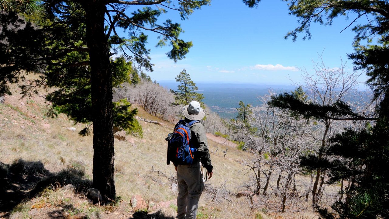
The mountain's lumpy appearance is the result of multiple volcanic events that caused lava to accumulate in irregular heaps.
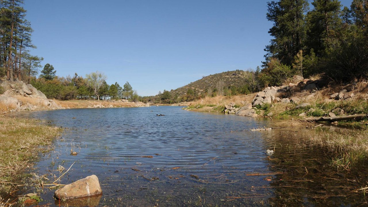
Massive canopies of Ponderosa pine, Alligator juniper and oak provide cooling shade as the route winds above the lakes and across the boulder-flanked ravine and crisp waters of Bannon Creek.
