Flagstaff
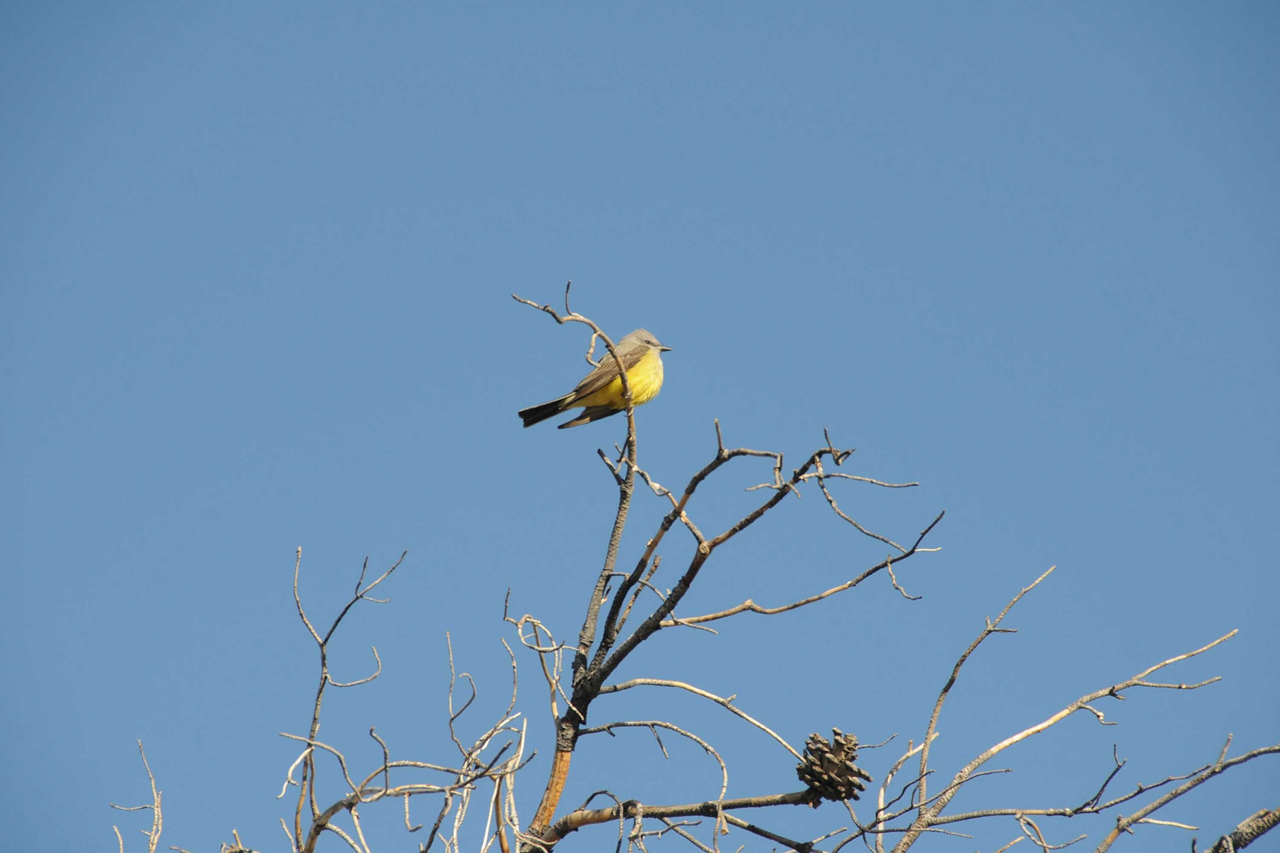
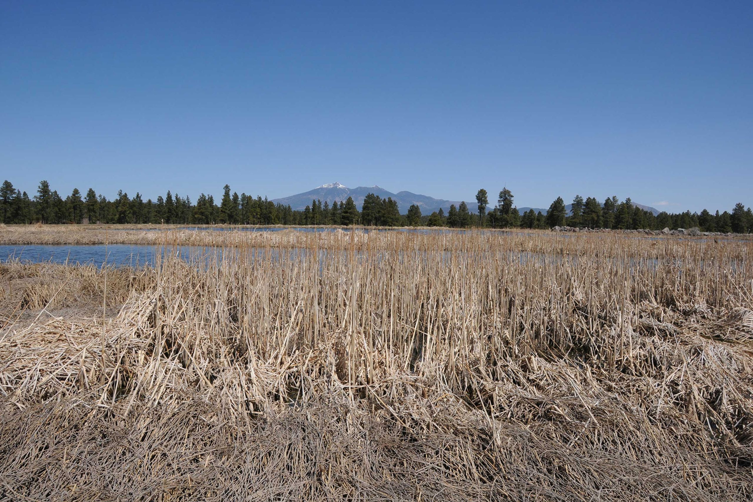
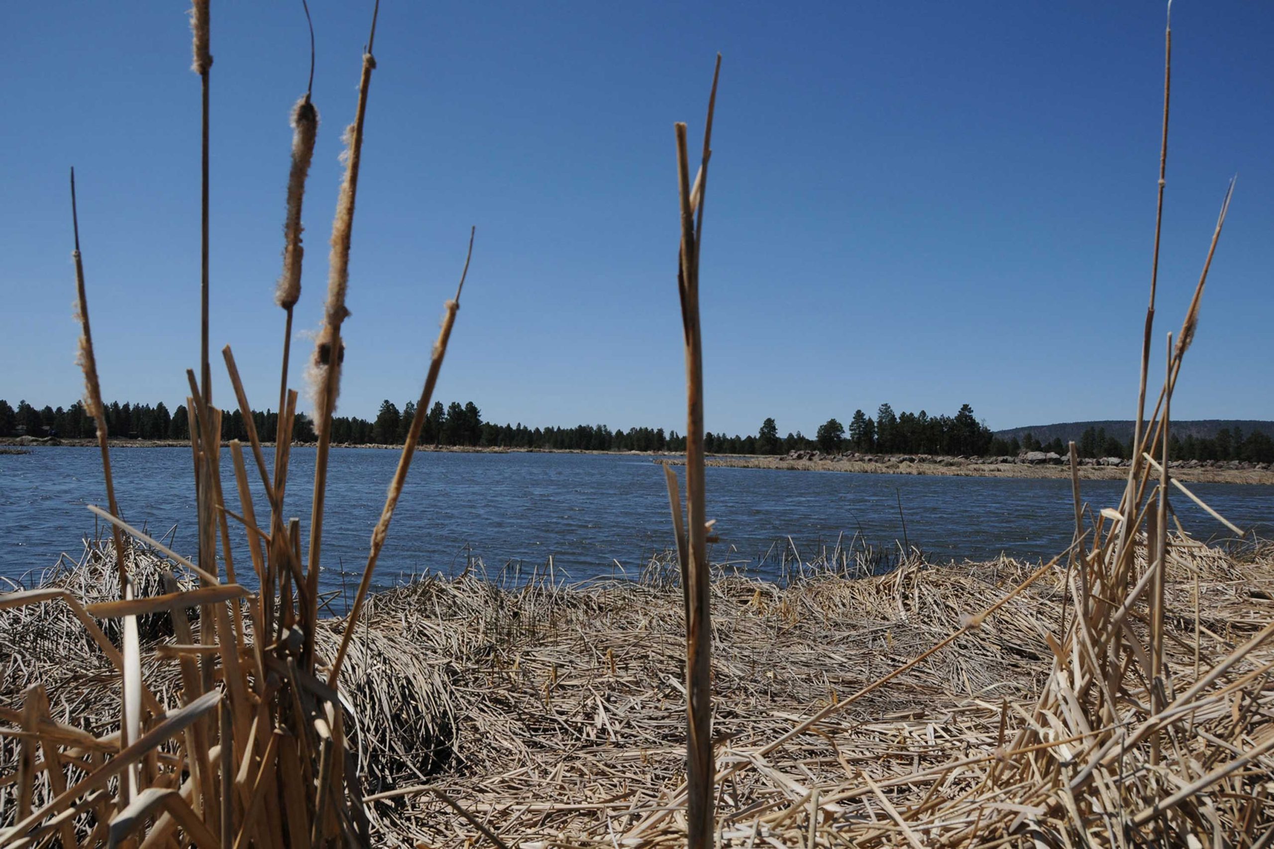
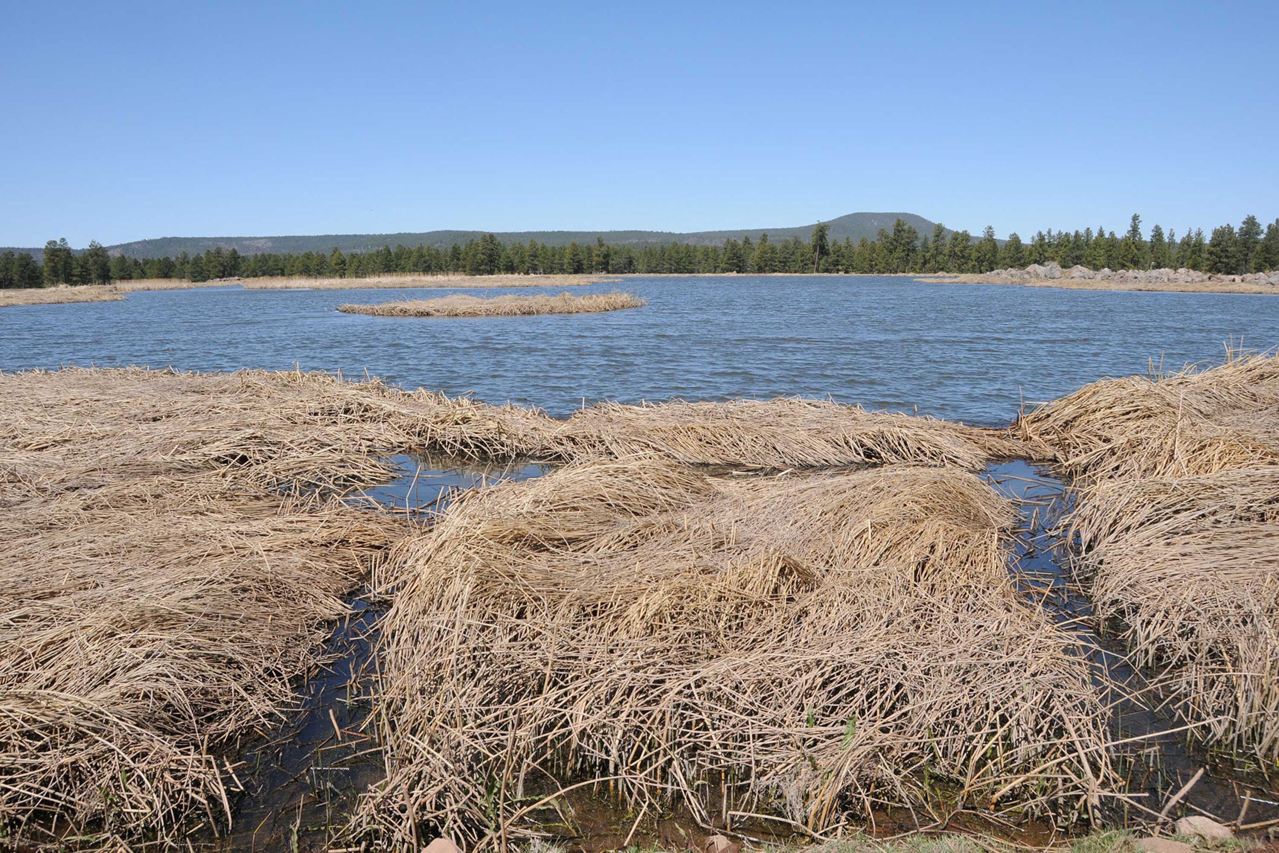
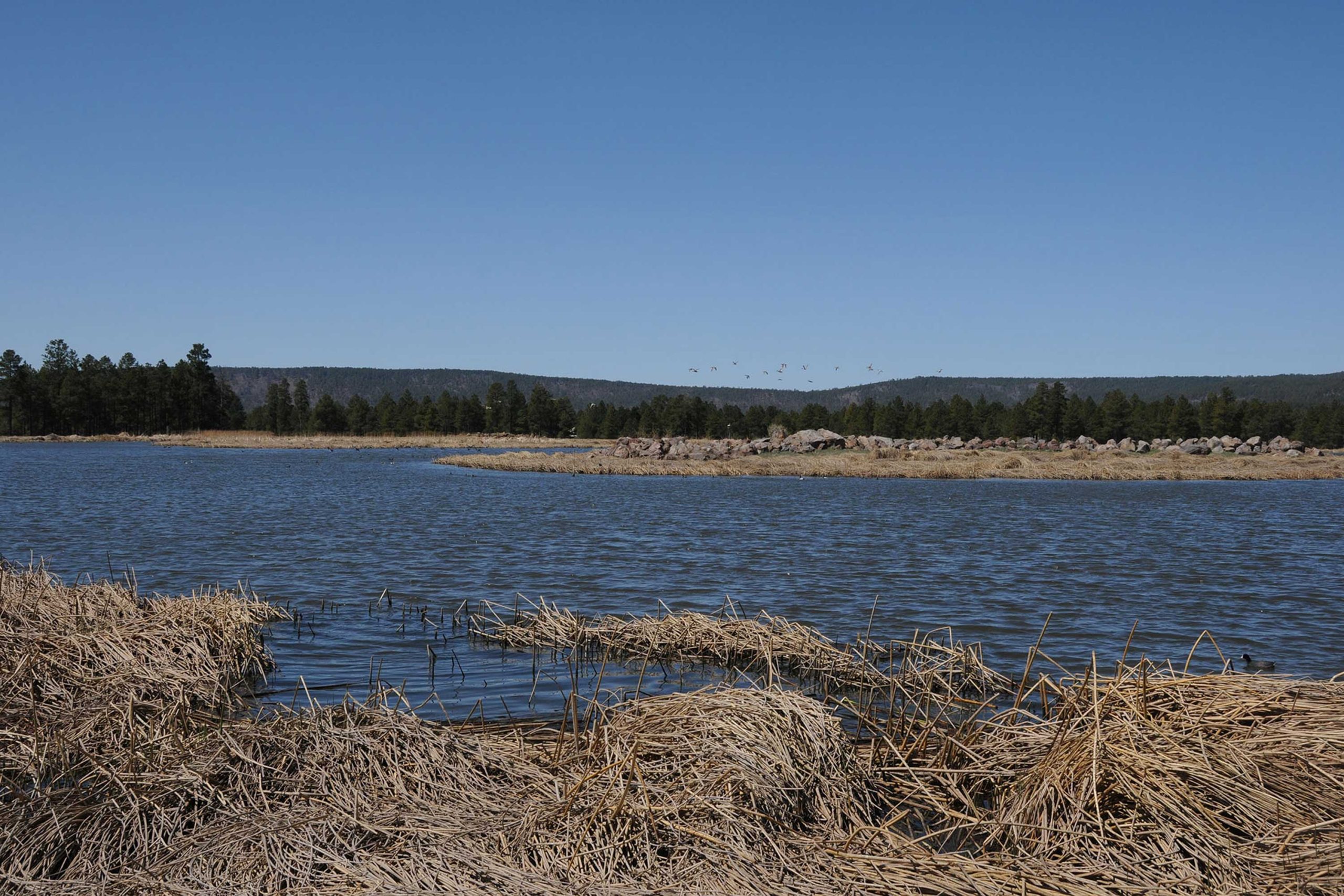
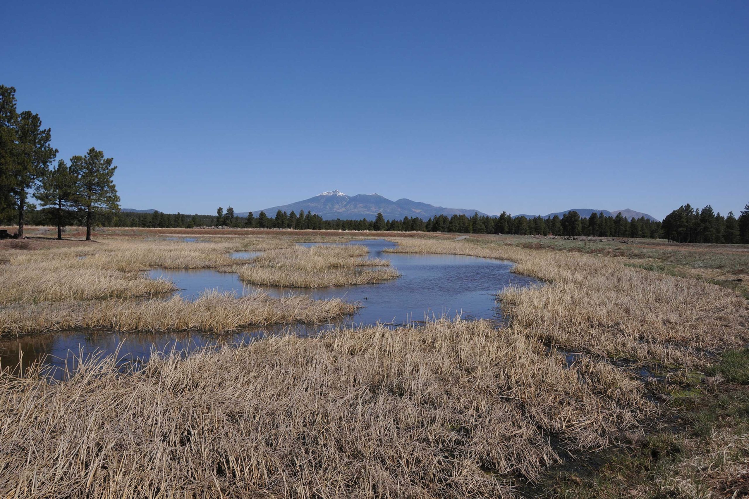
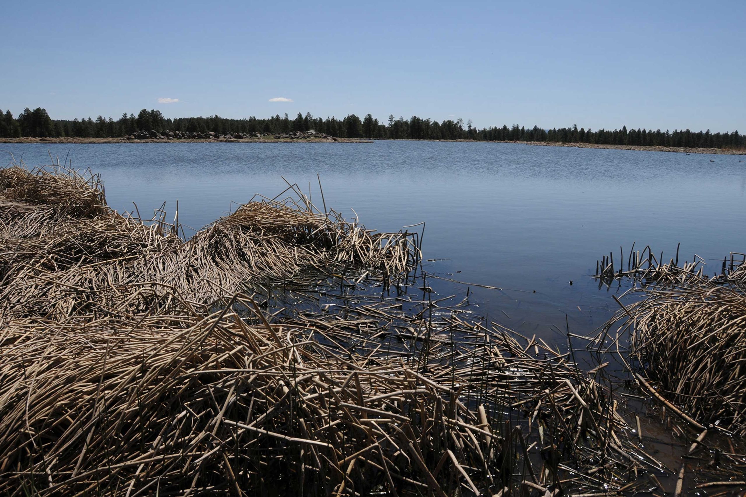
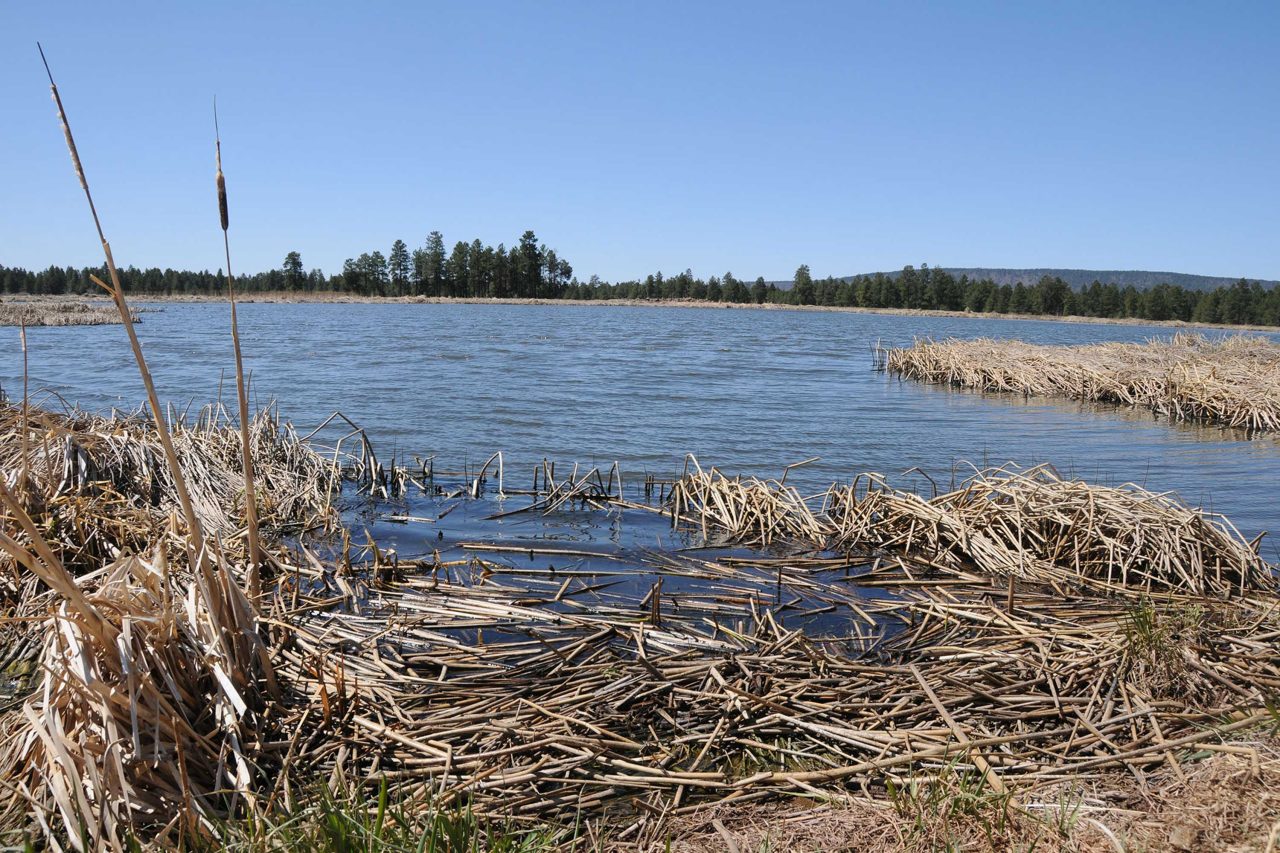
Hidden on a high Flagstaff mesa just about a mile off Interstate 17 is a walk able, 70-acre waterfowl wonderland. The Kachina Wetlands is a collection of 8 shallow ponds constructed to manage treated effluent water. The project, which began in 1988 with the cooperation of various agencies including Northern Arizona University, Arizona Game & Fish and Coconino County, has auxiliary goals to improve wildlife habitat and foster native vegetation. Although some of the ponds are not operational right now, the site is still prime real estate for winged beasts. Thick growths of cattails and other aquatic plants coupled with mid-pond islands provide safe havens from marauding elk and hungry forest critters for the hundreds of species of birds and waterfowl that frequent the area. The marshy pools are aflutter with grebes, mallards, coots, sandpipers, nighthawks, woodpeckers, swallows, chickadees, jays, warblers, blackbirds and soaring birds of prey. Until recently, the only hiking opportunity here was the mile or so of circumference paths. That all changed when the Highlands Trail– which connects to Fort Tuthill Park– was completed in 2009. Woodsy but unremarkable, the easy, urban-class Highlands Trail stays close to civilization dodging public roads and private properties on its 3.7-mile track from the park to the wetlands. The trail wanders through a checkerboard of pine-oak woodlands (with occasional views of San Francisco Peaks and Mormon Mountain), skirts a few suburban backyards and crosses State Route 89A before reaching the wetlands.
Hike Directions
- From the Fort Tuthill Yavapai parking lot, hike south on the road on the west side of the amphitheater to where Soldiers Trail (marked by green lathe-style signs) crosses.
- Head west (go right) and follow Soldiers Trail roughly .30 mile to a signed, but un-named junction.
- This is the access path for Highlands Trail.
- Turn left here and within 0.2 mile you’ll come to the north end of the loop portion of Highlands Trail.
- Go either way and continue 1 or 1.3 mile to State Route 89A.
- Cross the road and continue 2.5 miles on Highlands to Kachina Wetlands.
- There are several trails circling the ponds.
- When done exploring, return the way you came or take the opposite leg of the Highlands loop back to the parking area.
- NOTE: Fort Tuthill Park has an “official” trailhead serving all its trails. If you begin there, add another mile to the overall distance shown here.
LENGTH: 9.6 miles round trip
RATING: easy
ELEVATION: 6,890 – 7,040 feet
GETTING THERE
Fort Tuthill County Park (as described here):
From Interstate17 just south of Flagstaff take exit 337 for State Route 89A and “county fairgrounds”. At the end of the off ramp, continue straight into Ft. Tuthill Park and follow the main road to the Yavapai Ramada parking lot.
FACILITIES: restrooms, picnic tables, camping at the park
HOURS: vary, see website
FEE: vary, see website