Tonto National Forest, near Payson
On the jagged cliffs below the Mogollon Rim, dozens of springs dispense water that filters through the porous limestone escarpments. The springs range in flow from steady trickles that drain into green seeps to icy founts that gush from solid rock, carving gullies and fostering thick forests. See Spring is one of the later. Its location half-a-mile off the See Canyon Trail along Christopher Creek in Tonto National Forest twenty miles east of Payson makes it a popular choice for a short day hike or add-on to the 2.5-mile mile artery route that climbs over 1700 feet to the top of the Rim.
There’s a local hiker adage that claims when trekking See Canyon, all you see is the canyon. This is mostly true, but, oh, what a canyon it is to behold.
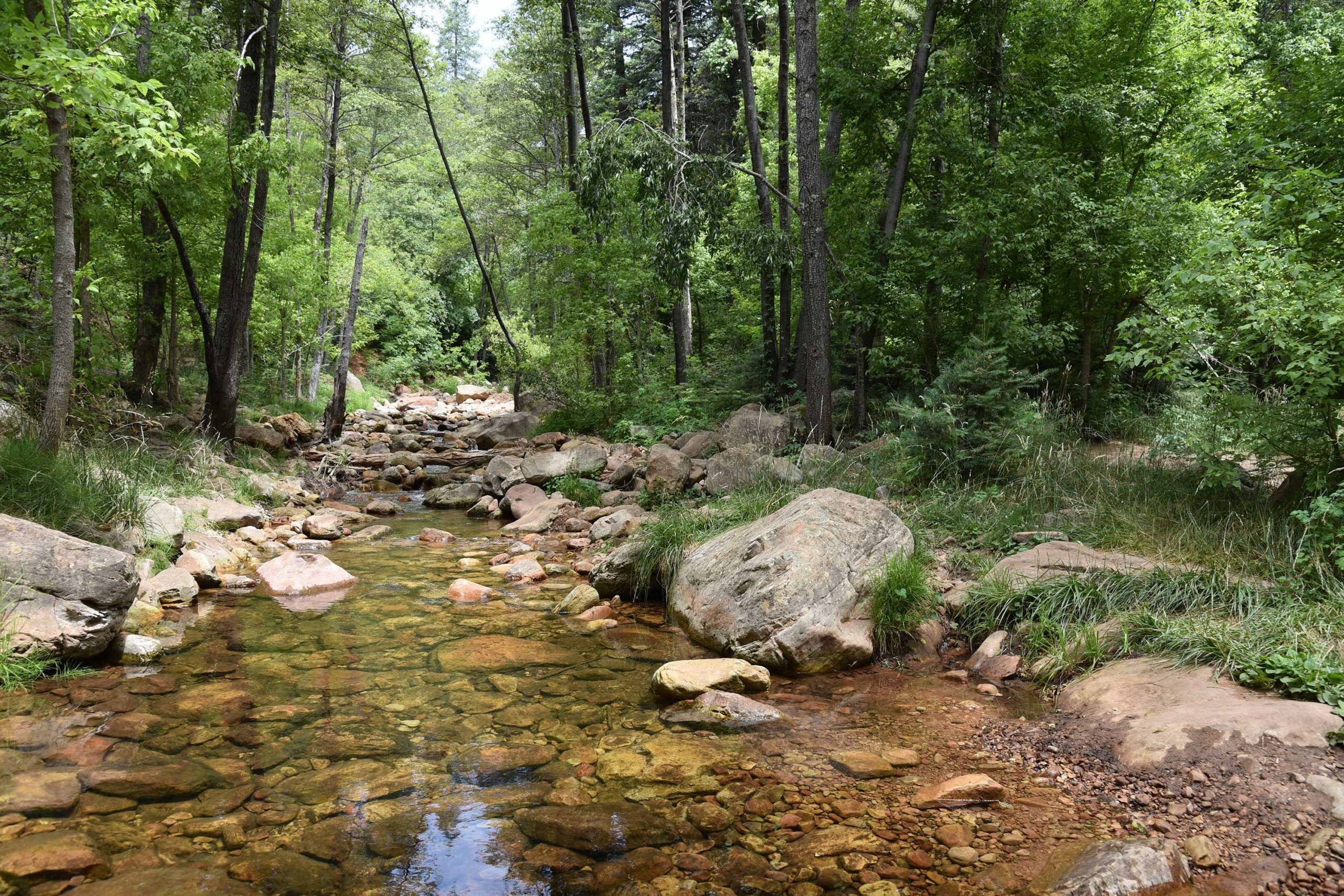
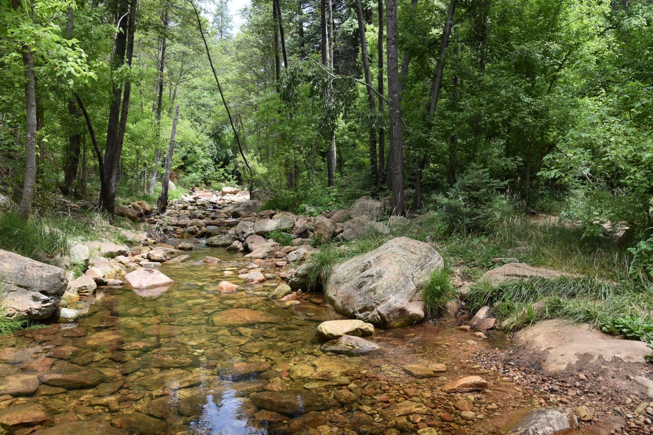
Right out of the chute, the trail delivers a rich palette of sights and sounds plus enough challenge (or not) to satisfy a full gamut of hiking styles. You don’t have to walk very far before becoming immersed in the perennial flow of Christopher Creek and the lush woodlands that thrive in its moist environs.
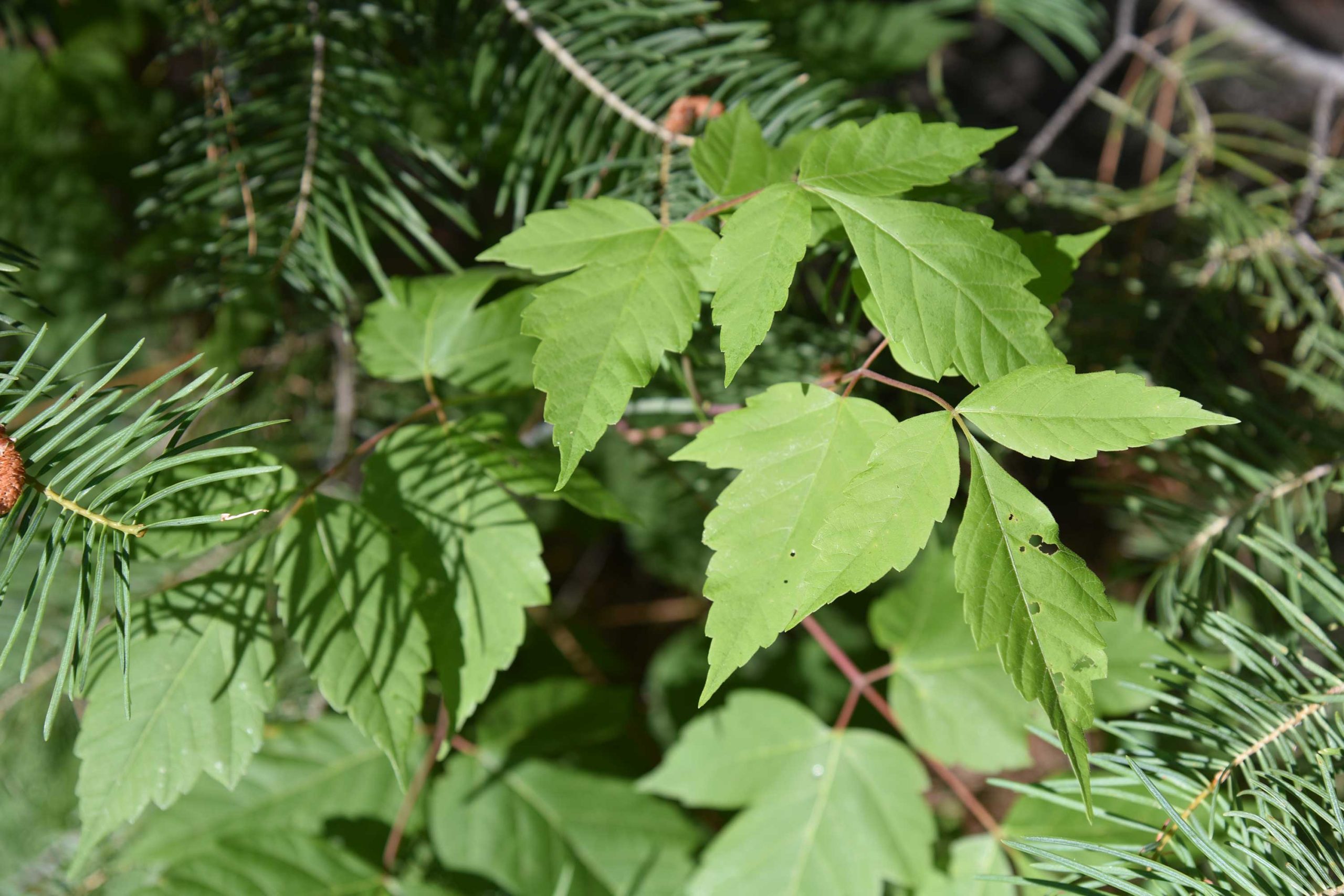
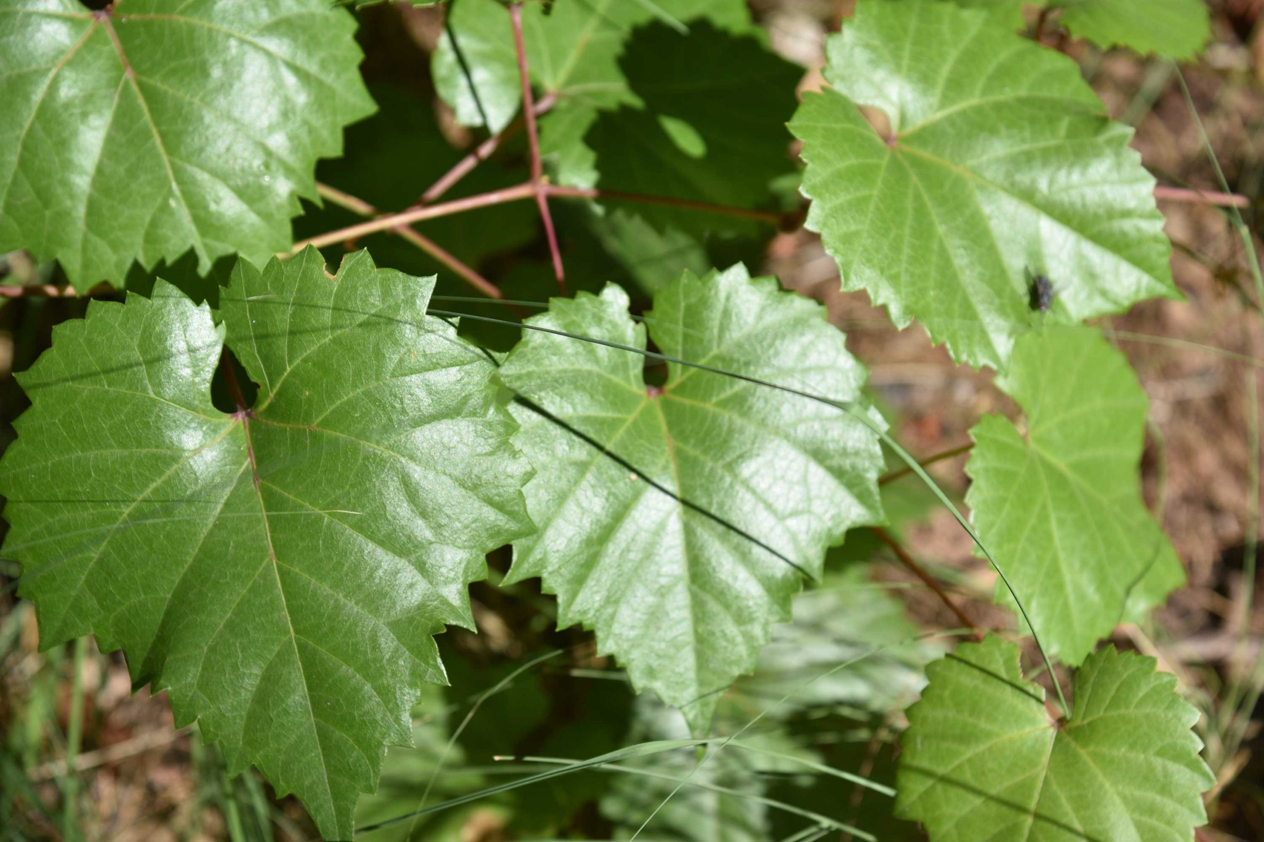
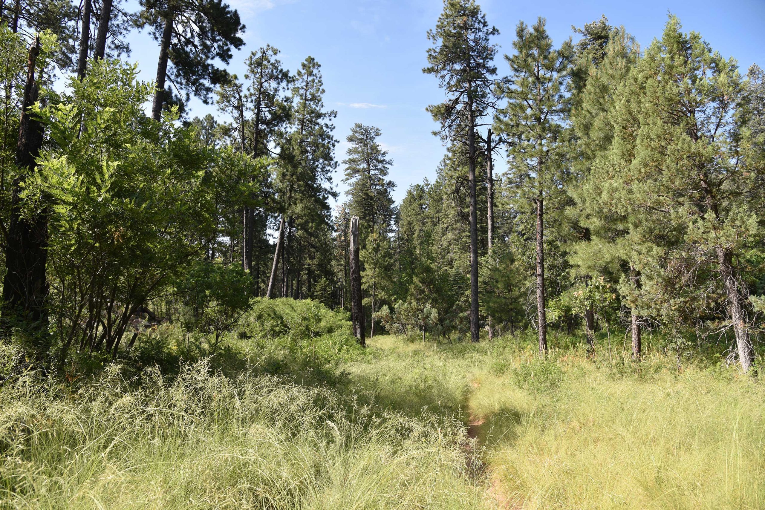
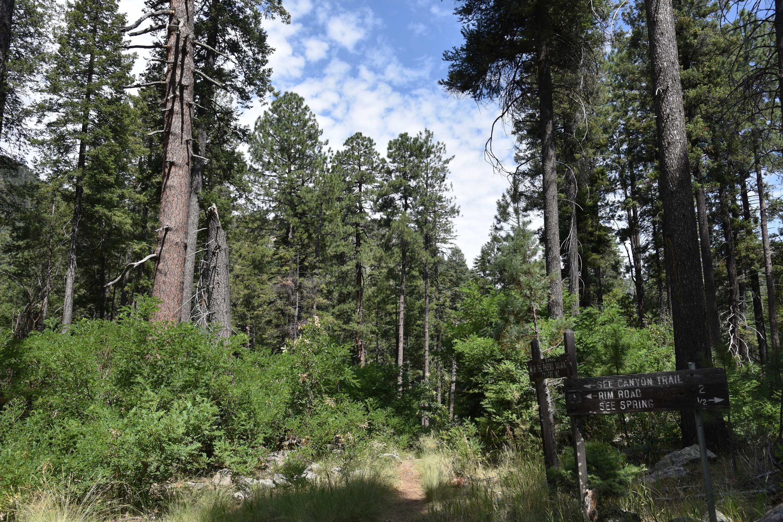
The journey begins with a brief walk on the Highline Trail. From the trailhead, follow the footpath to where a pair of white diamond symbols tacked to trees indicate where the route makes an easy crossing of the creek. On the opposite bank, walk a few yards and veer left at the See Canyon Trail junction. The next half-mile traces the stream through a mix of meadows and forests of New Mexico locust, boxelders and Ponderosa pines. Beneath the leafy canopy, healthy tangles of canyon grape vines mingle with insidious clumps of poison ivy–leaves of three, let it be. The path crosses several rocky drainages as it gently gains elevation to reveal glimpses of Promontory Butte, a major Rim land feature. At the 0.8-mile point, head right at the See Spring Trail junction where the half-mile spur path swerves away from the creek and begins a moderate climb.
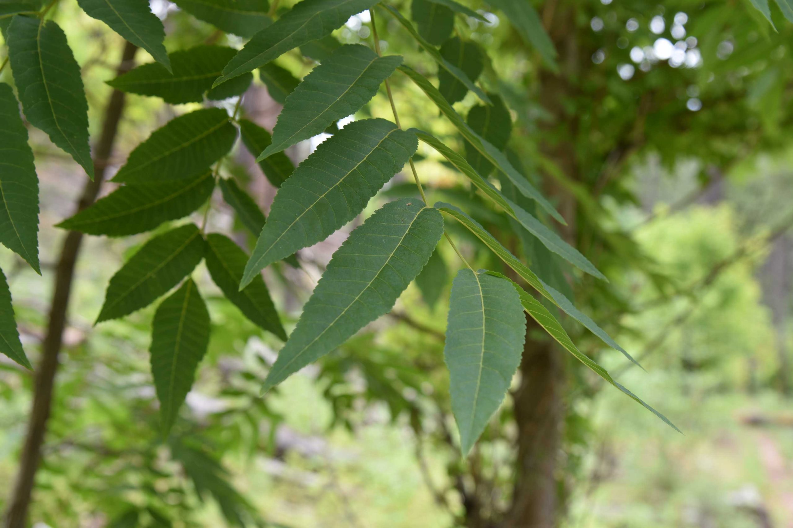
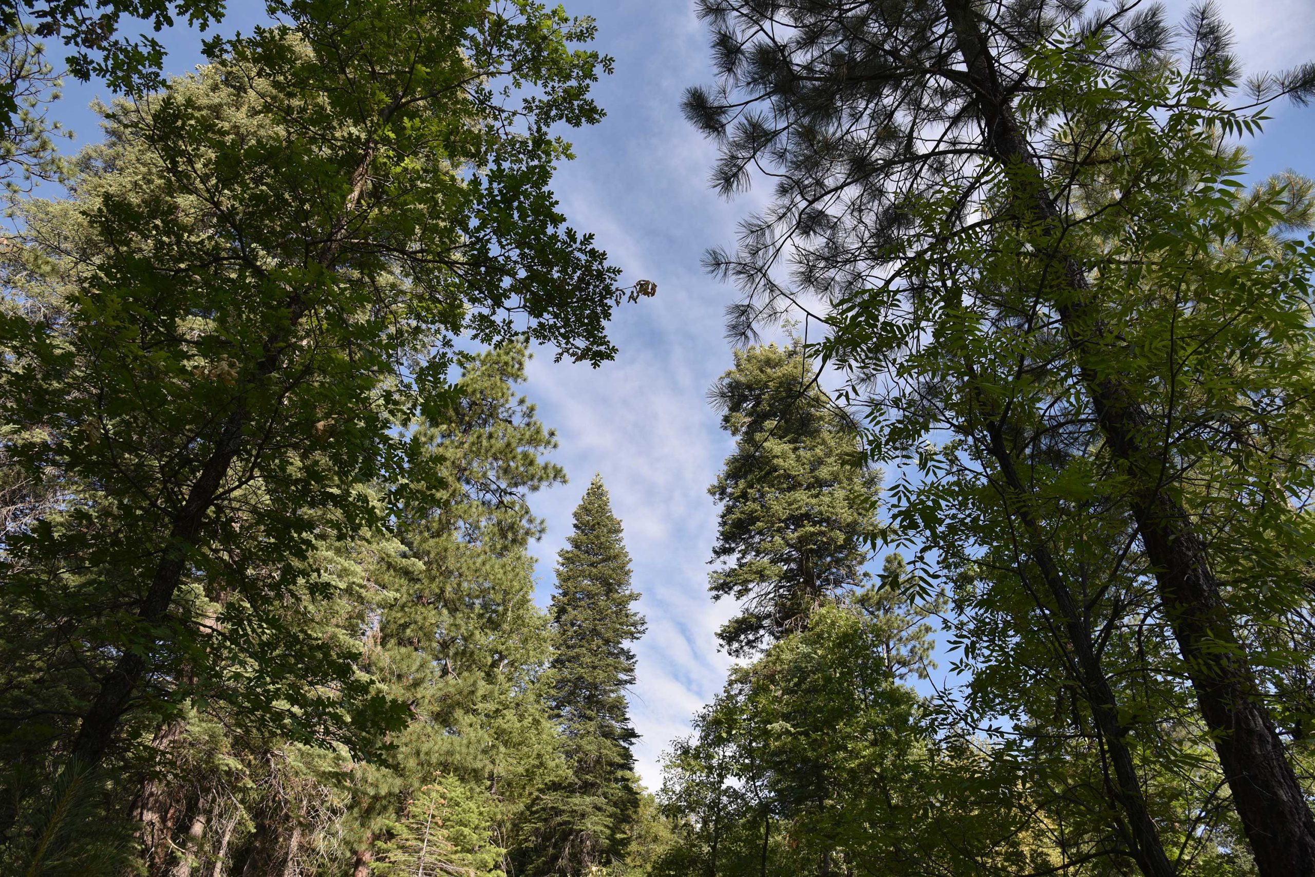
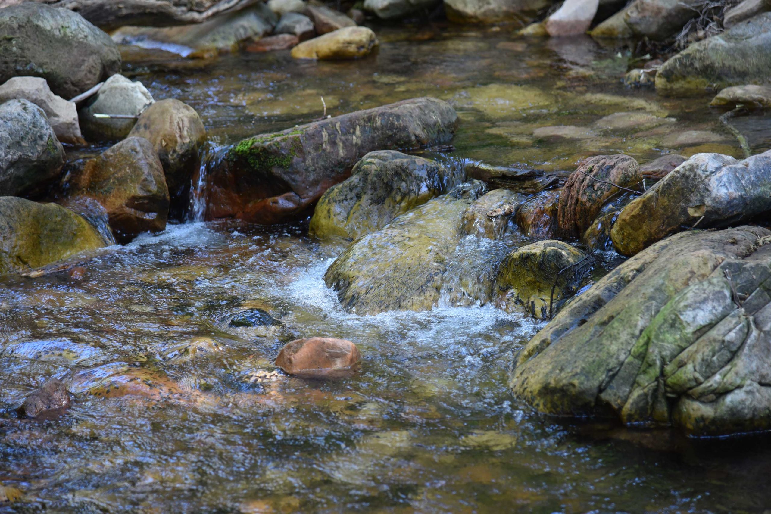
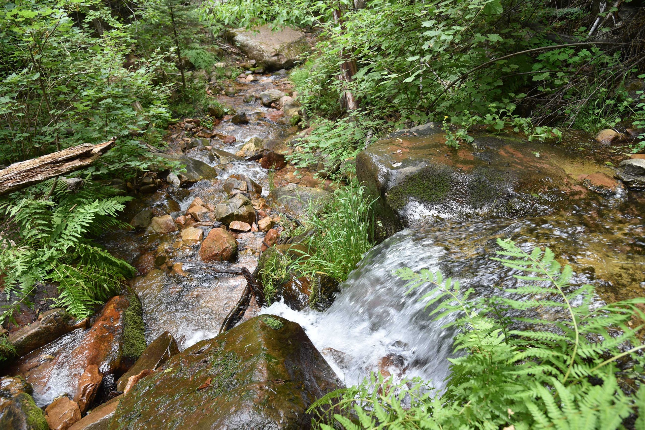
The “all you see” adage really hits home here as thick stands of Bigtooth maples, Gamble oaks, Alligator junipers, Arizona walnut and soaring Douglas and white firs choke the trail into a shady, slim passage obscuring all but sky and vegetation. A few sets of switchbacks mitigate the 400-foot ascent that lands hikers in an enchanting natural water park setting. Roughly 1.3 miles from the trailhead, the first signs of the See Spring conglomerate of waterworks appear as jumbled ravines funneling crystalline streams. Follow the faint footpaths another 0.2-mile and you’ll arrive at the spring source where water pours from rock crevices all around. The splashy rhythms of water rushing over mossy boulders and flattened ferns complemented by bird calls and rustling leaves combine for a calming culmination of short trek with much to see.
- LENGTH: 2.6 miles roundtrip (5 miles with See Canyon Trail)
- RATING: moderate
- ELEVATION: 6,106 – 6,725 feet (7,860 feet with See Canyon Trail)
GETTING THERE:
From Payson, go 20.2 miles east on State Route 260 to the Christopher Creek Loop exit, turn left and continue 1 mile to Forest Road 284 (across from the Tall Pines Market), turn left and go 1.6 miles to the trailhead. Access road is good dirt/gravel suitable for all vehicles.
- FACILITIES: restroom
- HOURS: n/a
- FEES: none