Kaibab National Forest, Williams
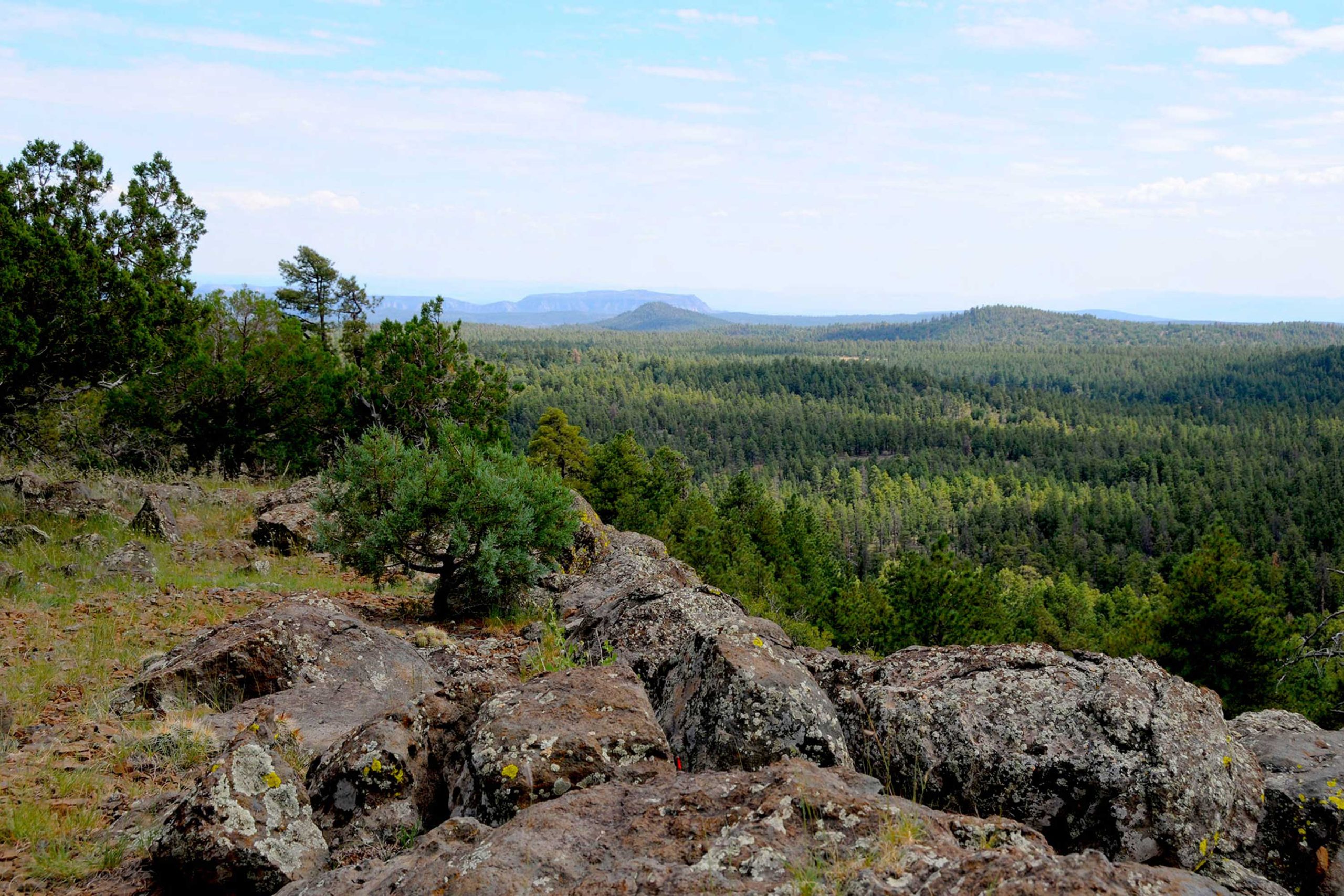
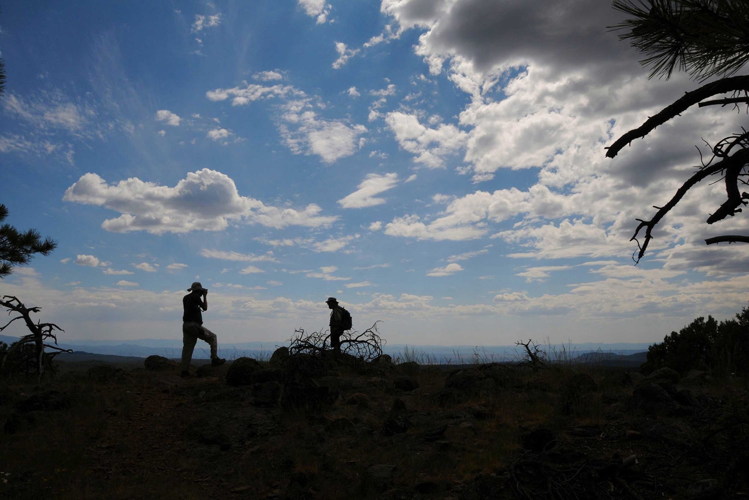
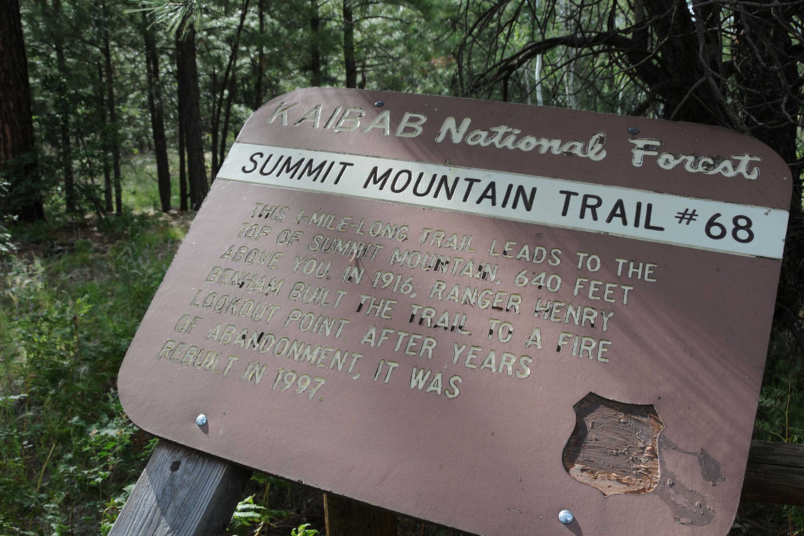
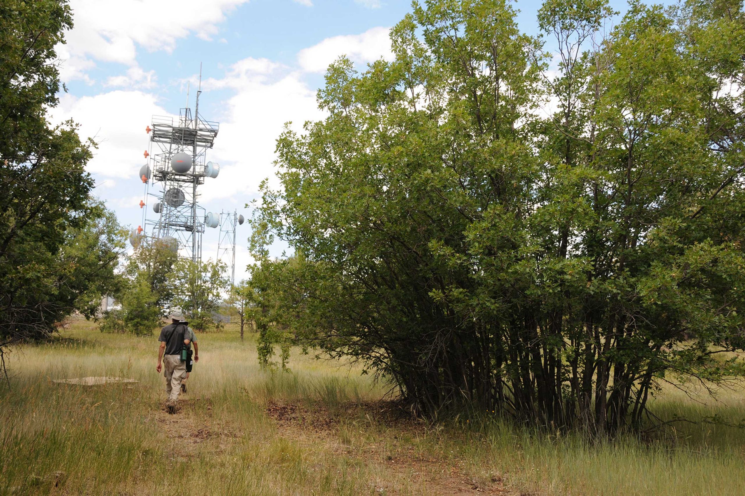
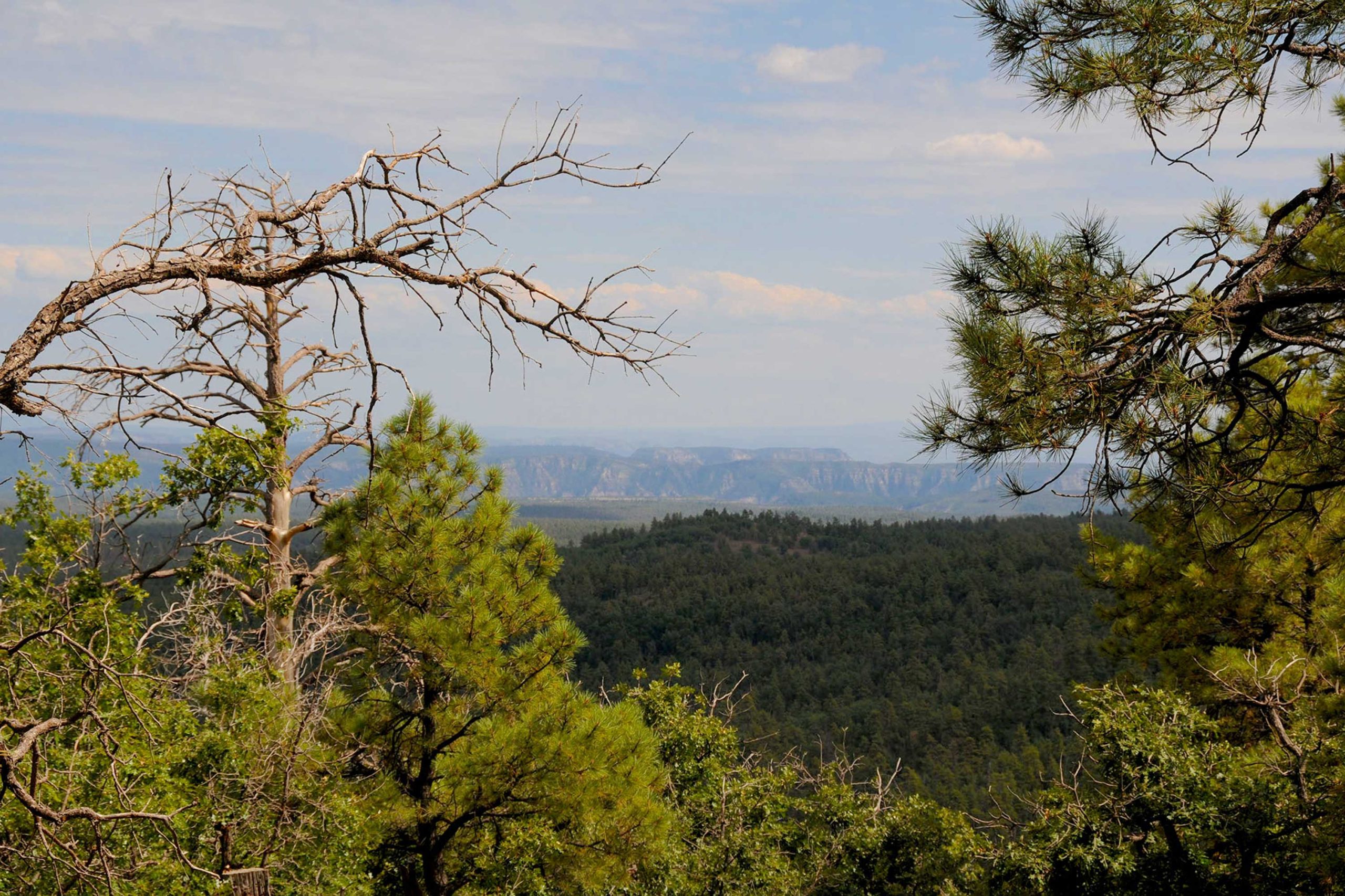
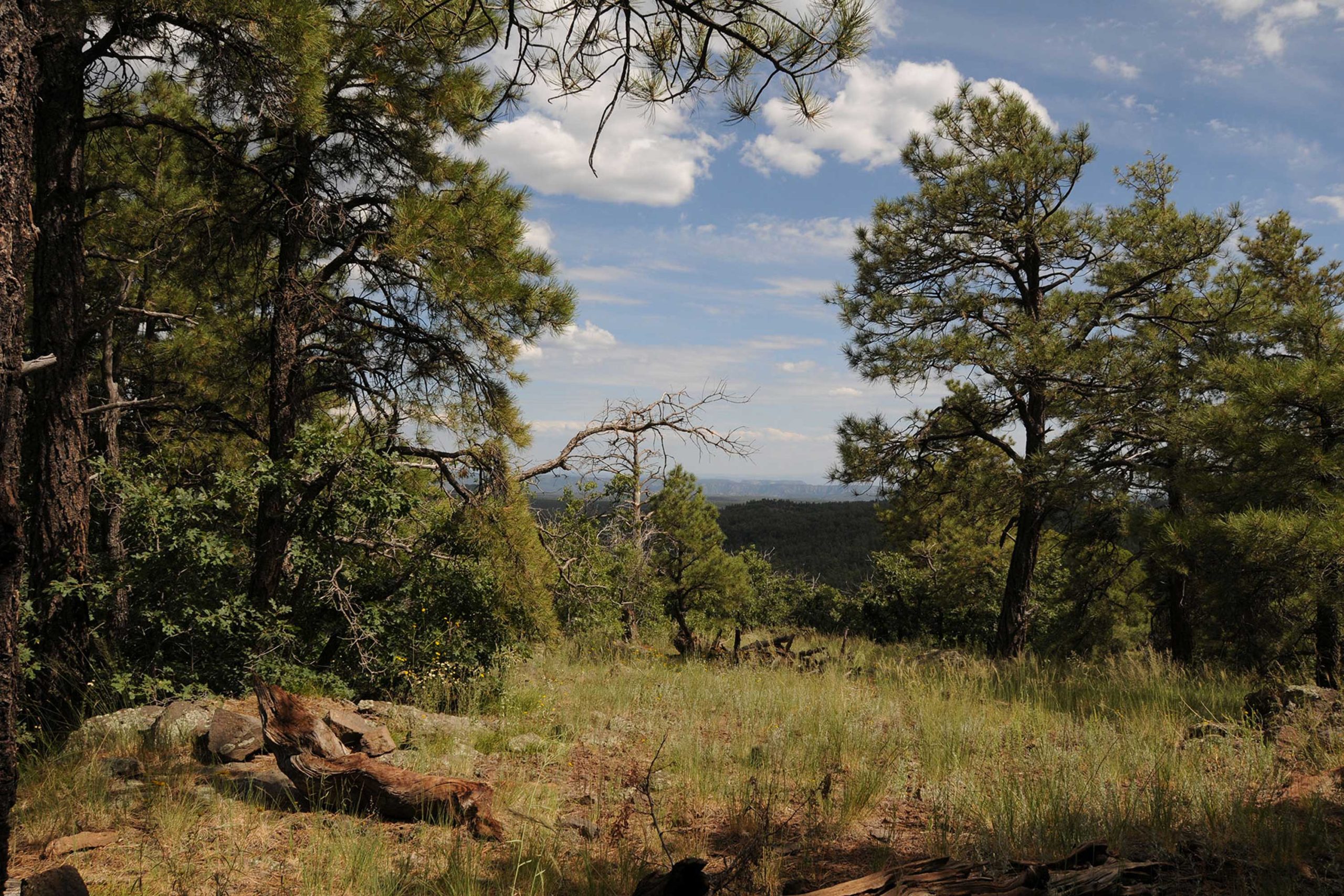
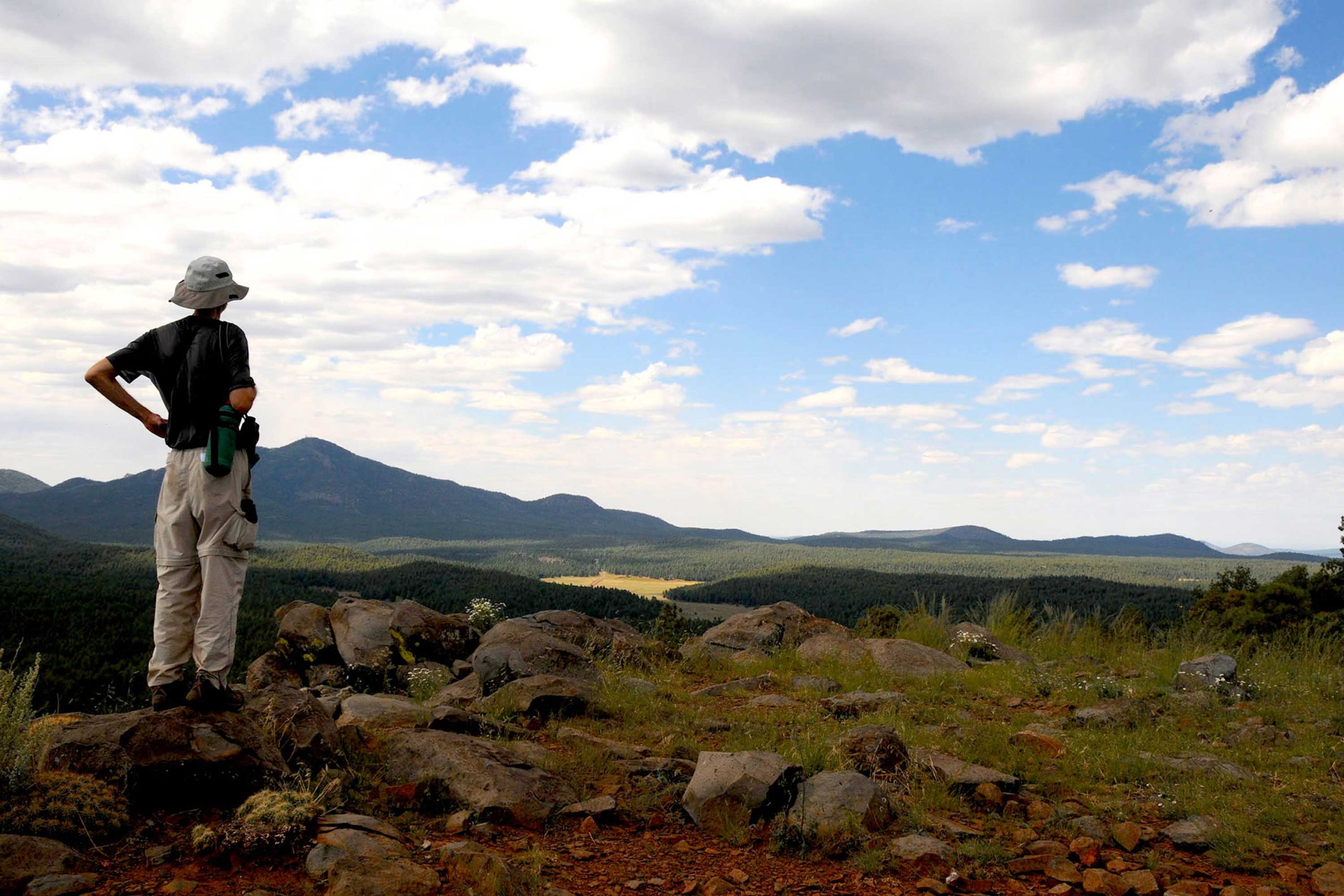
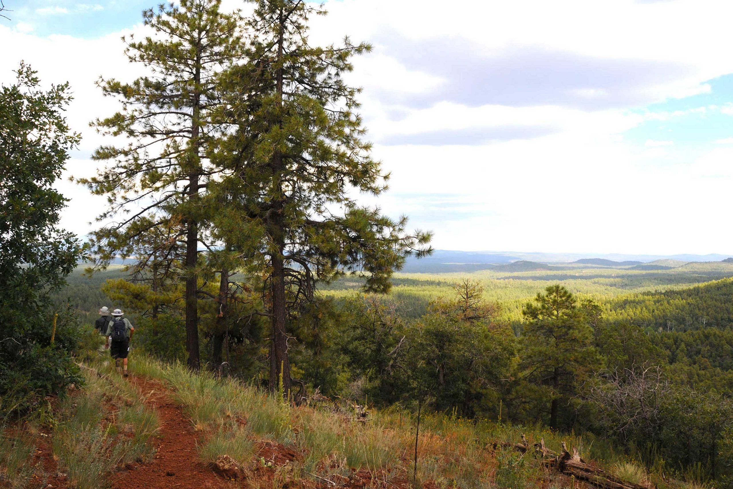
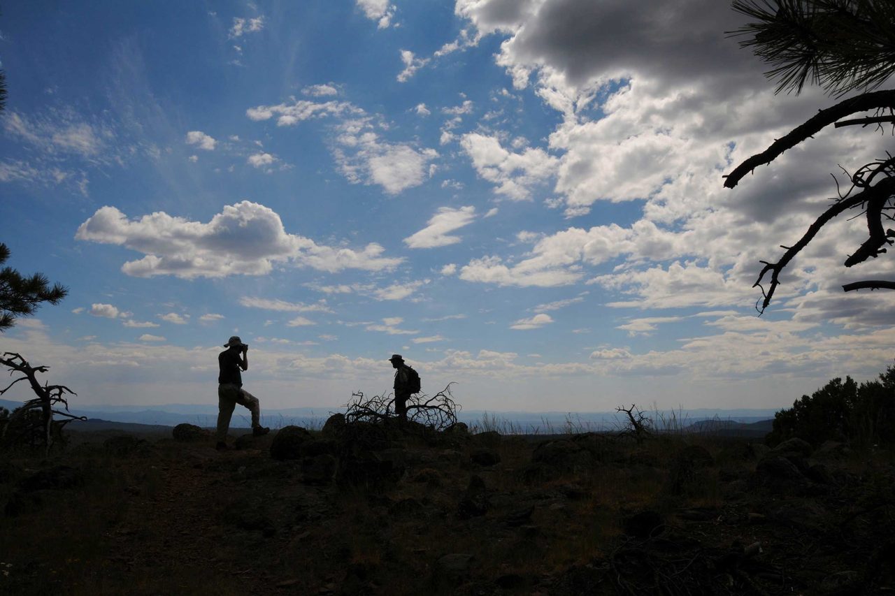
Aptly named, Summit Mountain delivers a quintessential peak-conquering experience—but without the pesky sore muscles and taxed lungs. Ascending through thick broadleaf-coniferous woodlands, the trail is a cinch to follow, gaining elevation gradually via long, easy switchbacks. Trees lining the path seem to know when it’s time to move aside to reveal sigh-worthy views of the surrounding landscape, treating hikers to a continually-changing menu of eye candy. Near the top, the trail flattens out as it emerges on a windy mesa with two excellent viewpoints. The first is a precipitous shelf of volcanic boulders teetering above the colorful and tumultuous gorge of Sycamore Canyon Wilderness. Here, a mixed bag of raw geological features spills out in a 180-degree arc resembling the frenzied canvas of a tortured artist. After exhausting your camera batteries (photo ops abound), proceed toward the communication towers and a second (even more precipitous) cliff overlooking a pine-fleeced basin laced with dirt roads and railroad tracks in the shadow of Bill Williams Mountain.
- LENGTH: 2.2 miles round trip
- RATING: moderate
- ELEVATION: 7,147 -7,797 feet
- BEST SEASON: May – October
From Flagstaff, travel 27 miles west on Interstate 40 to exit 165. At the bottom of the offramp, veer left and follow Railroad Road 2.6 miles through Williams to 4th (Fourth) Street on the left. Drive 8.3 miles south on 4th Street (a.k.a. Perkinsville Road, County Road 73) to milepost 177 and turn left onto Forest Road 110. Continue 2 miles to the signed turn off for “Summit Mountain Trailhead” at Forest Road 2113A on the right. Turn right onto FR2113A and go 0.5 mile (veer right at the 2111 fork) to the trailhead on the right. Roads are paved, dirt & gravel—all suitable for cautiously-driven passenger cars.
- FACILITIES: none
- HOURS: n/a
- FEE: none