Kaibab National Forest
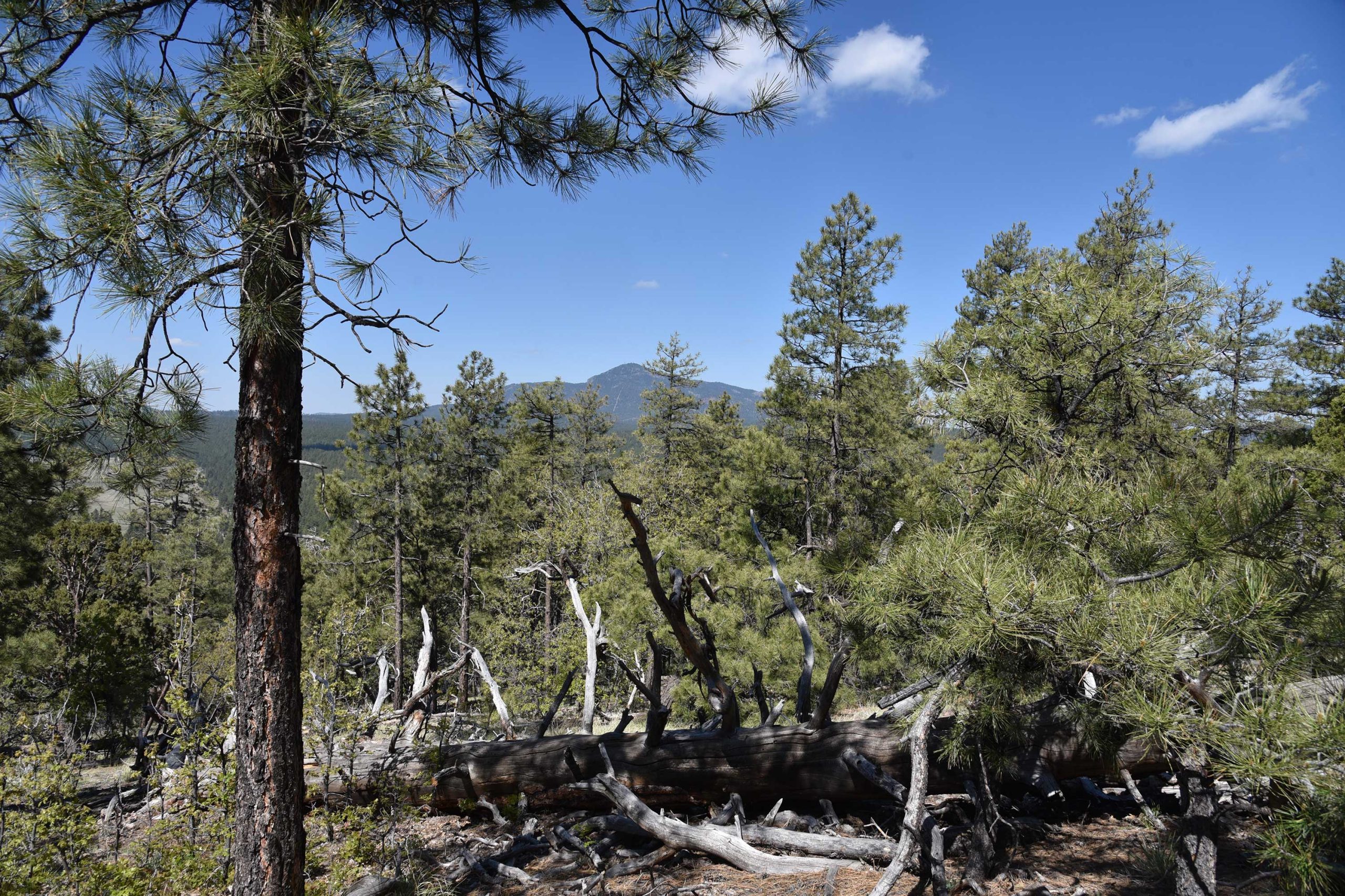
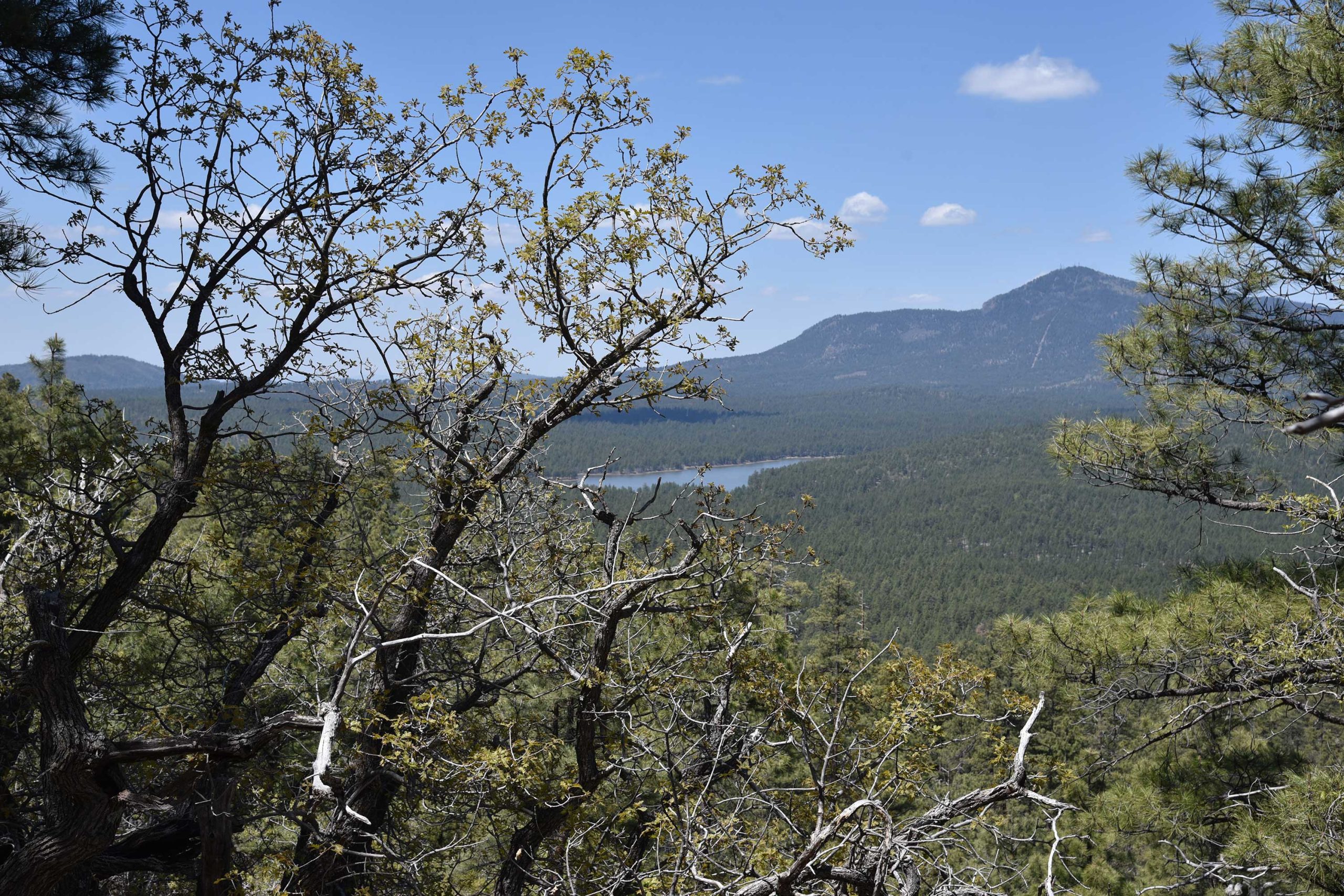
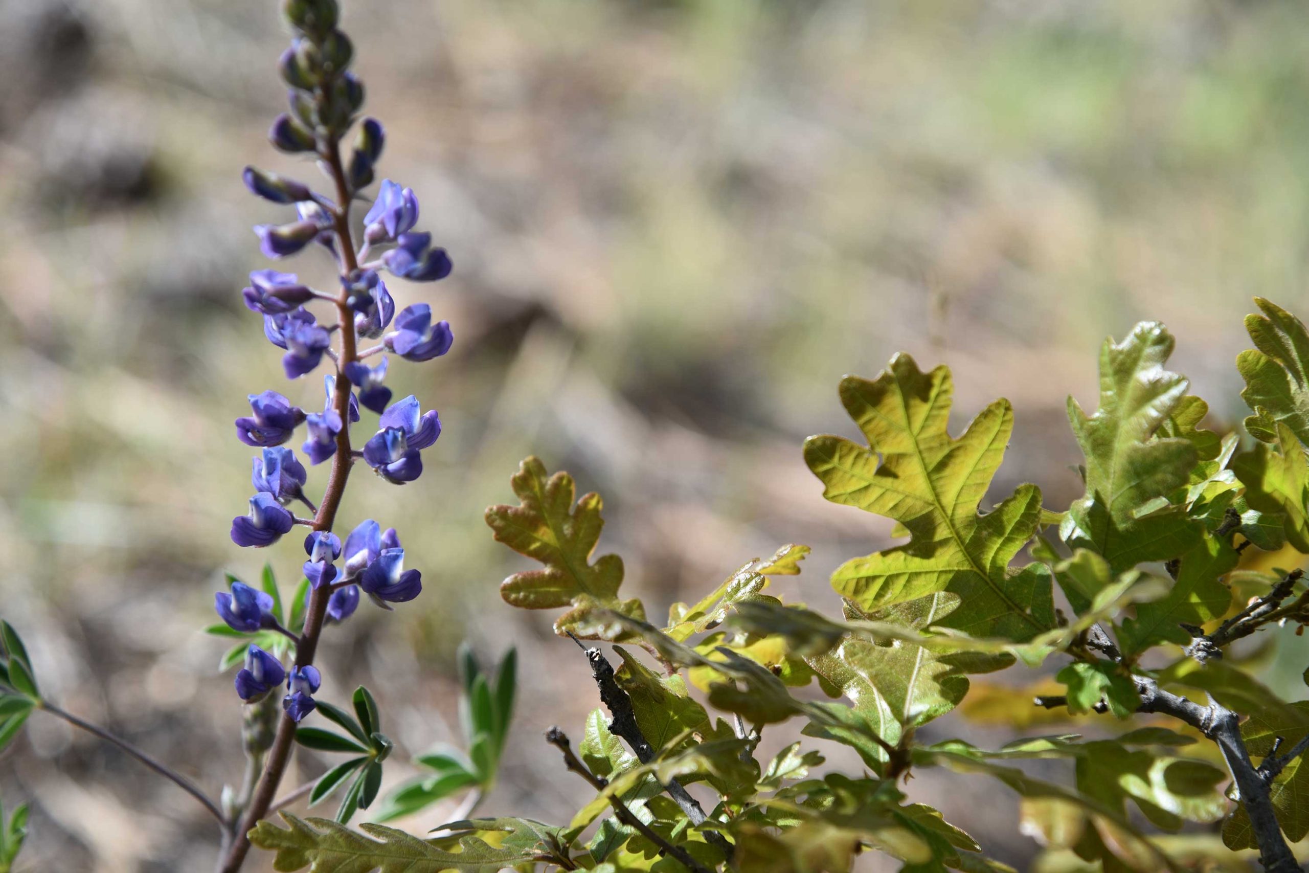
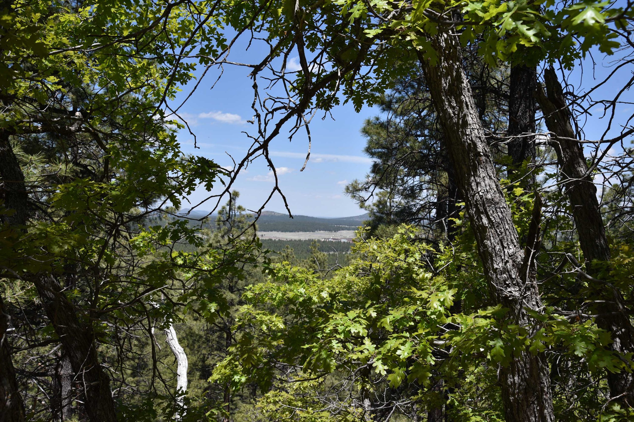
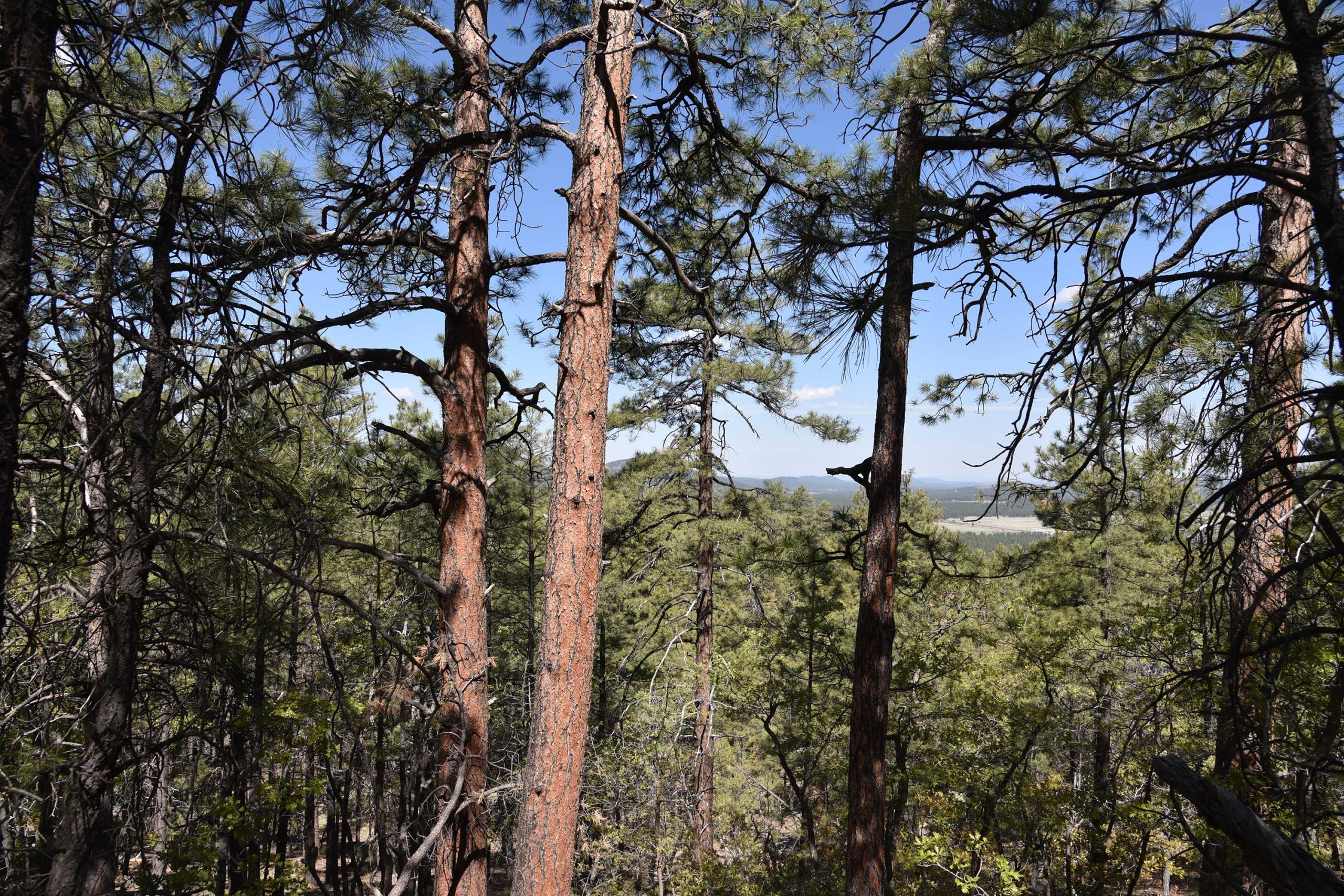
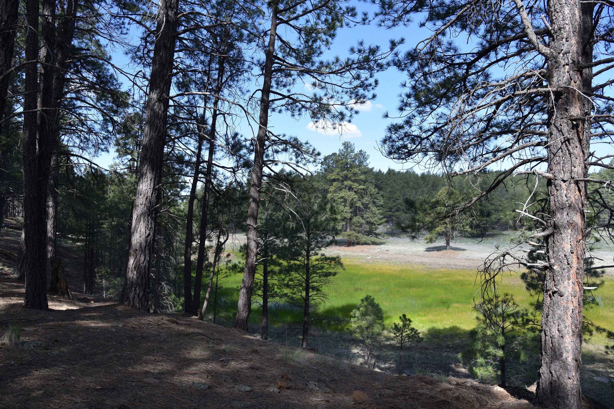
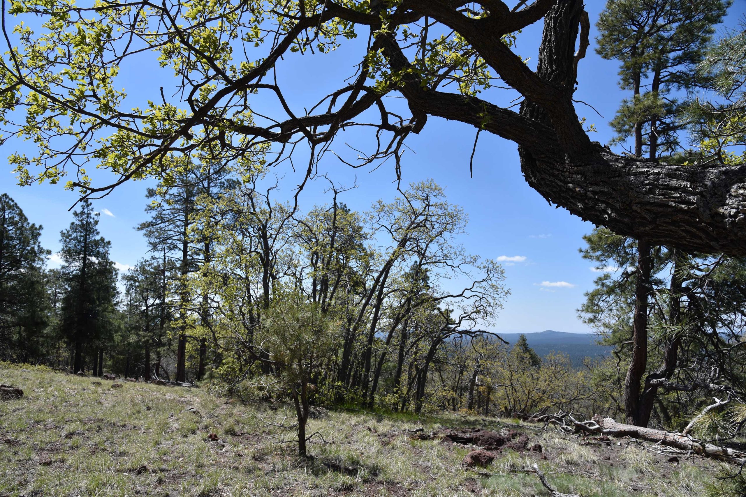
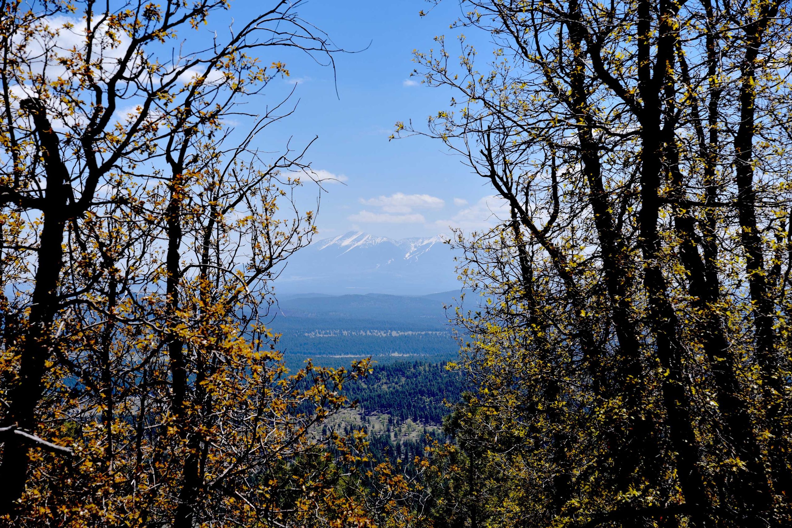
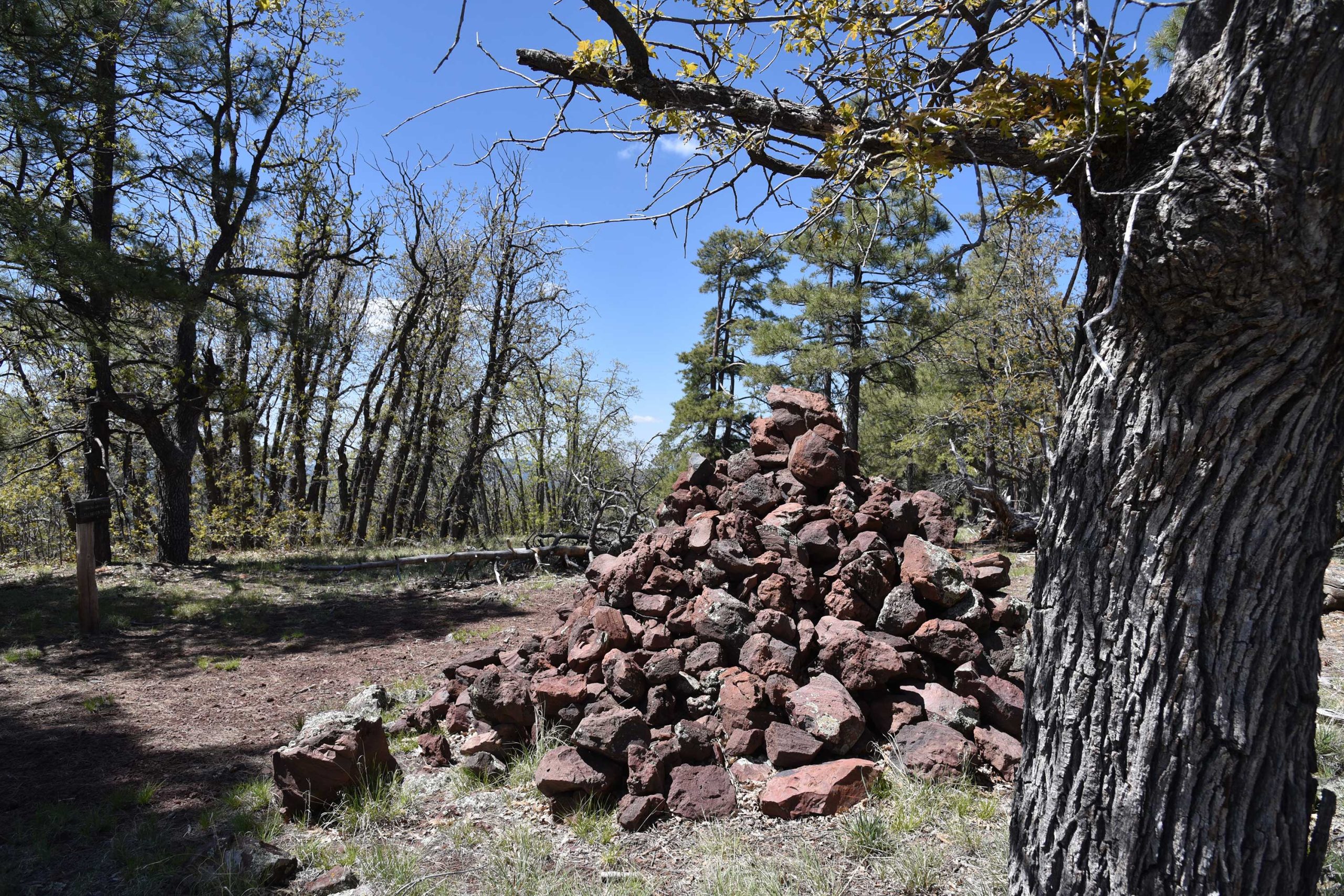
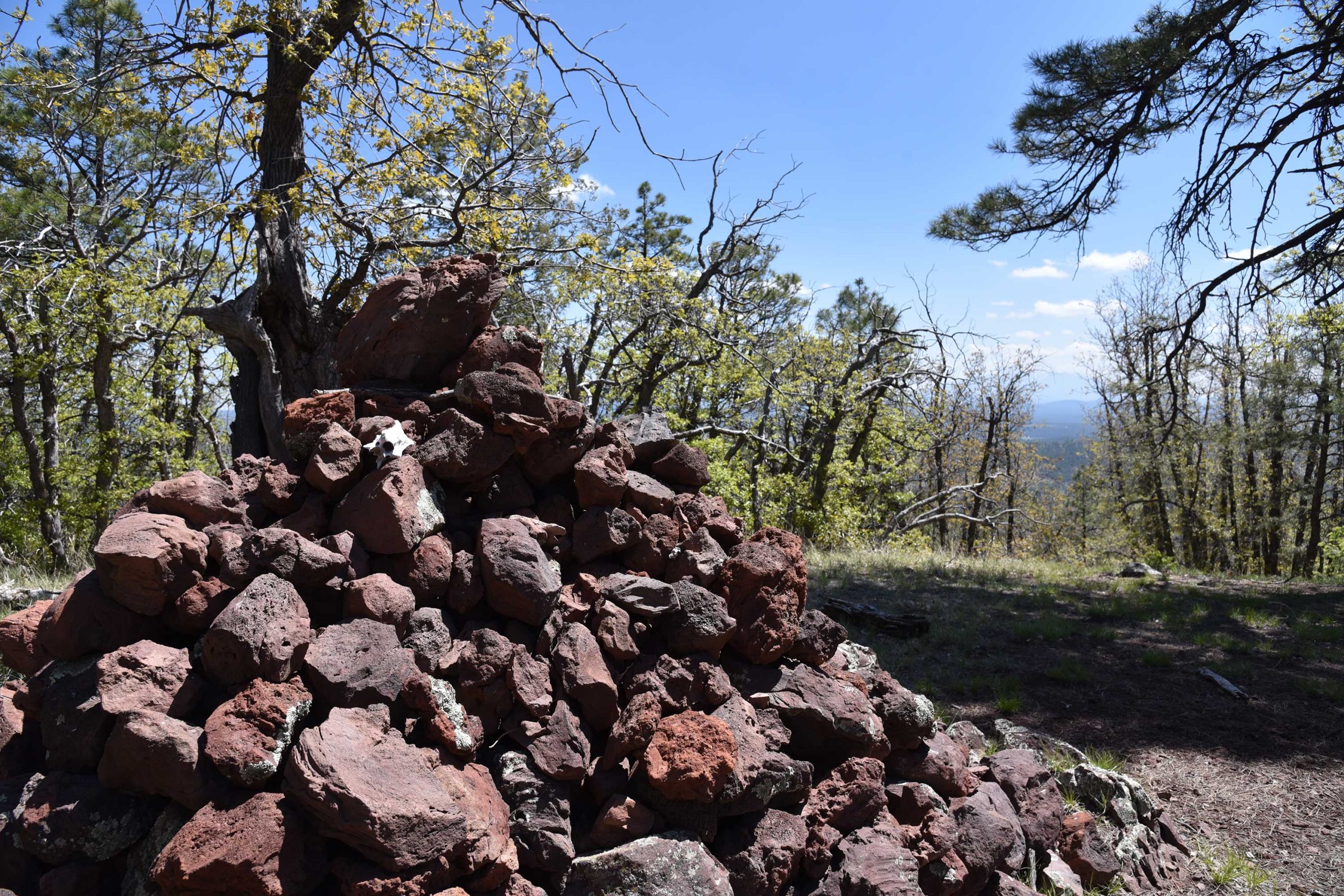
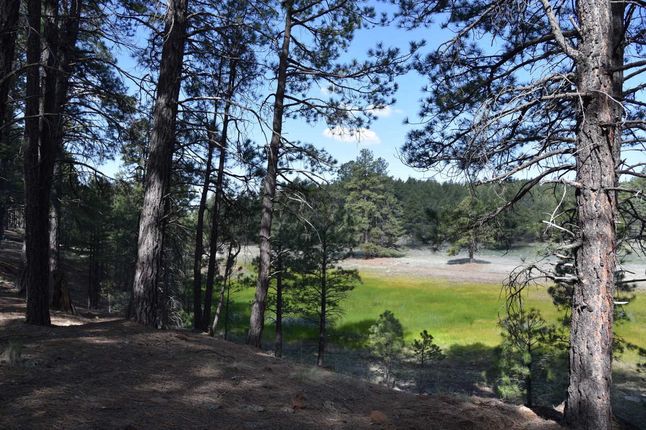
Situated in the far southwest corner of the San Francisco Volcanic Field–a swath of impressive igneous features that arcs from the northern Arizona town of Williams to Flagstaff– Davenport Hill is an anthill among giants. The 7,805-foot mesa-like mound near Dogtown Lake 8 miles southeast of Williams barely registers a blip on hiker radar and recedes when compared to nearby lava domes and composite volcanoes like Bill Williams Mountain (8,800 feet), San Francisco Peaks (12,633 feet) and Kendrick Peak (10,418 feet). Like its contemporaries, Davenport Hill sports a scenic trail that leads to its summit. For a less physically-demanding but rewarding summit trek, a hike up this little hill delivers the goods without the pain. Deeply wooded for its entire length, the trail twists up the hill’s north face through several vegetation zones, terrain types and vista orientations for a continually-changing sensory experience. The trek begins on the Ponderosa Trail, a 1-mile interpretive loop that passes through pine forests at the edge of green wetlands behind the Dogtown Lake dam. The moist swale that bisects this easy loop is a magnet for mountain bluebirds, robins, Steller’s jays, waterfowl, elk, bears and furry critters. At the 0.3-mile point, turn right at the Davenport Hill trail sign where the route passes a gate before taking on the mountain in a leisurely mix of short, steep climbs and lingering inclines. Although the trail ascends 755 feet, flowing switchbacks take most of the sweat and toil out of the climb. The first mile is an effortless stroll through woodlands of Gambel oak, Ponderosa pines and sunny clearings. The uphill trudge begins where the trail crosses unsigned Forest Road 717 and moves onto the first of several edge-hugging switchbacks. Breaks in the tree cover reveal views of the mountains and prairies of the Kaibab National Forest and the faint clank and hum of passing trains. Look carefully in the direction of the mournful rattles and horns and you might spot a train snaking across the plains. Farther up, the trail ducks into a sheer canyon shaded with moss-draped Douglas and white firs. The slim path traverses the canyon walls landing hikers on the final uphill haul where picture-perfect views of Dogtown Lake and Bill Williams Mountain dominate the horizon. A massive rock pile made reddish lava blobs marks the summit proper. Beyond the super cairn, views of the San Francisco Peaks stand out on the northeast skyline.
- LENGTH: 5.6 miles roundtrip
- RATING: moderate
- ELEVATION: 7,050 – 7,805 feet
GETTING THERE:
Dogtown Lake trailhead
In Williams, go 3.8 miles south on Fourth Street (County Road 73/Perkinsville Road) to Forest Road 140. Turn east (left) onto FR 140 and go 2.8 miles to Forest Road 132, turn north (left) onto FR 132 and go 1.2 miles to the boat ramp at Dogtown Lake campground. From the boat ramp parking area, follow the Ponderosa Trail 0.2-mile to the Davenport Hill trail junction.
FEE: There’s no fee for day-use parking and there are restrooms and picnic tables nearby. Camping is by reservation only.
HOURS: n/a