Coronado National Forest , Sierra Vista
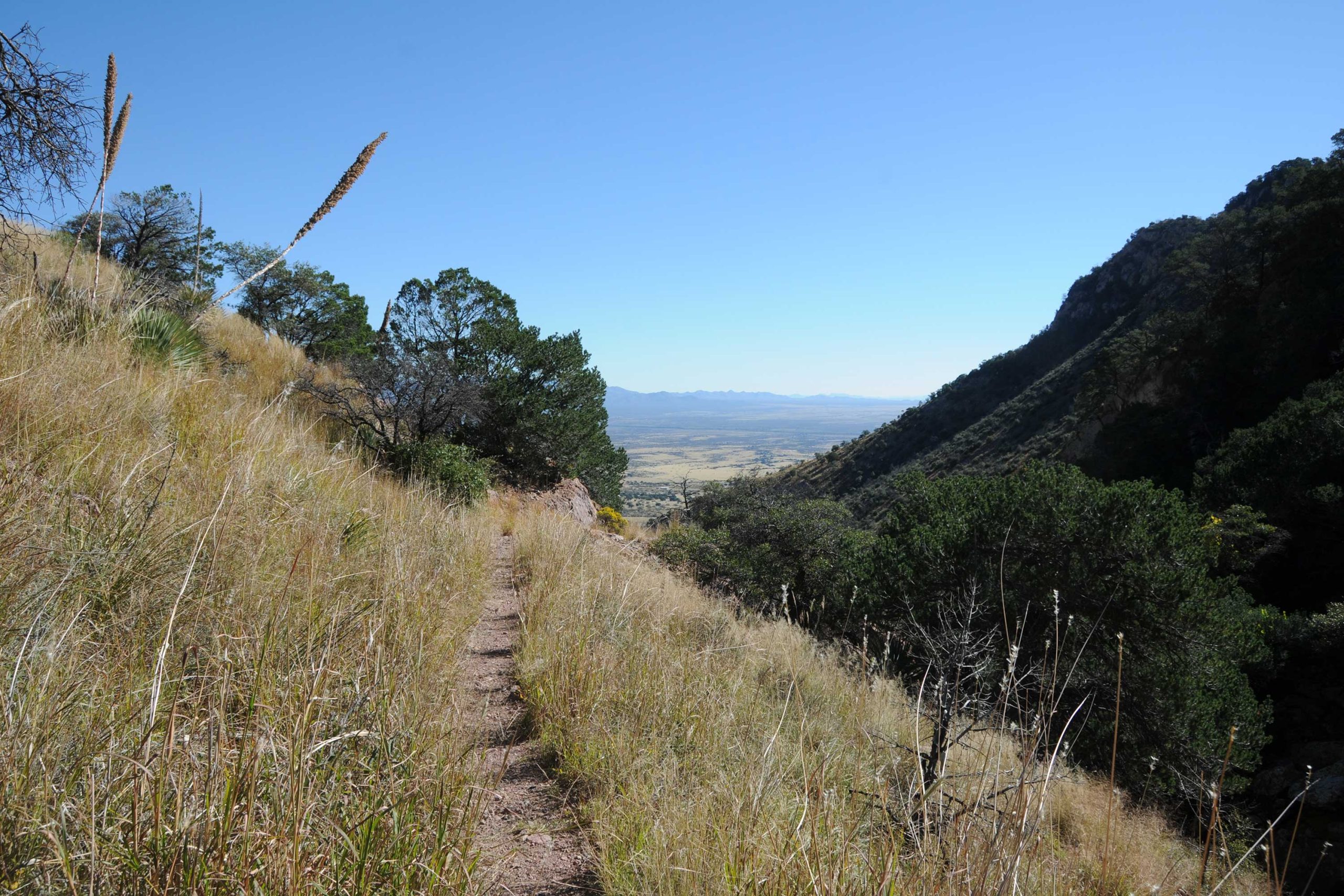
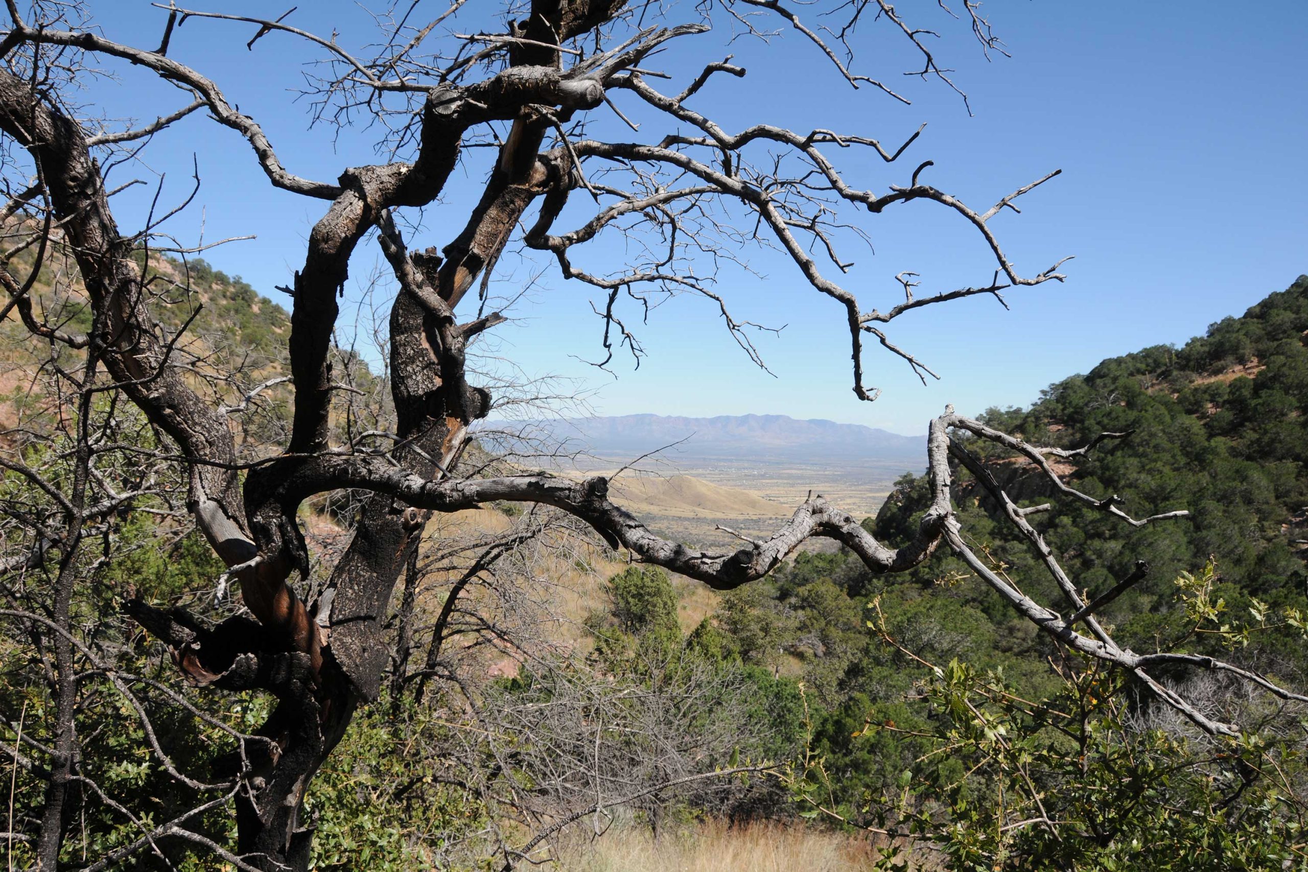
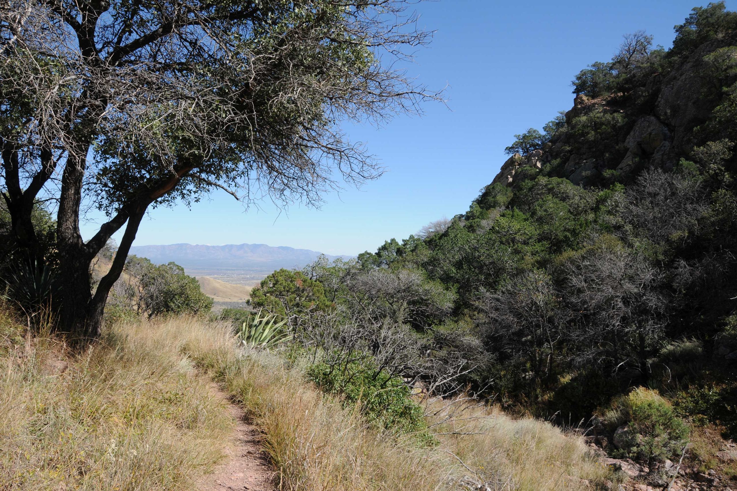
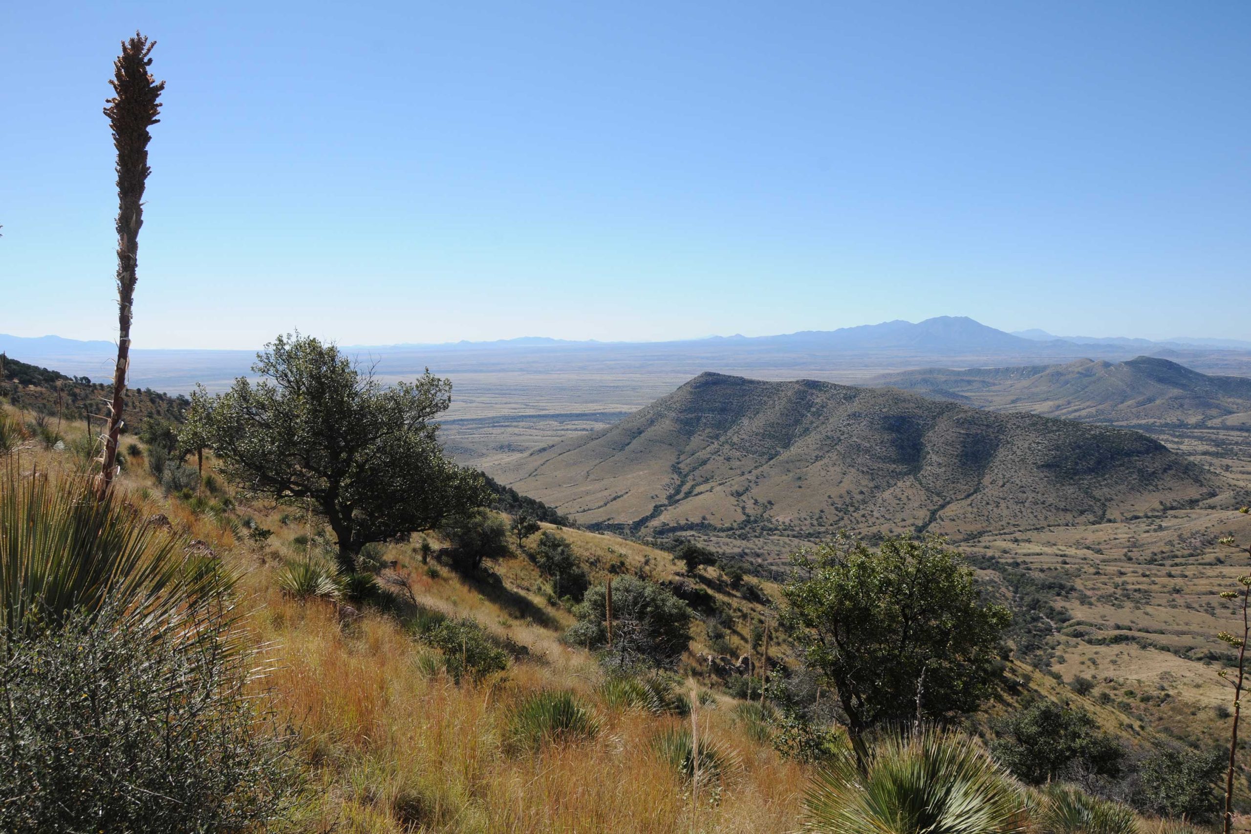
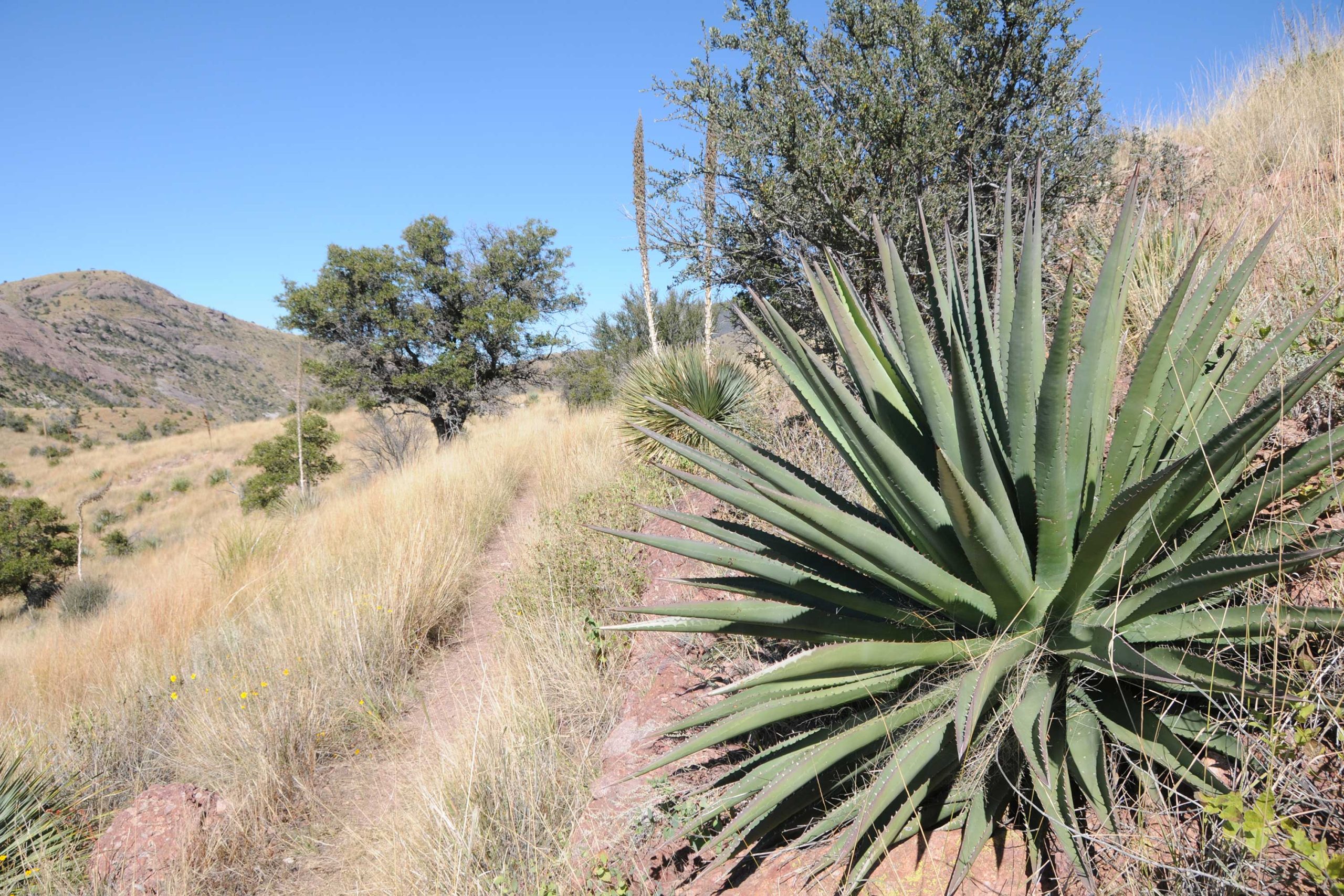
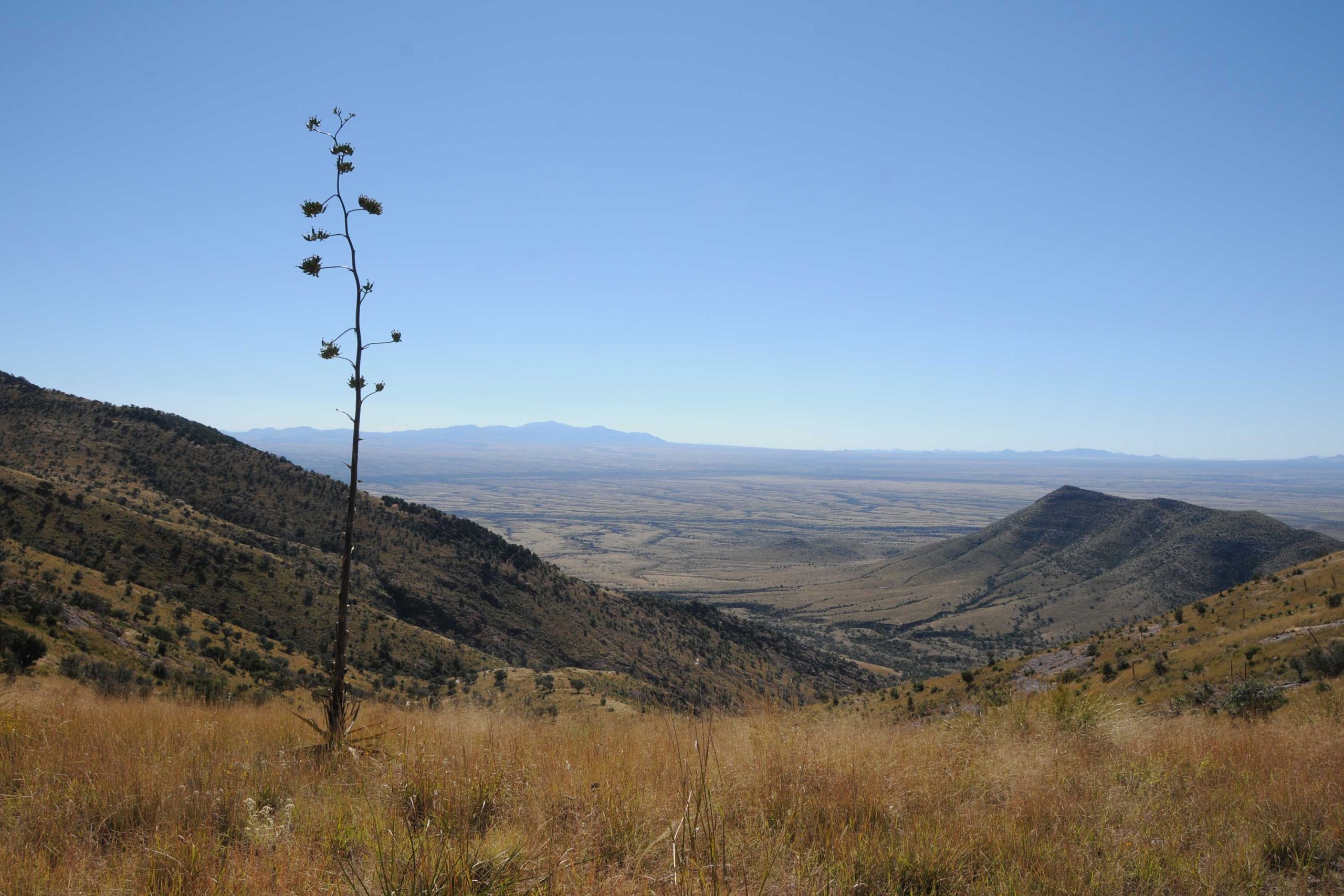
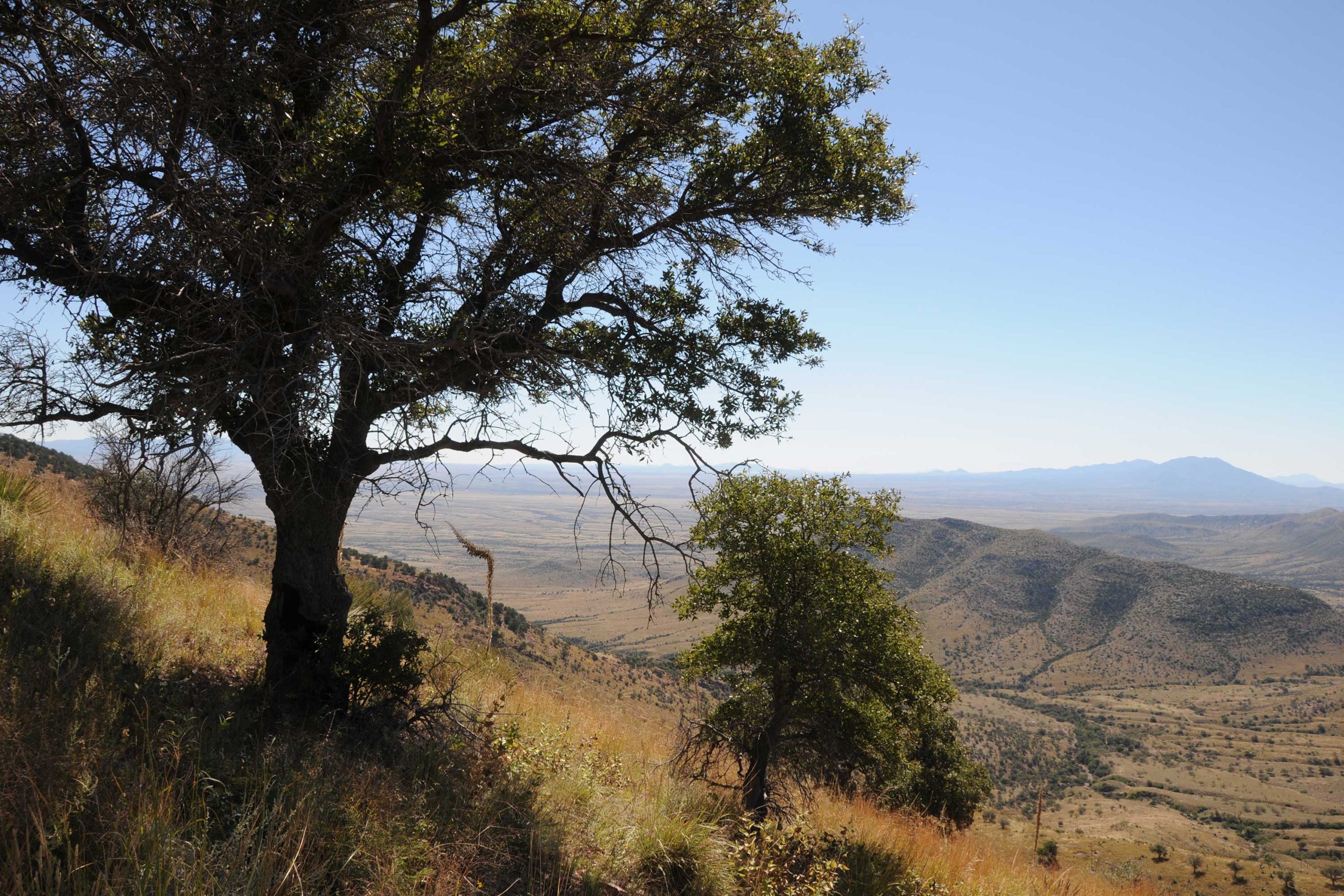
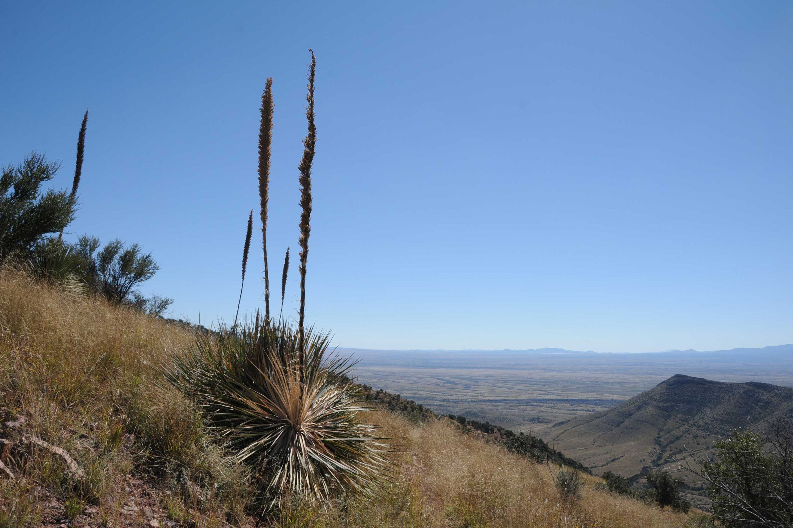
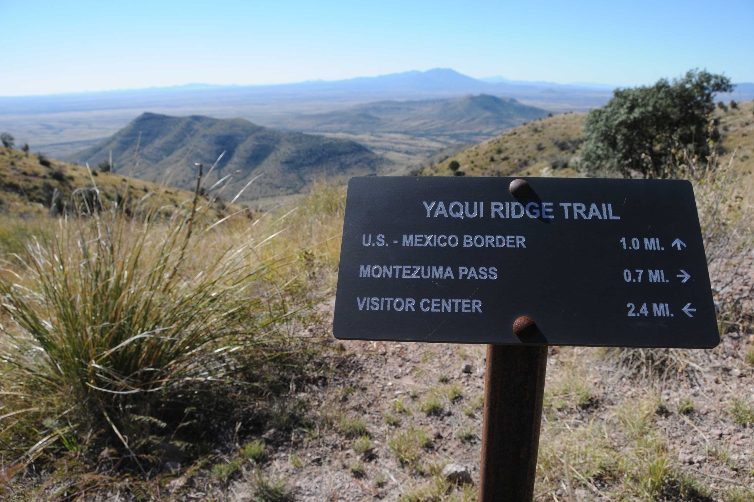
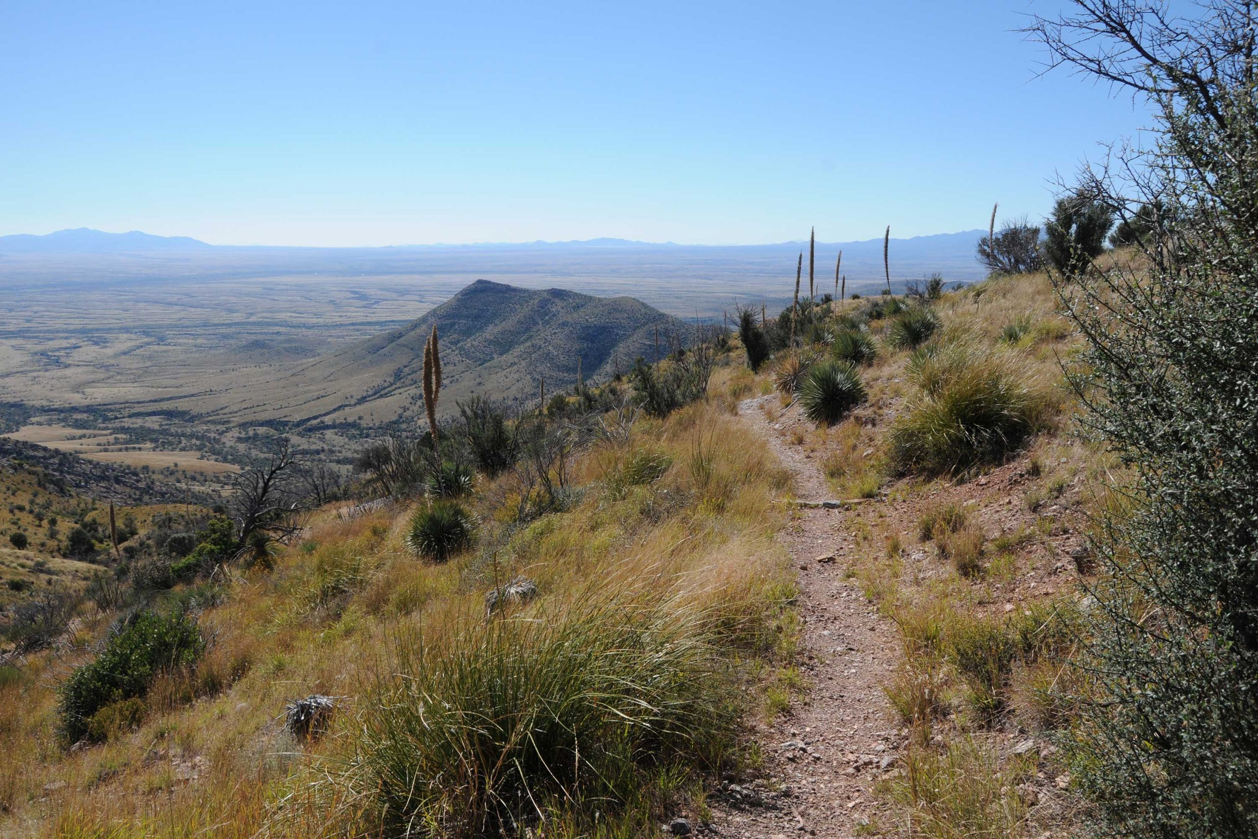
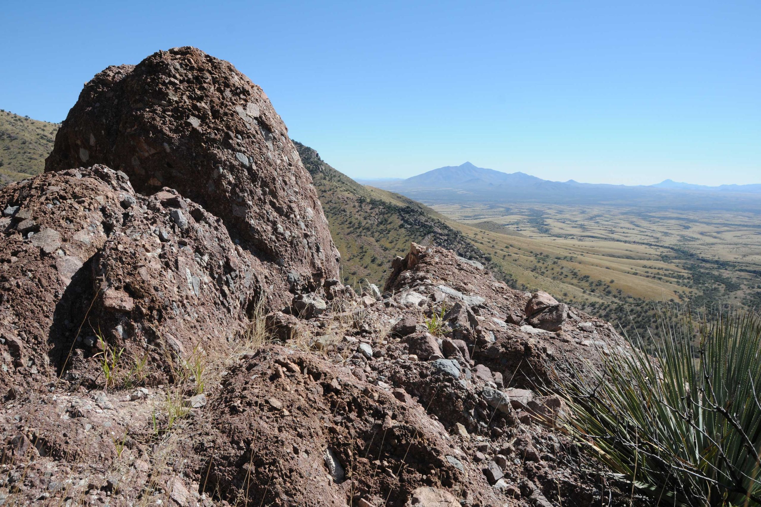
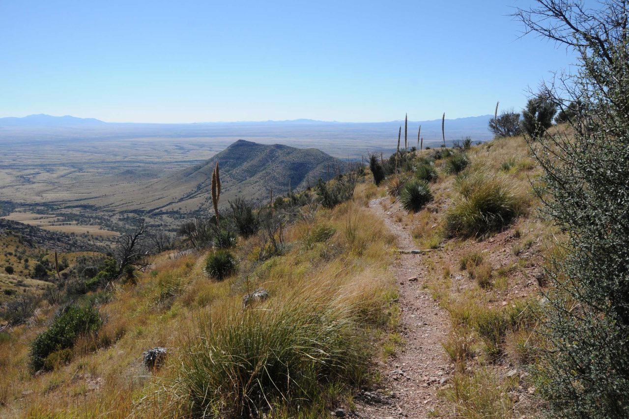
In order to trek the entire 817-mile Arizona Trail from the Mexico border to Utah, you have to start by hiking backwards. That’s because the trail’s southern terminus is only accessible on foot. The nearest drive-up trailhead is a mile uphill at Montezuma Pass near Sierra Vista. So, everybody who hikes the Arizona Trail does the first mile twice. Although there are many hikers who plow straight through the trail on months-long marathon journeys, most approach the route in fits and spurts, knocking off passages with day hikes and weekend backpack adventures. For the casual visitor, the trail can also be sampled with short trips and loop hikes that spin off connecting routes. One interesting and scenic option to explore the Huachuca Mountains passage begins at the Coronado National Monument Visitor Center. Pick up the Joe’s Canyon Trail that climbs 1,400 feet up a sheer-walled gorge that tops out on the airy grasslands of Smuggler’s Ridge where you’ll head right and walk along the knife-edge saddle with see-forever views overlooking the Mexican State of Sonora. At the Yaqui Ridge Trail junction, the route descends 600 feet through acres of ocotillo and cholla to the international boundary post 102 that marks the beginning (or end) of Arizona’s most epic journey.
- LENGTH: 6.8 miles roundtrip
- RATING: moderate
- ELEVATION: 5,006 – 6,493 feet
- BEST SEASON: September – May
GETTING THERE:
From Tucson, travel south on Interstate 10 to State Route 90 Exit 302 and go 25 miles south to Sierra Vista. Connect with State Route 92 and continue 16 miles to S. Coronado Memorial Drive and follow it 4.7 miles (road becomes E. Montezuma Canyon Road) to the Coronado National Memorial Visitor Center. Trail begins a few yards up the road beyond the center. Parking is free.
- FACILITIES: Restrooms
- HOURS: Visitor center is open 8 a.m. to 4 p.m. daily. Closed Thanksgiving and Christmas.
- FEES: none for day-use parking