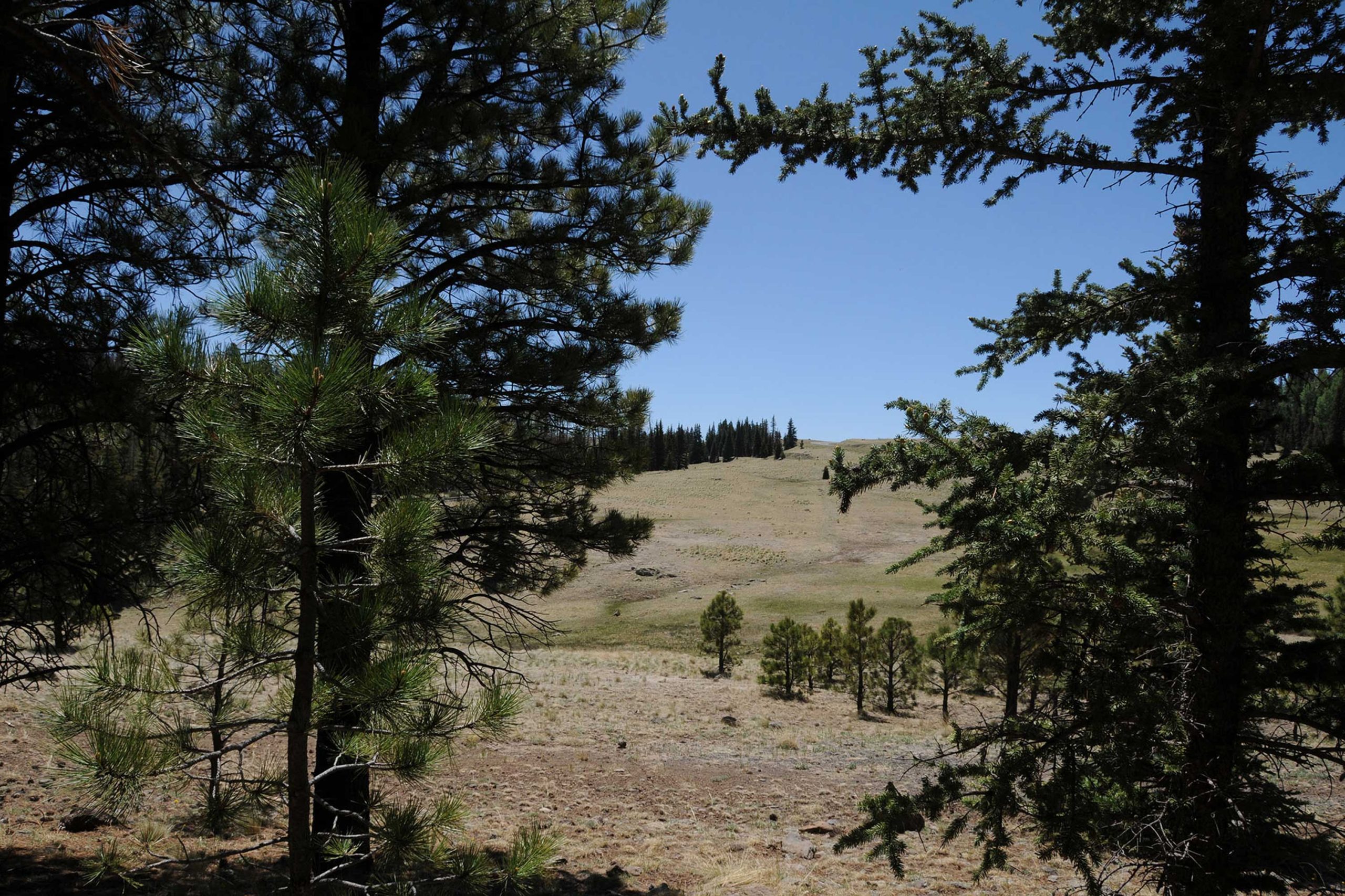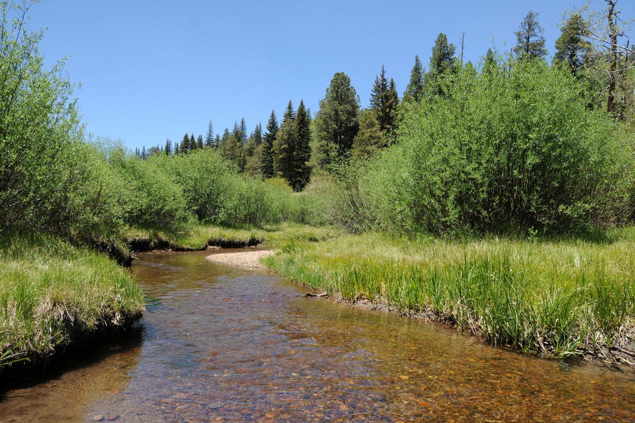
Apache-Sitgreaves National Forest, near Greer
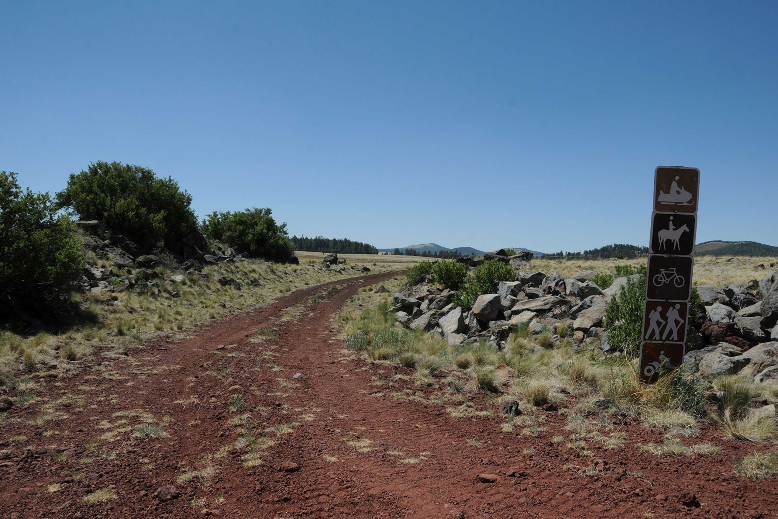
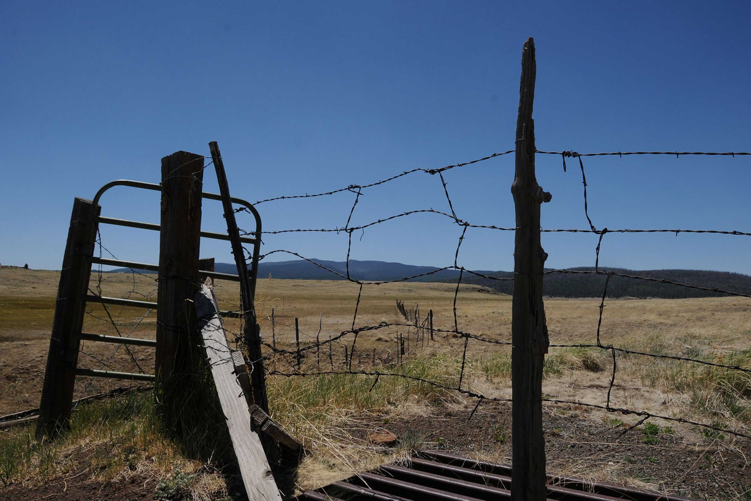
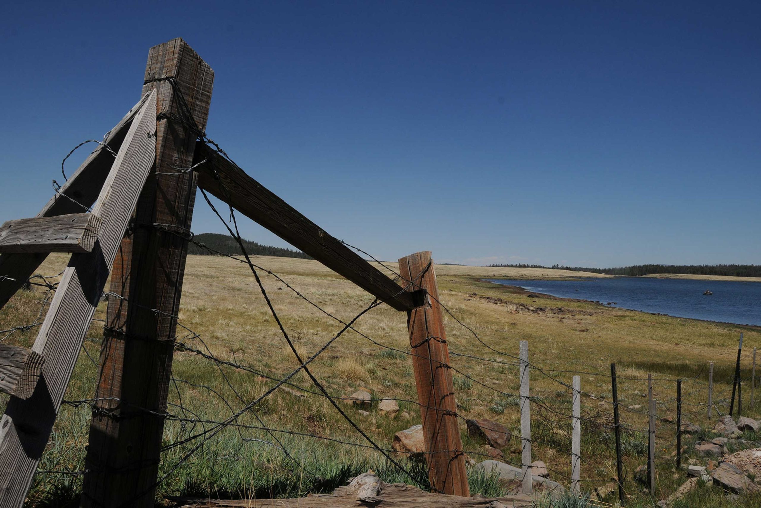
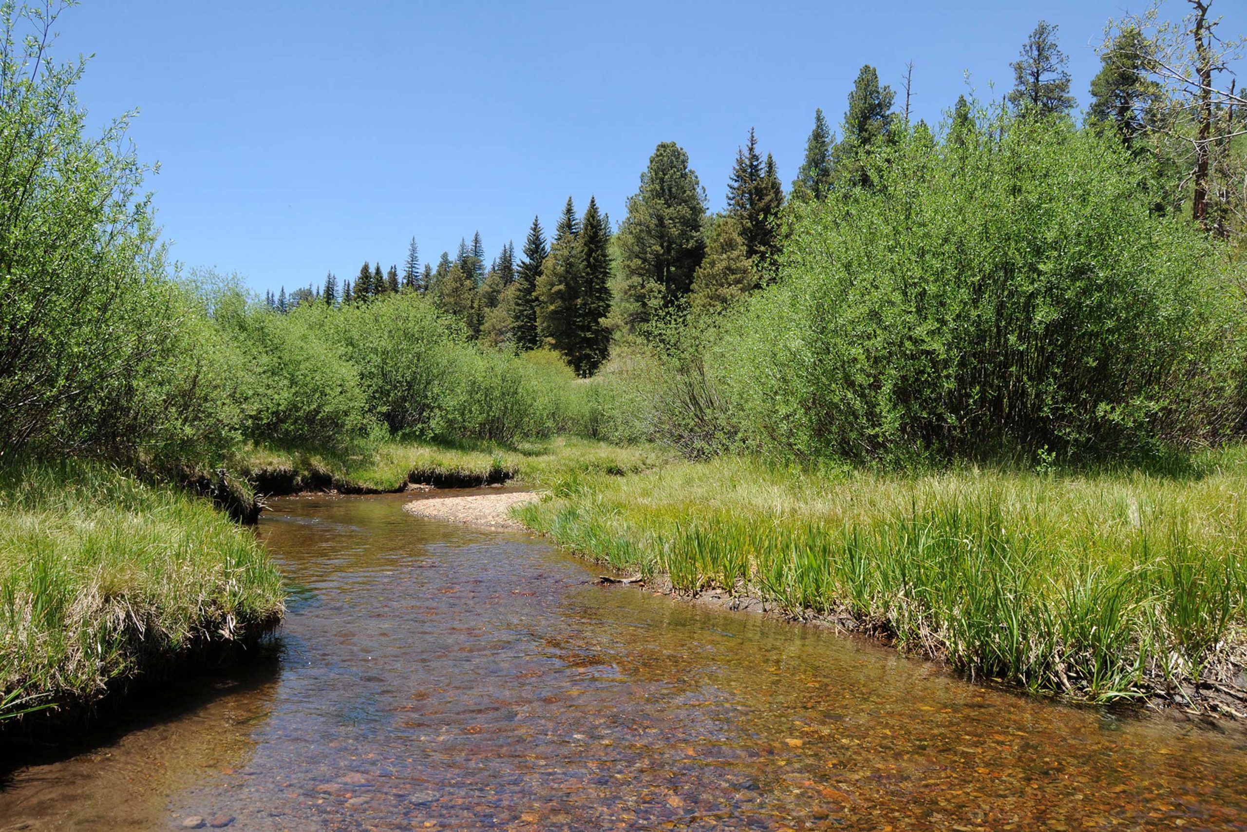
Over its 21-mile course, Railroad Grade Trail passes by five lakes, crosses three streams, and makes a creaky traverse of an old-style trestle bridge. Once used by the Apache Railroad to service bygone logging operations, the route had a brief second wind as a tourist ride before being decommissioned and repurposed into its current status as a hike/bike/horse trail. Because of its relatively flat terrain, ever-changing scenery, four trailheads, connectivity with other popular White Mountains trails and proximity to campgrounds, hiking this historic gem is do-able as a long day hike or a multi-day excursion. The cinder substrate trail runs north-south between State Route 260 and Big Lake through marshes and fur-spruce woodlands flanked by the volcanic massif of Mount Baldy ridge, which at 11,420 feet is the second highest point in Arizona that you can hike to legally. Mid-way through the trek, the route passes through a tunnel under State Route 273 emerging at Sheep Crossing, a popular fishing spot on the West Fork of the Little Colorado River. Here, the trek makes an easy ascent up toward the West Baldy Trail and the hike’s highest point where scars from the 2011 Wallow Fire paint the forest in shades of gray. Heading down toward Big Lake, views of 10,912-foot Escudilla Mountain stand out among treeless grasslands punctuated with glassy ponds that attract blue heron, eagles and swarms of waterfowl. This is also cattle country, so herd encounters are guaranteed, especially along the last miles leading to the trail’s southern terminus at Railroad Cove—a northern estuary of Big Lake.
- LENGTH: 21 miles one-way
- RATING: easy
- ELEVATION: 8,950 – 9,350 feet
GETTING THERE:
NORTH: SR260 Trailhead:
From Show Low, go 36 miles east on State Route 260 to a point 1.5 miles beyond State Route 273 at milepost 379. The signed trailhead is on the right. Paved roads.
MID-WAY, 8 miles from SR260: Sheep Crossing Trailhead:
From Show Low, go 35 miles east on State Route 260 to State Route 273 at milepost 377. Turn right and go 8.8 miles south to the trailhead on the right at milepost 391. Paved Roads. No facilities.
NINE-TENTHS: 18 miles from SR260: Lightning Ridge Trailhead:
From State Route 260, go 14.3 miles south on AZ 273 to Forest Road 116, turn right and drive a few yards to the trailhead on the right. Trail begins across the road.
SOUTH: Railroad Cove at Big Lake Trailhead:
From State Route 260, go 14.3 miles south on State Route 273 to Forest Road 116, turn right and continue 2.8 miles to Forest Road 249E, turn left and drive 1.8 miles to Forest Road 249G turn left and follow the road 0.3-mile to the parking area. Forest Roads 116 and 249E/G are sedan-friendly dirt.
- FACILITIES: Restrooms at the SR260 trailhead
- HOURS: n/a
- FEE: none