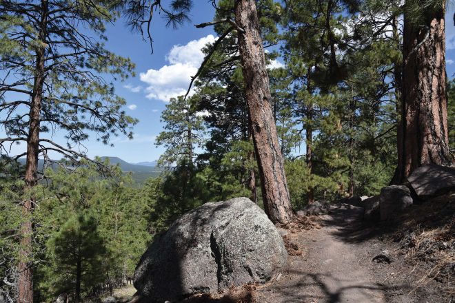
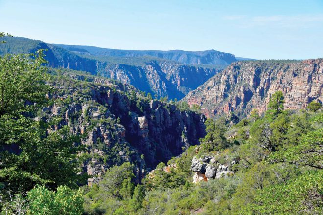
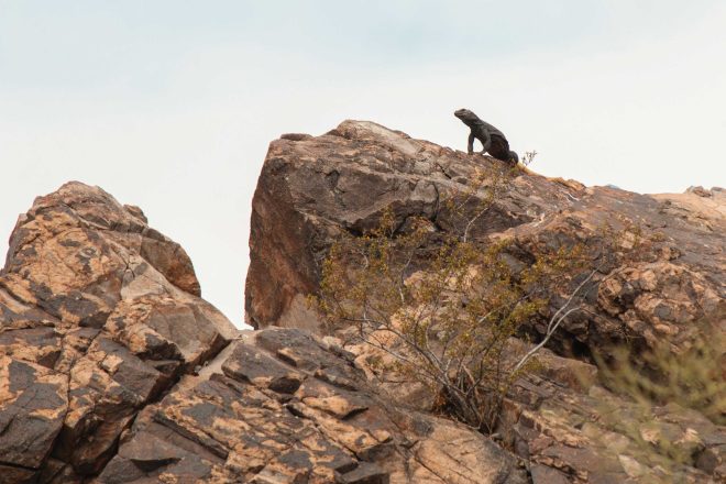
For teacher Dawn Olson, knowledge gained on hiking trails frequently flows into her lesson plans. “My students often hear me say that some of our greatest learning in life comes from beyond the four walls of our classroom,” the Cave Creek resident says.

Seeking to stimulate imaginations and instill interest in the environment, Olson uses photos taken on the trails to inspire her middle school creative writing students. Among Olson’s favorite educational hike destinations are the Legends of Superior Trails (L.O.S.T.) in Pinal County – a historical bonanza that encompasses the territorial mining hub of Pinal City; a riparian corridor along Queen Creek; a tunnel in an abandoned segment of old US 60; and myriad geological landmarks. Olson praises the L.O.S.T. volunteers who not only led a guided hike of the Arnett Canyon segment of the trails, but also treated the hike group to homemade cookies back at the trailhead.
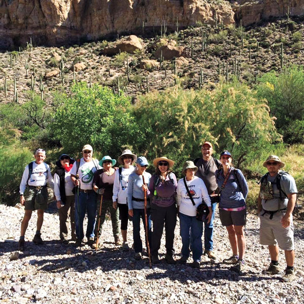
The trail system is open to non-motorized users daily from dawn to dusk, and guided hikes are offered at Superior’s annual eco-tourism festival held each February and occasionally throughout the year.
—Mare Czinar
If You Go
From Phoenix, head east on US 60 to the town of Superior. Refer to the map on the L.O.S.T. website for various access points.
Legends of Superior Trails: lostinsuperioraz.com
MAP: fs.usda.gov/Internet/FSE_DOCUMENTS/stelprdb5269665.pdf
NEXT MONTH:
From mountains that soar above 9,000 feet to gently meandering rivers and flood plains, the hiking trails around Sierra Vista offer endless variety and spectacular views.