words & photos by Mare Czinar
Arizona Sisters are hard to ignore. Adorned with distinctive white markings and orange wing tips, the eye-catching butterflies are familiar sights in oak woodlands.
Native to Central America and the American Southwest, Adelpha eulalia thrives in the forests and riparian canyons of Arizona’s Mogollon Rim.
Hikers can take a step into their habitat by seeking out quiet trails and backroads located between 4,000 and 8,000 feet in elevation – qualities which describe Forest Road 9361A perfectly. The dirt two-track departs from a who-knew trailhead 27 miles east of Camp Verde and leads into prime butterfly territory with a jaw-dropping payoff at the end.
A high-elevation meander in the midst of butterfly season? Sounds like a perfect late-spring/early-summer hike to us.
From the trailhead, FR 9361A heads through a barbed-wire gate and a concrete tunnel under SR 260. At the 0.3-mile point, the road is signed as FR 9361D, but maps show it as FR 9361A.

Either way, it goes to the same destination paralleling Sandrock Draw. The draw gradually widens, becoming a canyon that feeds into the Fossil Springs Wilderness.
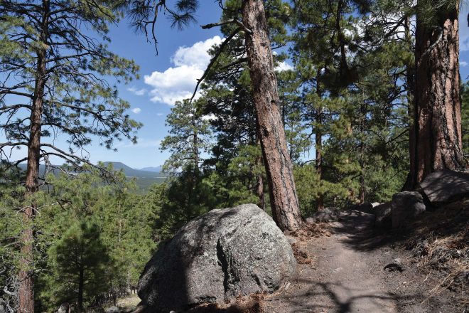
The rough road traces Sandrock Canyon, dipping and climbing through juniper meadows and ponderosa pines, with occasional mountain vistas peeking through dense tree cover. A major road fork at the 1.6-mile point is marked by a small water hole. The route to the left becomes FR 9361Q. To stay on FR 9361A, take the route on the right.
The final 0.8-mile leg of the hike passes through an enchanting green tunnel of Gambel oaks replete with Arizona Sisters activity. The lightly traveled dirt road narrows as it makes a moderate descent to its terminus at a nondescript circular campsite that belies the spectacle located just a few yards beyond.
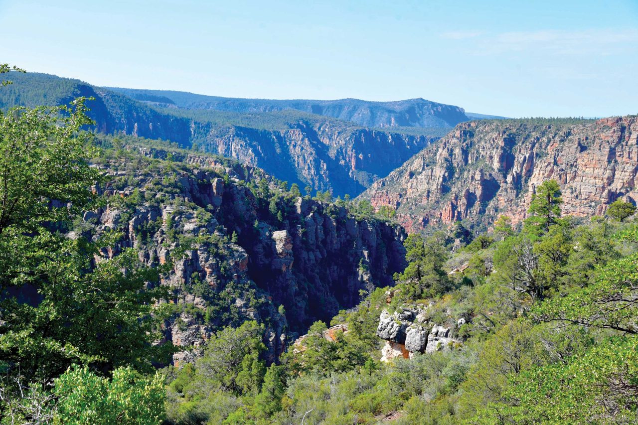
Faint game paths wind through a maze of agave, cacti and ancient alligator junipers, landing hikers at an overlook above Fossil Springs Wilderness. Sandstone ledges protrude over a gorge that plunges 1,000 feet to the wilderness floor that’s home to Fossil Creek, one of Arizona’s most popular water-centric recreation areas. The platform from above gives a seldom-seen overview of the scope and magnitude of the 11,550-acre wilderness below.
LENGTH: 4.8 miles round trip
RATING: Easy
ELEVATION: 6,375-6,149 feet
GETTING THERE: From Interstate 17 in Camp Verde, go 27 miles east (toward Payson) on State Route 260 to Forest Road 142
located past milepost 245 on the left.
Immediately past the cattle guard, turn left into a dirt parking area. A high-clearance vehicle is recommended. The parking area also serves as an access point for the General Crook Trail No. 130.
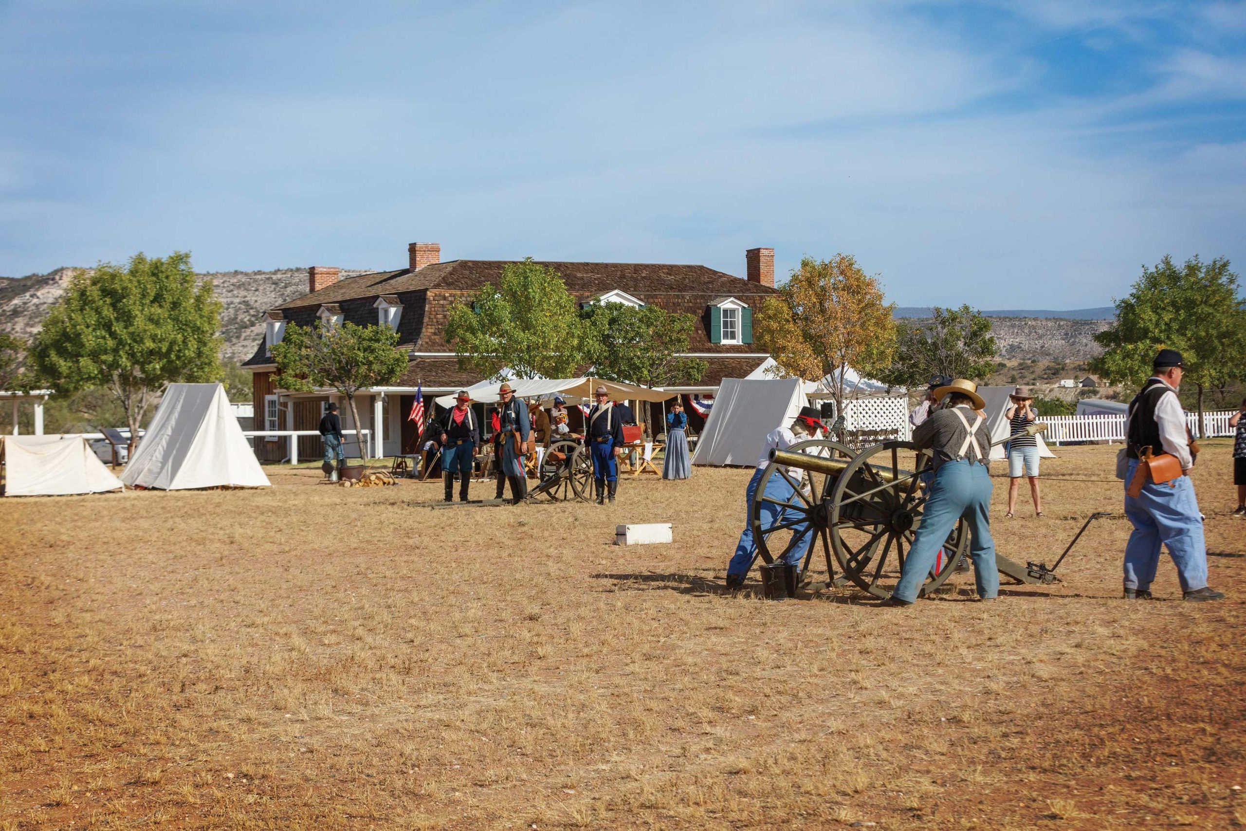
WHILE YOU’RE THERE
Learn more about the military history of this area at Fort Verde State Historic Park in nearby Camp Verde. Artifacts, costumed reenactments and exhibits provide glimpses into fronter Arizona. azstateparks.com/fort-verde