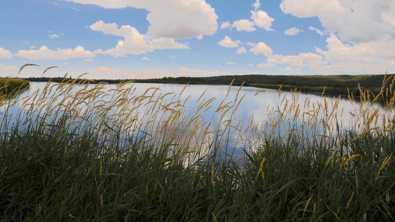
This 93-acre site is a complex of ponds, nesting islands and wet meadows that attract swarms of birds as well as elk, deer, coyotes, turkeys and bears.
This 93-acre site is a complex of ponds, nesting islands and wet meadows that attract swarms of birds as well as elk, deer, coyotes, turkeys and bears.
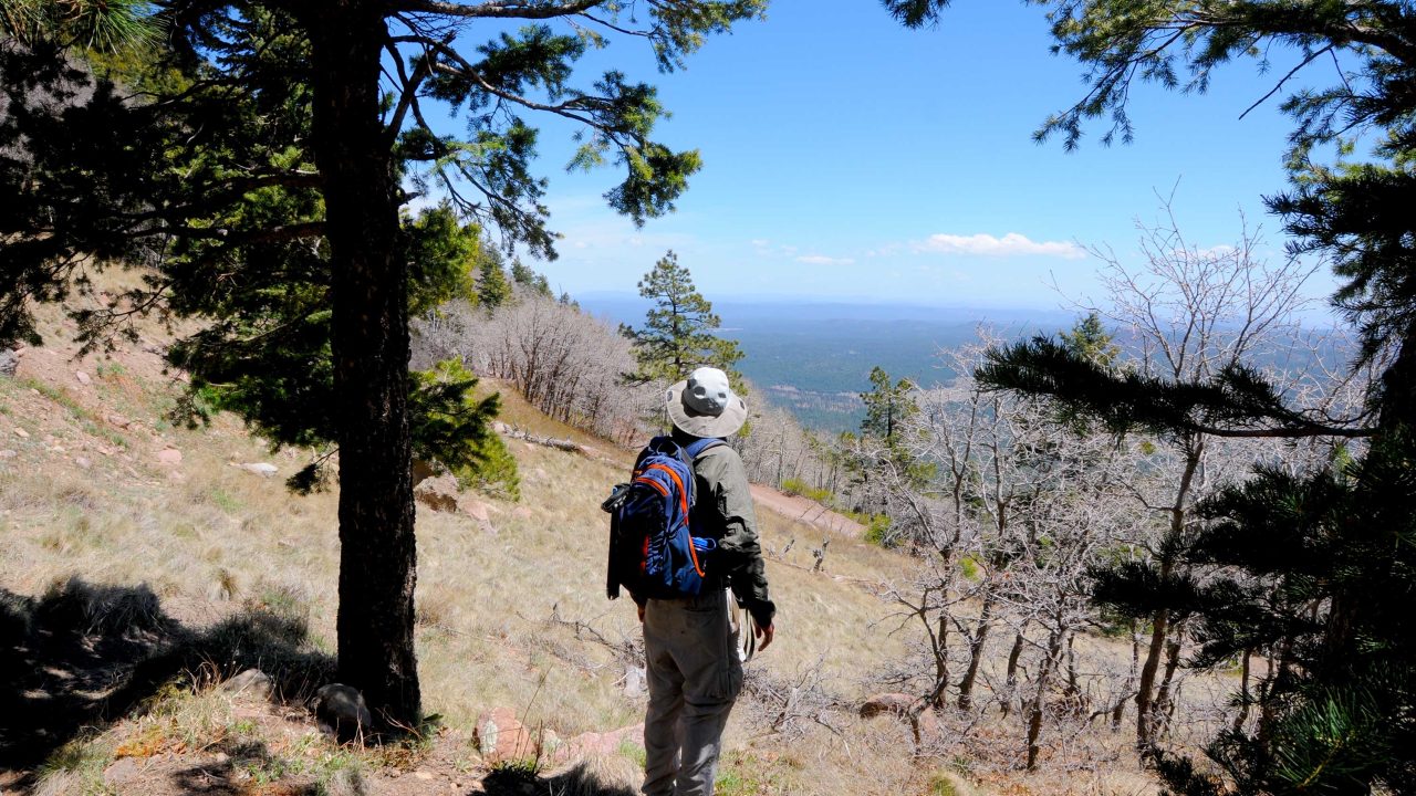
The mountain's lumpy appearance is the result of multiple volcanic events that caused lava to accumulate in irregular heaps.
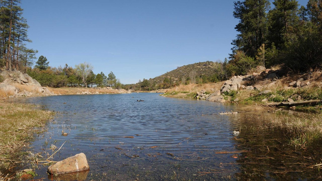
Massive canopies of Ponderosa pine, Alligator juniper and oak provide cooling shade as the route winds above the lakes and across the boulder-flanked ravine and crisp waters of Bannon Creek.
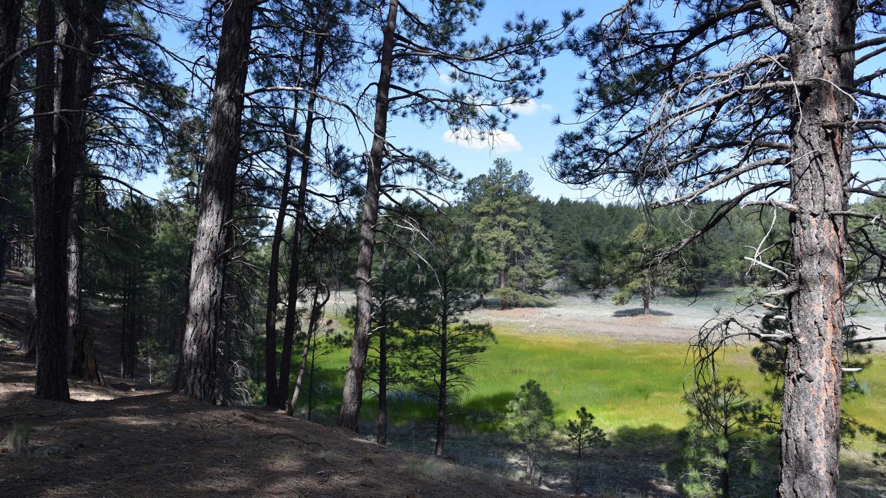
Situated in the far southwest corner of the San Francisco Volcanic Field--a swath of impressive igneous features that arcs from the northern Arizona town of Williams to Flagstaff-- Davenport Hill is an anthill among giants.
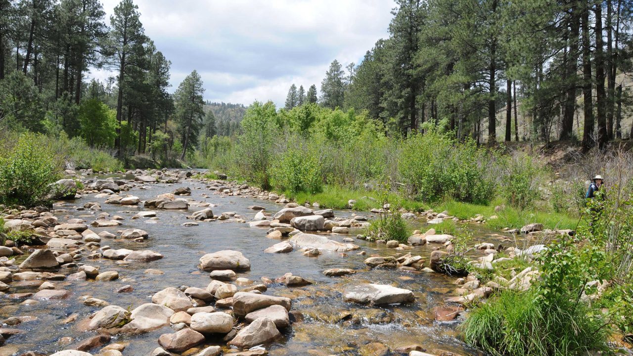
The 1.25-mile, cliff-hugging trail plunges 700 feet to reach the pristine waterway coveted by anglers and beloved by hikers seeking solitude in this otherwise congested area of the Mogollon Rim south of Chevelon Canyon Lake.
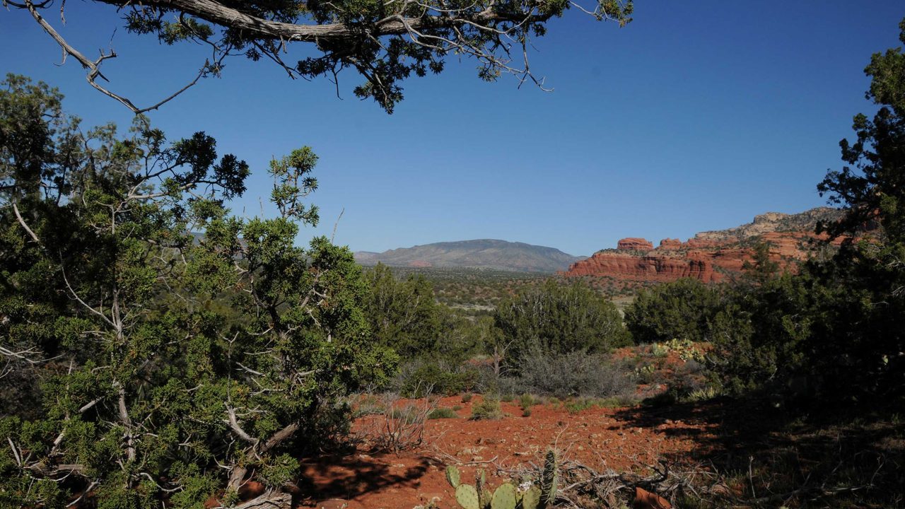
This new access point off Boynton Pass Road provides respite from the boot-clad masses and access to dozens of trails.
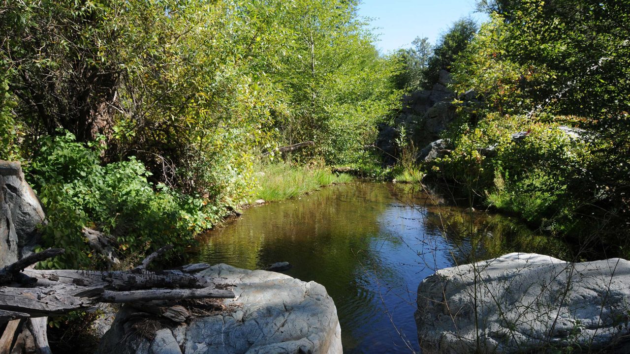
Located adjacent to the Lynx Lake recreation site a few miles south of downtown Prescott, the trails of the Highland Center for Natural History blend hiking with education.
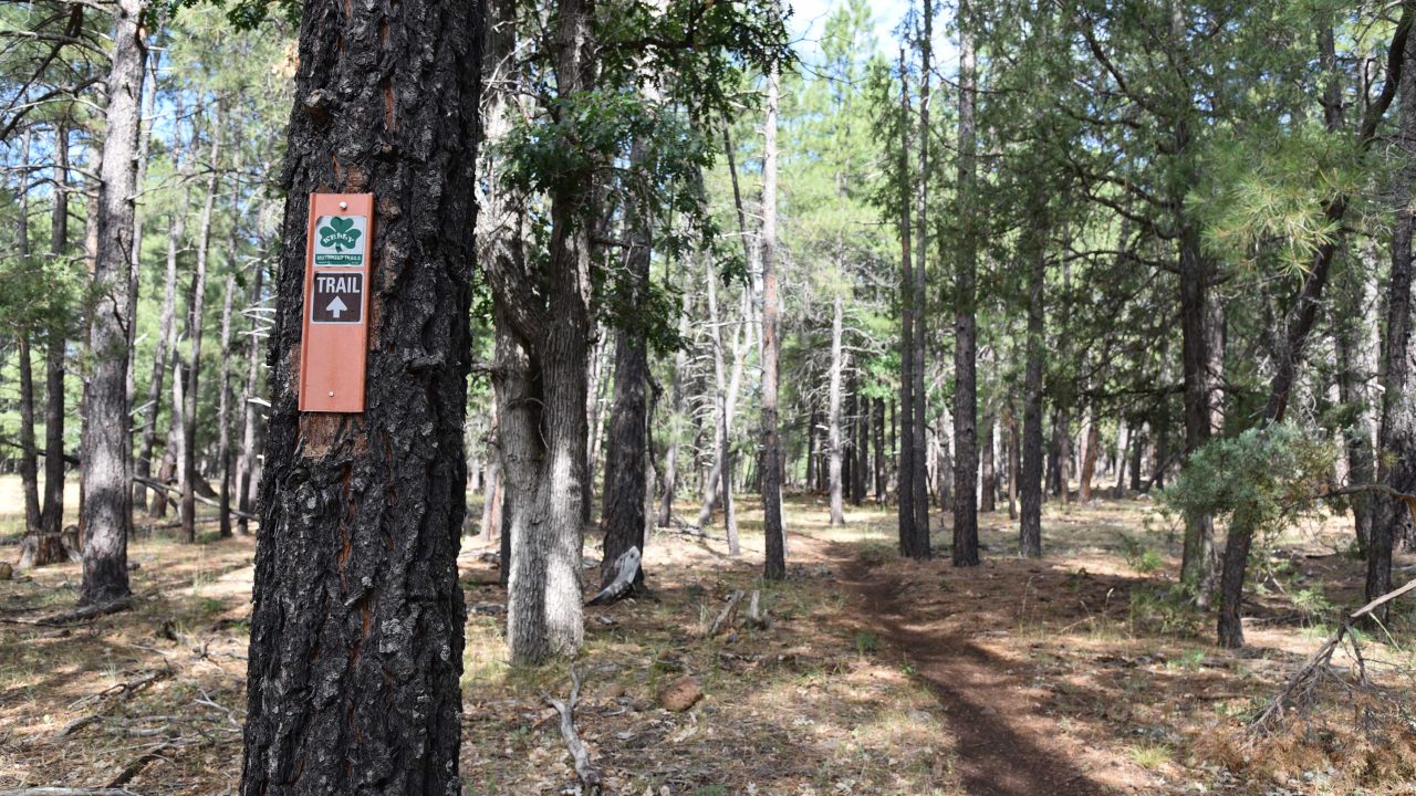
Just 20 miles south of Flagstaff, the who-knew routes of the Munds Park Trail System and the Kelly Motorized Trail System combine for over 100 miles of share-use paths in the forests between Interstate 17 and Mormon Lake.

Tucked into a ravine between industrial parks and subdivisions five miles downstream from Lynx Lake in Prescott Valley, Fain Lake offers a diverse menu of outdoor recreation opportunities.
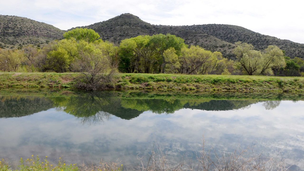
Cradled among desert hills, wineries and dewy green zones along Oak Creek, site has two formal trails that loop among the property’s rare and varied habitats.
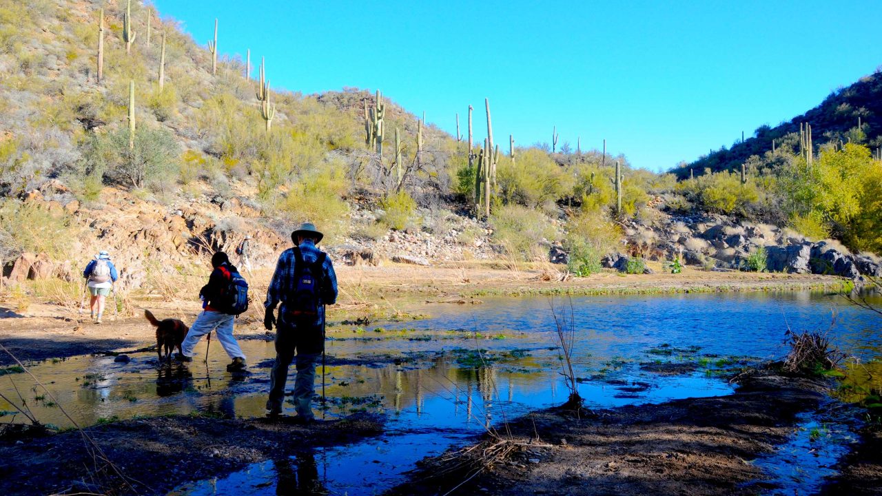
Running through the watery mid-section of the Black Canyon Trail, the K-Mine Segment appeals to those who enjoy rock hopping over creeks and drainages.
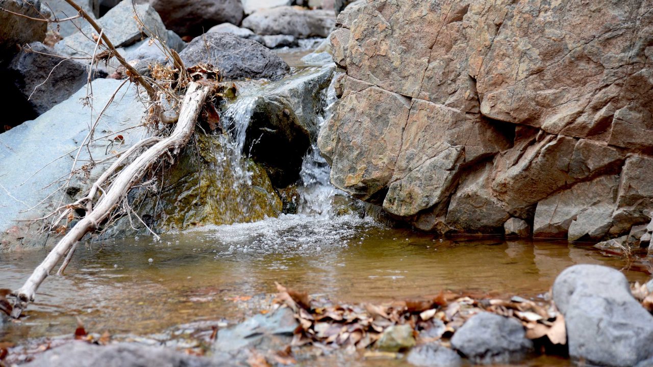
Chasing winter waterfalls is sort of an unofficial rite of passage for Arizona hikers.

Officially the closest Arizona Trail entry point to the Valley, the dirt pullout at Bushnell Tanks on State Route 87 half way between Fountain Hills and Payson, provides access to Arizona’s geological transition zone—a swath of mountain ranges and long valleys created over eons of volcanic activity, seismic uplifts and intermittent sea water deposits.

When hiked from the Jim Thompson trailhead that’s located just a short drive from Uptown Sedona, this heavenly trek that slices through forests at the southern edge of the Red Rock Secret Canyon Wilderness, gets you in-and-out of the good stuff pronto.

This isolated North Valley mound attracts a steady stream of hikers, bikers and dog walkers.
