Fancy a high-season hike? PHOENIX magazine hiking guru Mare Czinar has a weather-appropriate trail recommendation just for you.
NOVEMBER
Latigo-Sidewinder Loop
McDowell Sonoran Preserve, Scottsdale
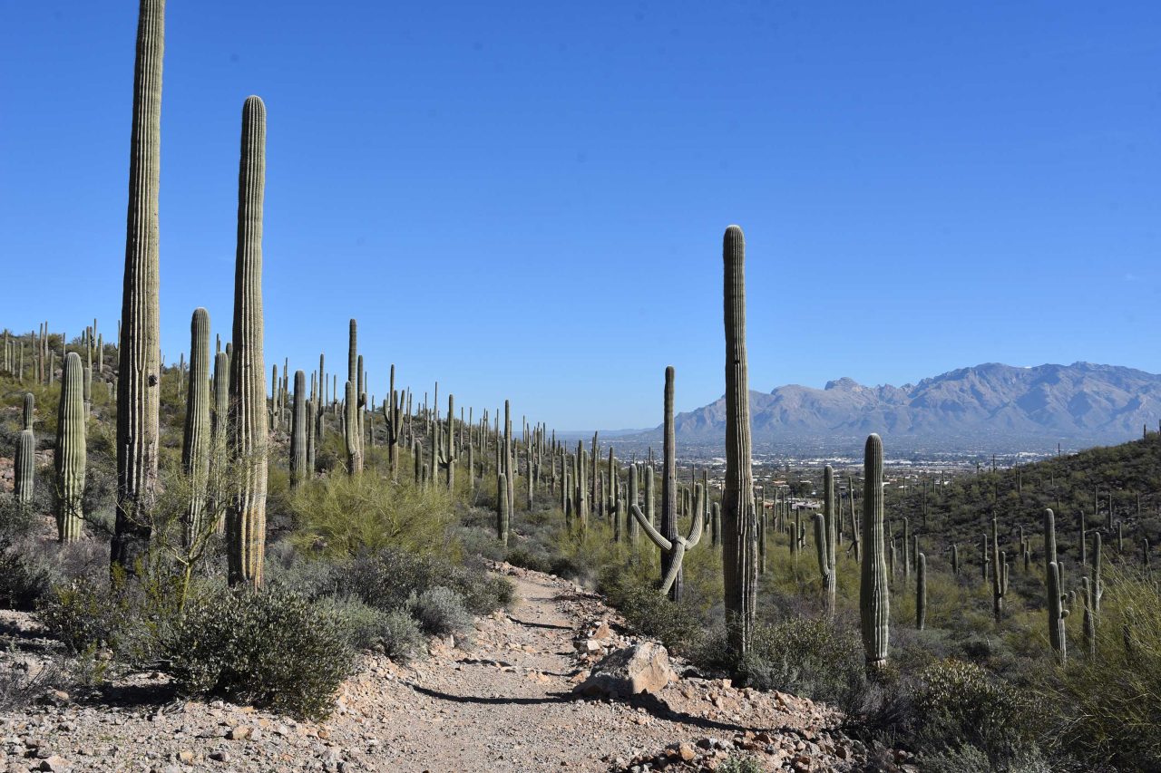
Immersion into the Sonoran Desert’s assorted levels of awesomeness is as easy as stepping off the pavement and into McDowell Sonoran Preserve, which has more than 200 miles of non-motorized trails. Approachable and enlightening, the Latigo-Sidewinder loop offers a quick trip that’s packed with botanical, geological and scenic wonders. It’s the perfect hike to do with those who may not be regular trekkers or acclimated to desert conditions. The tour begins at the Pima-Dynamite trailhead, where restrooms, shaded seating areas and interpretive signs add welcoming amenities as well as a sense of anticipation. 28777 N. Pima Rd., Scottsdale, mcdowellsonoran.org
- LENGTH: 2.7-mile loop
- ELEVATION: 2,339-2,450 feet
DECEMBER
Dawa Loops
Coconino National Forest, Sedona
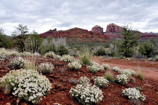
Offering quieter, less congested tours of Sedona’s spectacular scenery, the trails that explore the woody terrain around Dry Creek serve up myriad high-desert hike options. This circuit uses the Cockscomb, Dawa, OK and Arizona Cypress trails for an interesting lollipop loop, which ultimately unpacks views of Courthouse Butte, Capitol Butte and Chimney Rock. It starts at Fay Canyon trailhead, located 2 miles north of 89A in West Sedona. fs.usda.gov/recarea/coconino/recarea
- LENGTH: 4.2-mile loop
- ELEVATION: 4,334-4,569 feet
JANUARY
PERALTA REGIONAL PARK
Pinal County, Near Gold Canyon
Occupying a natural pocket of upper Sonoran Desert at the edge of the Superstition Mountains and Tonto National Forest, this site is a unique outdoor recreation hub that straddles the gap between an amenity-rich park and bare-bones backcountry experience. Using Peralta Trailhead as a jumping-off point, the park features 9 miles of non-motorized trails and a quarter-mile, barrier-free interpretive walking path. Except for the Desperado and North Star trails, which have some difficult sections, park trails are rated moderate and link up nicely for creating loop options. 17975 E. Peralta Rd., Gold Canyon, pinal.gov/1204/peralta-regional-park
- LENGTH: 9 miles of trails
- ELEVATION: 2,040-2,505 feet
FEBRUARY
PAINTED HILLS TRAILS PARK
Tucson Mountain Park, Tucson
Mini but mighty, Painted Hills Trails Park is a 289-acre slice of desert beauty located in the far northeast corner of Tucson Mountain Park, just west of Interstate 10, with seven interconnected trails that include two short mountain summit up-and-back trips. One of them is Bactrian Summit trail, a “false summit” hike that includes a brief downhill dip followed by a final climb to the top. As the highest point in the park, it treats hikers to exalting views of Rincon Mountain in the southeast and the Tortolita Mountains to the north. Start your journey at Anklam Road Trailhead. 3590 W. Anklam Rd., Tucson, pima.gov/1287/painted-hills-trails-park
- LENGTH: 4 miles of trails
- ELEVATION: 2,508-2,770 feet
MARCH
PALOMA REGIONAL PRESERVE
City of Peoria
An island of natural outdoor space in the West Valley, Paloma offers a flat block of open space with 12-plus miles of trails. Access to the preserve begins at a gate near the dog park, where Multi-Use Path A heads east away from the barking commotion. While each trail offers excellent hiking, the not-to-miss route on the menu is the Compass Rose Trail. The 1.42-mile, moderate-rated path ascends a knoll overlooking the New River Dam for sweet views of the river’s course through the landscape. 29799 N. Lake Pleasant Pkwy., Peoria, peoriaaz.gov
- LENGTH: 12-plus miles of trails
- ELEVATION: 1,369-1,550 feet
APRIL
LAGOON LOOP
Dead Horse Ranch State Park, Cottonwood
Wildlife watching in this high-desert sancturary is a hit-or-miss prospect. It’s a definite maybe for a river otter sighting, odds are good to spot a great blue heron and certainly a red-winged blackbird, and observant watchers might spy a fast-moving California kingsnake. Situated on the north banks of a tree-lined bend of the Verde River, Dead Horse offers more than 20 miles of hiking trails, including this easy, cottonwood-shaded loop around the park’s lagoons that offers a quick escape from spring and summer heat. Stronger legs may prefer the 15.8-mile Lime Kiln Trail. 675 Dead Horse Ranch Rd., Cottonwood, azstateparks.com/dead-horse
- LENGTH: 1.9-mile loop
- ELEVATION: 3,300 feet