Arizona hiking already has enough challenges – heat, lack of water, cacti, critters, crowds – to foil many without strong constitutions. Now try adding a layer of red tape. While most of the best hikes in the state are on BLM or Forest Service land, requiring nothing but shoes and a smile to get in, a few really extraordinary journeys lay tucked behind the gates of bureaucracy. A good hiker should know how to climb over obstacles. Here’s an insider’s guide to five of them.
By Tom Zoellner
Original Photography by Dennis Cooper, Jim David, Paul Gill & Kerrick James
Betatakin & Keet Seel
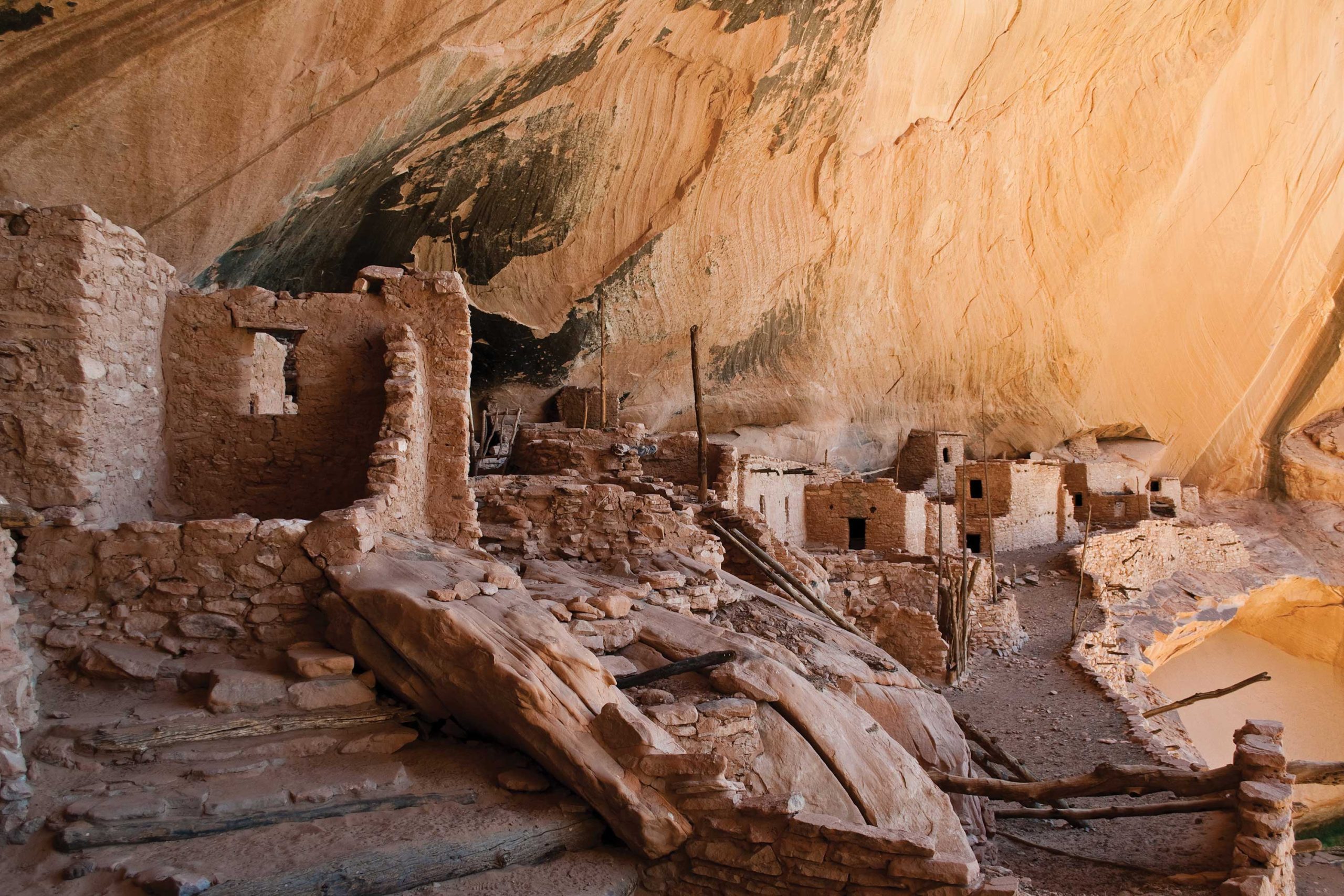
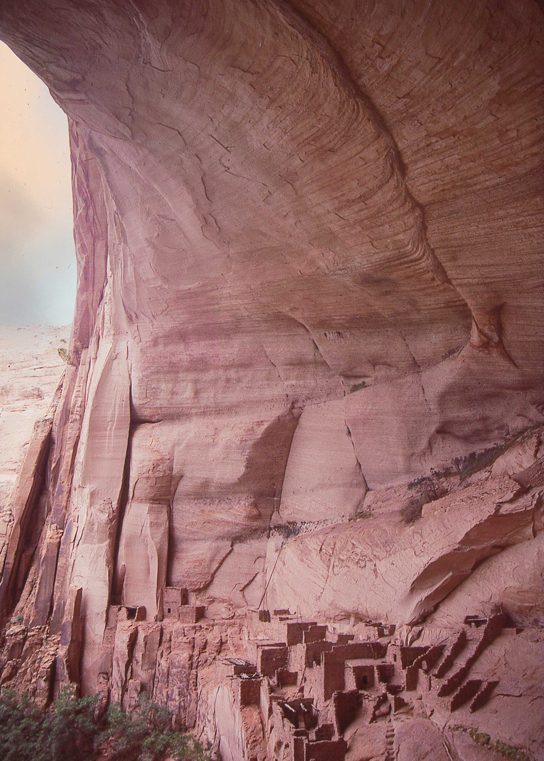
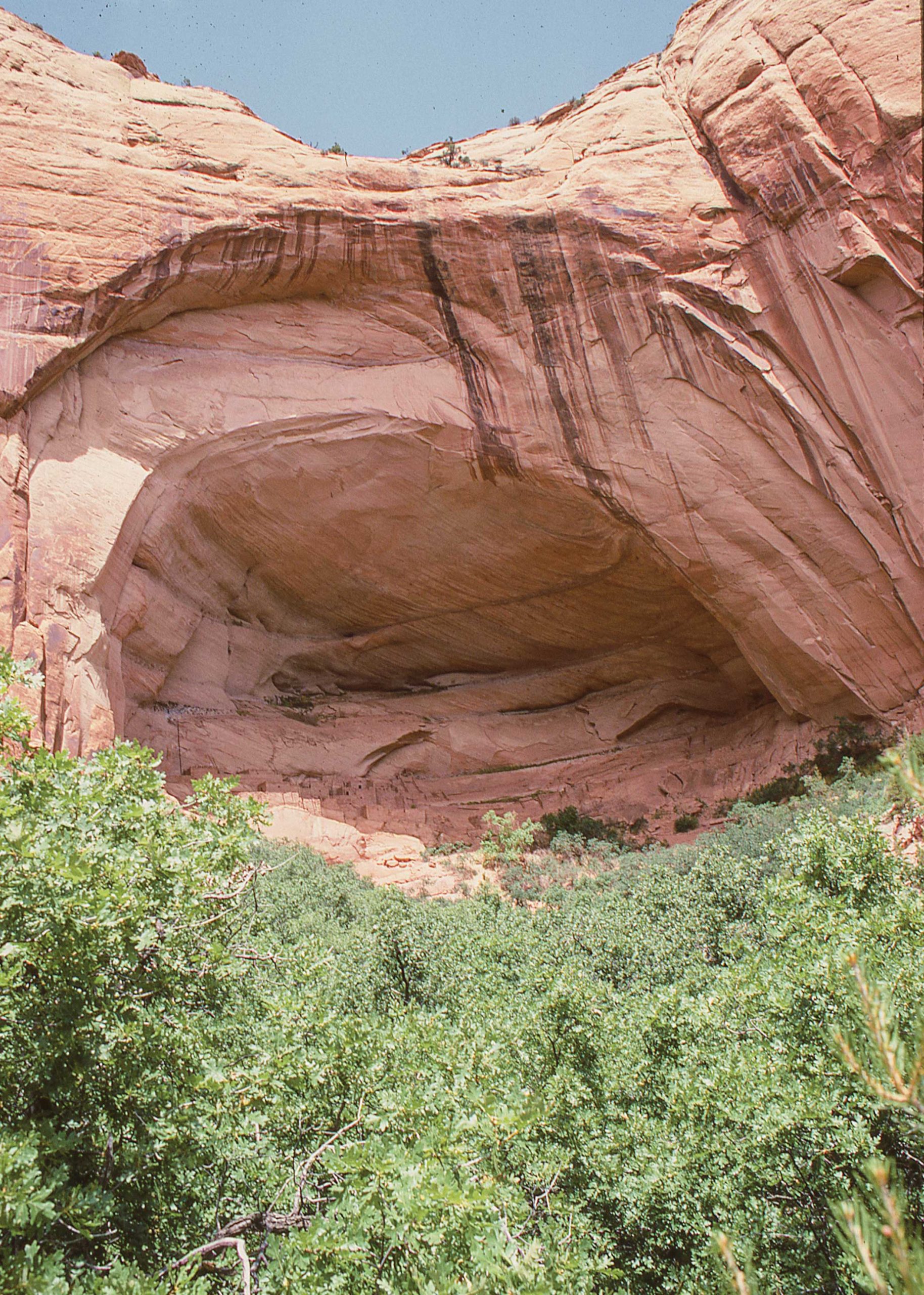
Betatakin is the shorter of these Twin hikes in Navajo Nation, but it’ll give your lungs and legs a good workout. You descend a switchback loop of stairs 600 feet into Betatakin Canyon, which is spectacular enough with classic Navajo sandstone and sweet-smelling juniper even without the cliff dwellings that are the real star of the show. When seen from the base, the set of apartments built into a massive sandstone alcove looks like a cubist painting. The name means “house built on a ledge” in Diné. The Ancestral Pueblo architects were geniuses when it came to efficient use of space and landscape, squeezing 120 separate rooms into the overhang before the complex was abandoned shortly after 1275 CE. Falling rocks and weather have since destroyed about 40 of them. What remains is still magnificent.
You should consider Betatakin but a warm-up for Keet Seel, which requires advance reservations, a backcountry permit, an orientation session, inclusion in a guide-led group and an overnight stay. You can book as far out as a week in advance by calling the visitor’s center or signing up online. Once you jump through those hoops, plus walk eight miles through federal and tribal land, not to mention multiple times across the foot-sucking quicksand of Tsegi Creek, you’ll be treated to an astonishing sight: one of the best-preserved dwelling places of the 14th century anywhere on the planet. Here you can ascend ladders and walk through some of the rooms, while under the watchful eye of the guide, and inspect the artifacts that gave the place its name (kits-iil is Diné for “broken pottery shards lying around”). As a bonus, the walk here through juniper includes a ridge overlook of the Betatakin ruins.
This is typically done as an overnighter because of the length, which presents another wrinkle: Some trekkers have reported an abundance of horse excrement at the campground, though this seems to vary depending on seasonal conditions. “This is definitely one of the tougher hikes I’ve done,” says experienced Arizona walker Tres Henderson, who has journeyed all over the state and leads a Facebook group. “But it’s just spectacular.”
The Hassle:
The National Parks Service requires you to sign up in person at the visitor’s center at Navajo National Monument. Want to hike alone? Tough cookies. It will be a large group hike, and guided. Mornings only. Closed from October to April.
Hike Length:
2.6 miles round trip for Betatakin; 17 miles round trip for Keet Seel
Getting There:
Three hours northeast of Flagstaff. Take U.S. 89 N to U.S. 160 E to State Highway 564 N into Navajo National Monument.
More Info nps.gov/nava/planyourvisit/guidedtours.htm
Mystery Valley
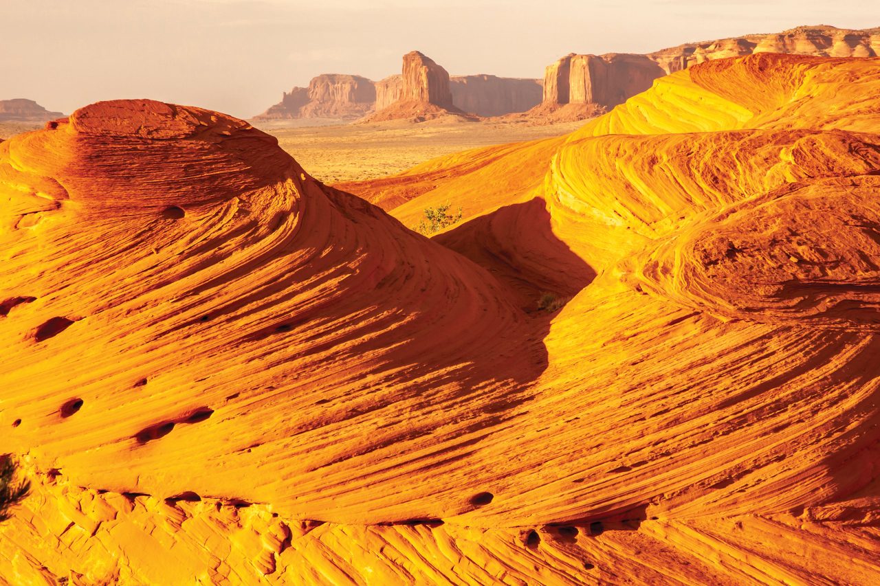
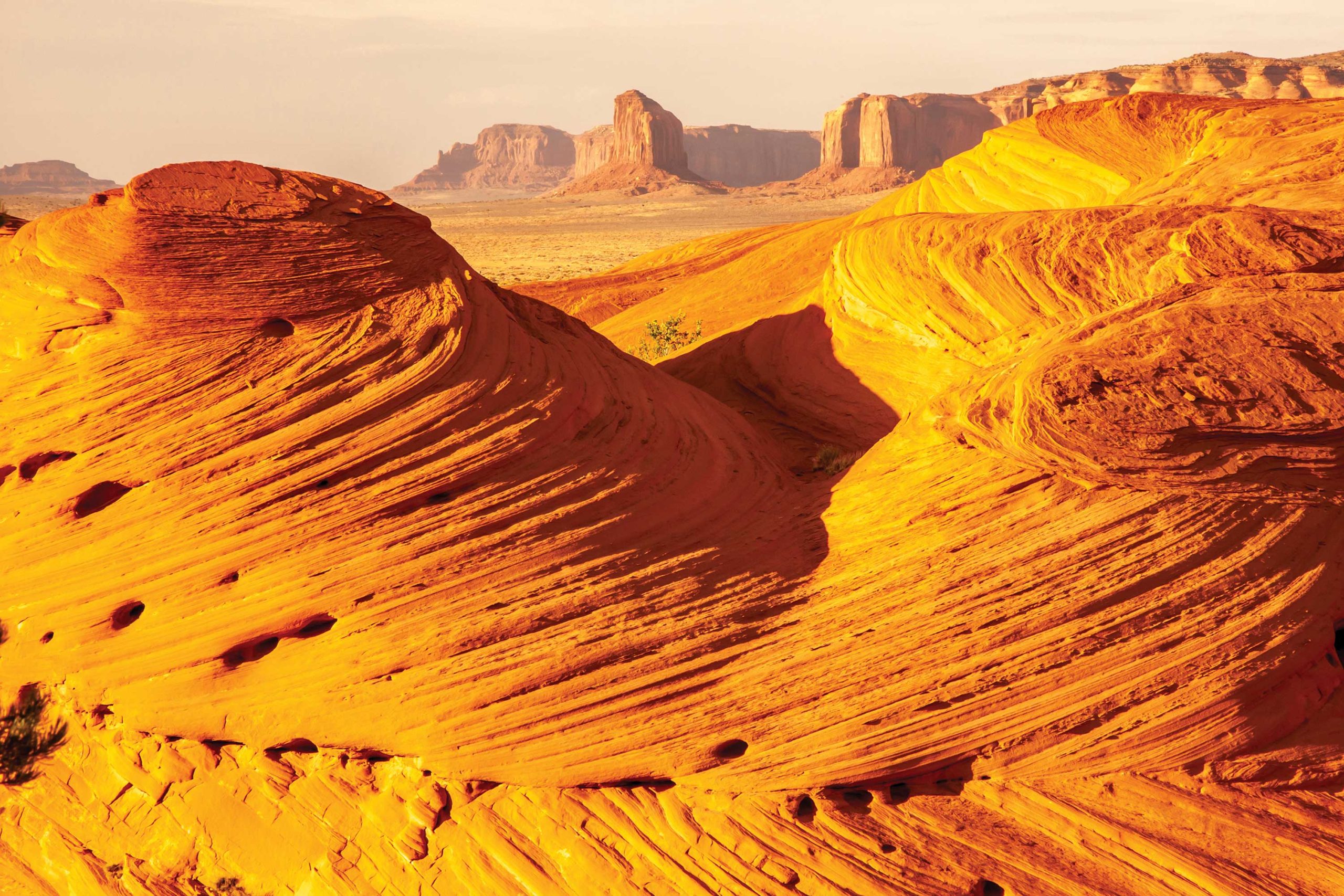
Despite the cheesy name that would be right at home on a carnival midway, this walk through a remote sandstone badlands near Monument Valley is an excellent package of some of the best sights available in far northern Arizona. Because of the monopoly on it by private tour companies and the inescapable reality of the chaperone, it’s not particularly well-known among veteran hikers. So you might end up being the only one in your group chat who can claim to have been there. While the stops on the tour are outside the boundaries of Monument Valley Navajo Tribal Park, they sit on reservation lands and are therefore governed by tribal restrictions on access.
Most of the tours start with a camera-friendly panorama of Monument Valley formations from a platform called Pancake Rocks. Then you’re taken to a view of Square House Ruins, another elevated set of apartments built by the Ancestral Pueblo inside a sandstone alcove. Your guide knows where to find the petroglyphs of sheep, hunters, lizards and all kinds of other figurations whose meaning remains, yes, a mystery to modern observers. Further down the trail, the House of Many Hands is a ruin with multiple handprints made 700 years ago by people who dipped their palms and fingers in a white staining material. The effect is as impressive as it is eerie.
The climax of the tour is at a giant formation called Honeymoon Arch, as imposing a sandstone crescent as any that you’ll see in Southern Utah. The hiking you’ll do around these sites will be at the discretion of the guide.
The Hassle:
You have to pay a tour company anywhere from $90 to $150 to take you in, and there’s an add-on fee for an extended hike that brings the price up to $250, adjusted by conditions and staffing availability.
Hike Length:
Varies between 2 to 6 miles, depending on your mood and that of your guide.
Getting There:
On the Utah border 168 miles northeast of Flagstaff. Take U.S. 89 N to U.S. 160 N to Kayenta. Then turn north on U.S. 163 for the crazy photogenic drive through Monument Valley. Note: Most tours companies will pick you up at Goulding’s Lodge in Monument Valley.
More Info: emonumentvalley.com/tours/hiking-mystery-valley
Cibecue Falls
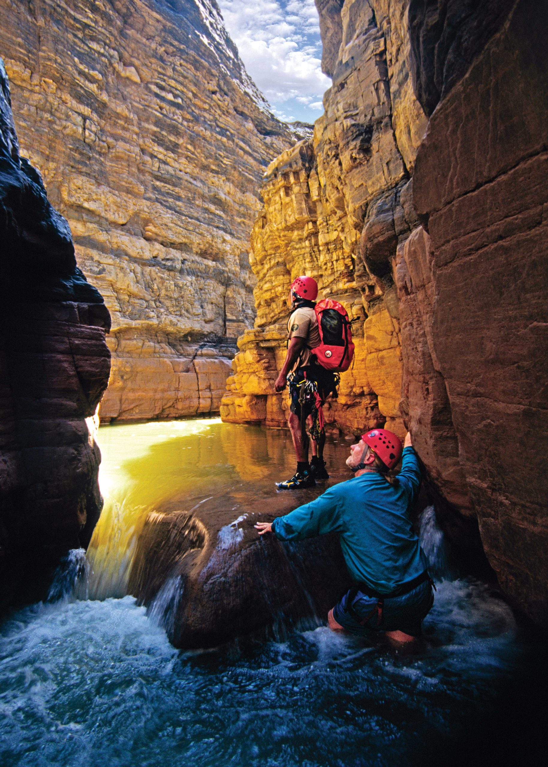
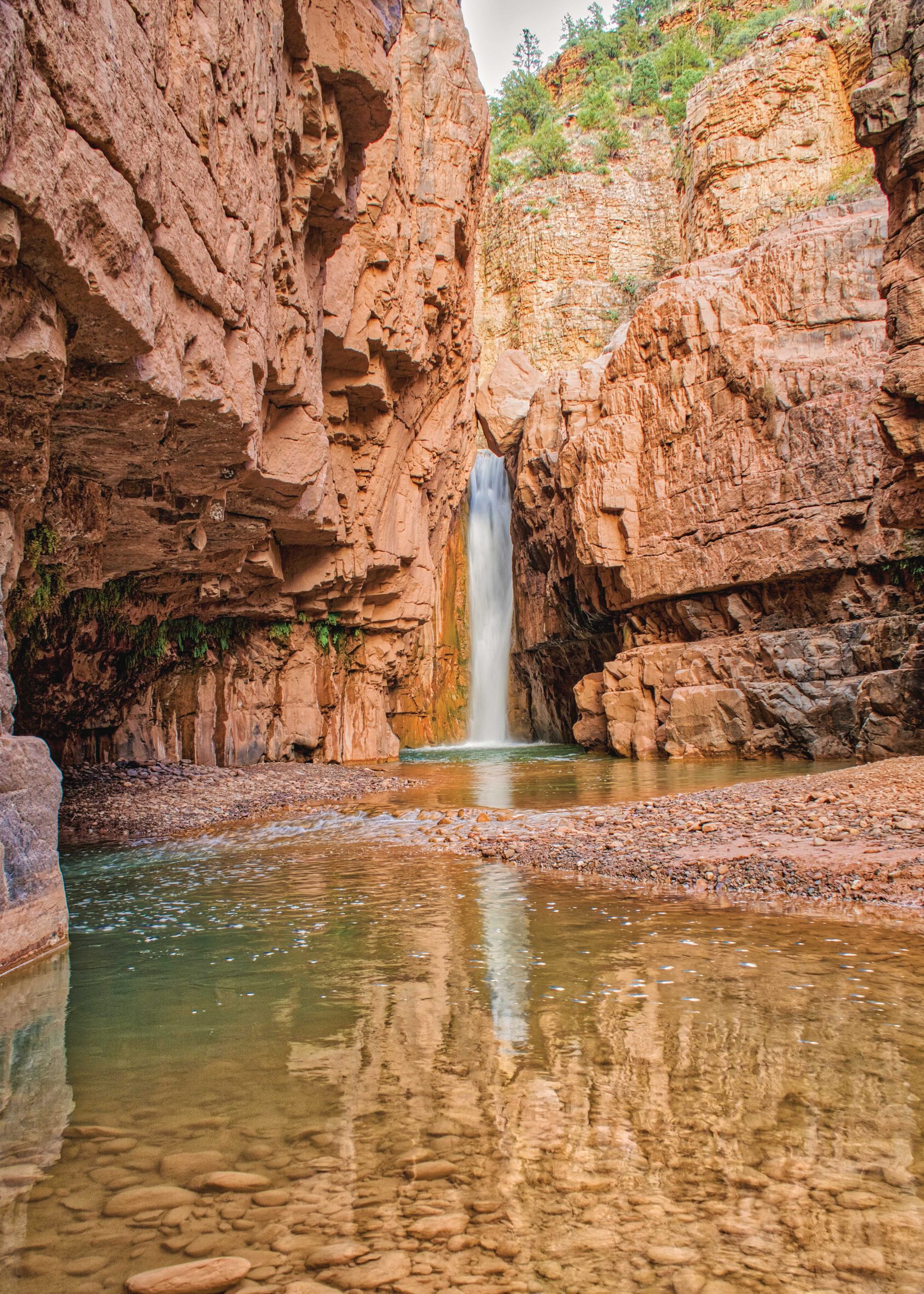
The first thing you’ll see at Cibecue Creek Trailhead is a list of “thou shalt nots” that include camping, littering and going in without a permit. There’s nothing particularly challenging about the hike except for the multiple creek crossings, so river shoes are a must. The 1.5-mile meander that follows is pleasant enough, leading you through a narrow canyon, but the real payoff comes at the falls themselves: a dazzling spill of emerald water tucked into a narrow slot. Swimming is technically prohibited in all waters on the Apache reservation, but the rule is sometimes flouted here.
Upstream from the swimming hole, and off the hike, is the Apache village of Cibecue, set in an irrigated plain below the Mogollon Rim at the termination of a dead-end road. You’re just as likely to hear Apache spoken here as English in one of Arizona’s truly isolated towns, and one with a few legends attached. The 2001 Rodeo-Chediski Fire, the biggest in state history, was set nearby. And in 1881, the U.S. Cavalry tried to take a spirit healer named Nock-ay-det-klinne into custody with disastrous results. Their own Apache scouts mutinied, resulting in 18 dead and a populist movement under the breakaway leader Geronimo.
The Hassle:
You’ll need a $45 access permit, good for only one day; best place to get it is the Carrizo Service Station at the intersection of U.S. 60 and Highway 73. That, and it’s possibly haunted.
Hike Length:
3 miles round trip
Getting There: 132 miles east of Phoenix. Take U.S. 60 E through Salt River Canyon and turn left on the aptly named Primitive Road; you’ll bounce down 4 miles of rough dirt with precipitous drop-offs before arriving at the Cibecue Creek Trailhead.
More Info wmatoutdoor.org
Charlie Bell Pass
Arizona backcountry hikers are used to watching the ground to avoid stepping on rattlesnakes or various other venomous critters. Unexploded cluster bombs and artillery projectiles, not so much. Part of the reason Cabeza Prieta National Wildlife Refuge is so gorgeously wild and undisturbed is because it sits within the Barry M. Goldwater Air Force Range, a training area for air-to-ground bombing exercises run out of nearby military installations. Our freedom birds have been blasting holes in this Connecticut-sized piece of desert since the start of World War II.
While the controlled mayhem of today’s training missions is confined to a tiny percentage of the range where access is strictly forbidden, the leftovers from yesteryear – including incendiary munitions identical to those that would devastate the German city of Dresden in World War II – still lay scattered in various places. A mandatory seven-minute video makes it clear you’ll be fine if you stay within established corridors and don’t pick up or get near anything that looks like it was shot out of a cannon or dropped from a bomb bay.
That’s not the only enhancement to your experience. You’ll also see signs with legends like: “Illegal entry and drug smuggling are common within the refuge. Be aware of your surroundings. Do not travel alone or approach suspicious people or activities.”
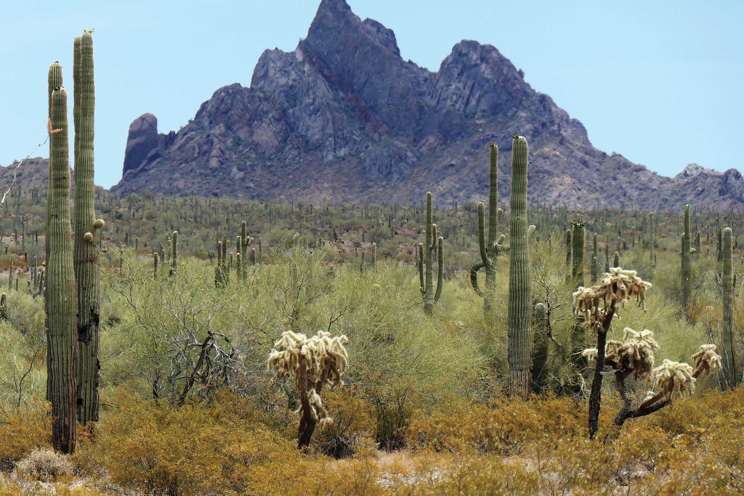
Once you steel your nerves and prepare for extreme heat and isolation, you’re in for some truly dazzling hiking on primitive trails. A standout is Charlie Bell Pass in the Growler Mountains, which leads you down to a natural seep where the water flow is enhanced with a solar pump. The Tohono O’odham have been using this place as a watering camp for hundreds of years, leaving evidence in the form of nearly 2,700 petroglyphs in the vicinity.
The Hassle:
Since the trail is located on a former missile-testing range, the government requires you to watch a pre-hike video about unexploded ordnance, followed by a quiz to make sure you were paying attention. You also must obtain a permit, renewable each year, via Marine Air Corps Station Yuma at bmgr.recaccess.com, and sign a waiver agreeing not to sue the federal government if you lose a limb.
Hike Length:
3 miles round trip
Getting There:
151 miles west of Tucson. Take Ajo Way/AZ-86 east out of the Old Pueblo roughly 130 miles to the town of Why; take AZ-85 northwest from Why, pass through the town of Ajo and find the Cabeza Prieta Visitors Center at 1611 N. Second Avenue.
More Info: fws.gov/refuge/cabeza-prieta/visit-us/activities/hiking
Aravaipa Canyon
Often described as Arizona’s most beautiful rift south of the Mogollon Rim, Aravaipa Canyon is also a place you can’t just walk into without clearing some formalities. The necessary permit is available through recreation.gov, but they can be hard to come by during peak season in the spring and fall, even on weekdays. Zach White, a data analytics engineer from Tempe, got his only after refreshing the tab each morning for weeks to check for cancellations.
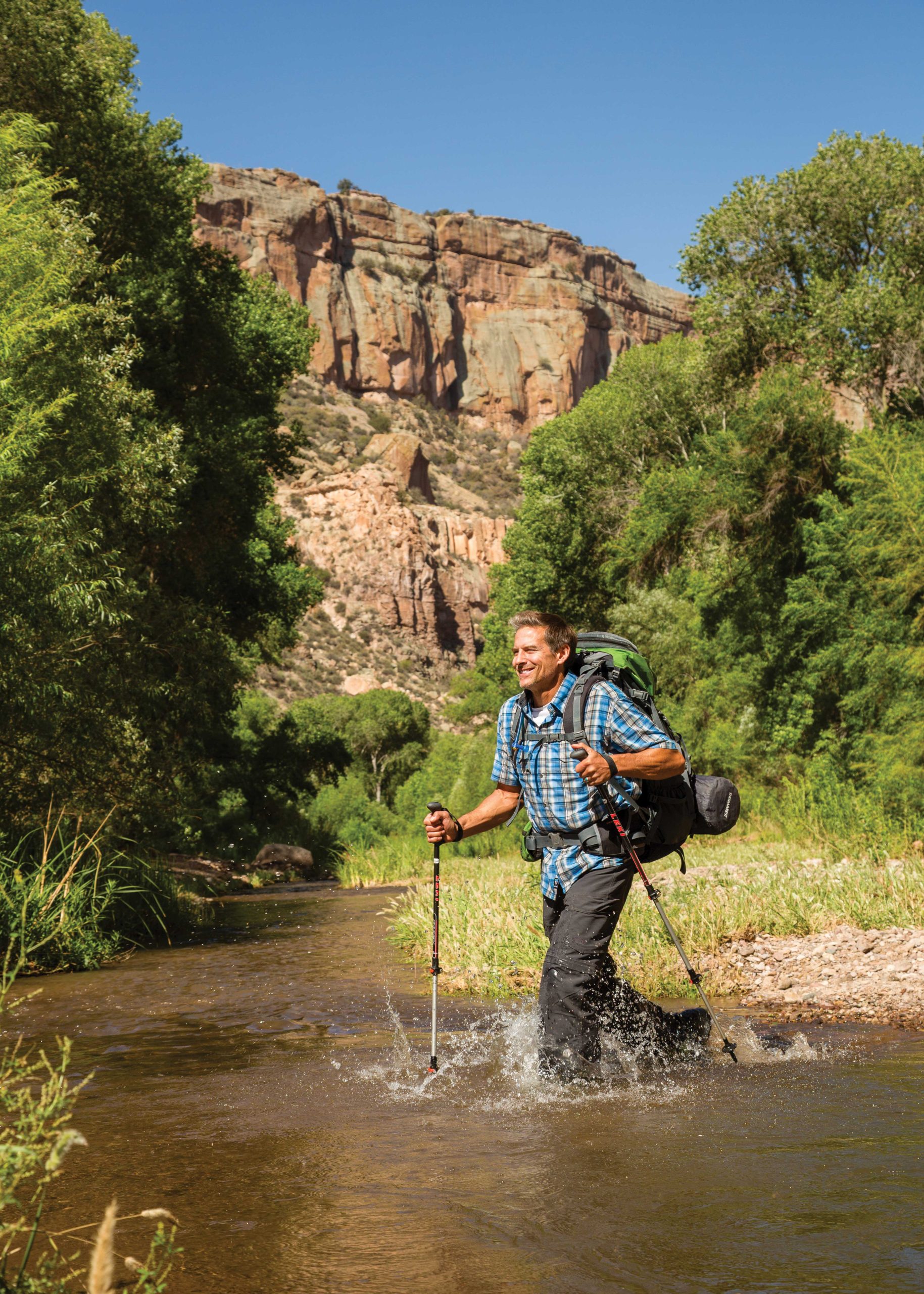
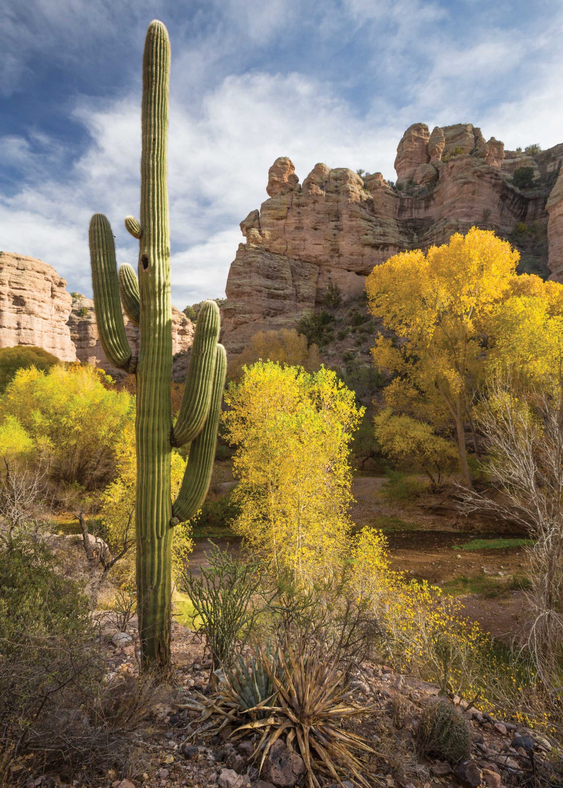
Once you’re inside the canyon, he says, a wonderland of tributaries open up, including remote riparian hideaways like Hell’s Half-Acre, Turkey Creek and Deer Creek. The hiking is mainly flat through a narrow cottonwood corridor, but bring water shoes for the creek crossings.
The best way to hike Aravaipa is start at the west end and arrange a shuttle pickup at the east end. If you do an overnight, White says, be prepared for near perfect darkness because of the high canyon walls.
Somewhere in there, at an unmarked spot, you’ll pass by the wide floodplain where, on April 30, 1871, a combined party of Anglo, Hispanic and Tohono O’odham from Tucson calling themselves “the Committee of Public Safety” mounted a surprise attack on an encampment of Apache who had surrendered to the U.S. Army. The Camp Grant Massacre remains a source of historic shame and pain and is part of the reason why Aravaipa Canyon should be treated with respect. Sometimes the hassle has its merits.
The Hassle:
Stingy permitting plus you’ll need a high clearance vehicle to access the east side.
Hike Length:
11 miles end to end
Getting There:
111 miles southeast of Phoenix. To get to the west entrance, take U.S. 60 E to Superior and turn south on State Highway 177. Turn south onto State Highway 77 at Winkelman, go 10 miles south past the Apache Sky Casino and turn east onto Aravaipa Road. The trailhead is at the end of this 12-mile road.
More Info
blm.gov/visit/aravaipa-canyon-wilderness