Apache-Sitgreaves National Forest, near Springerville
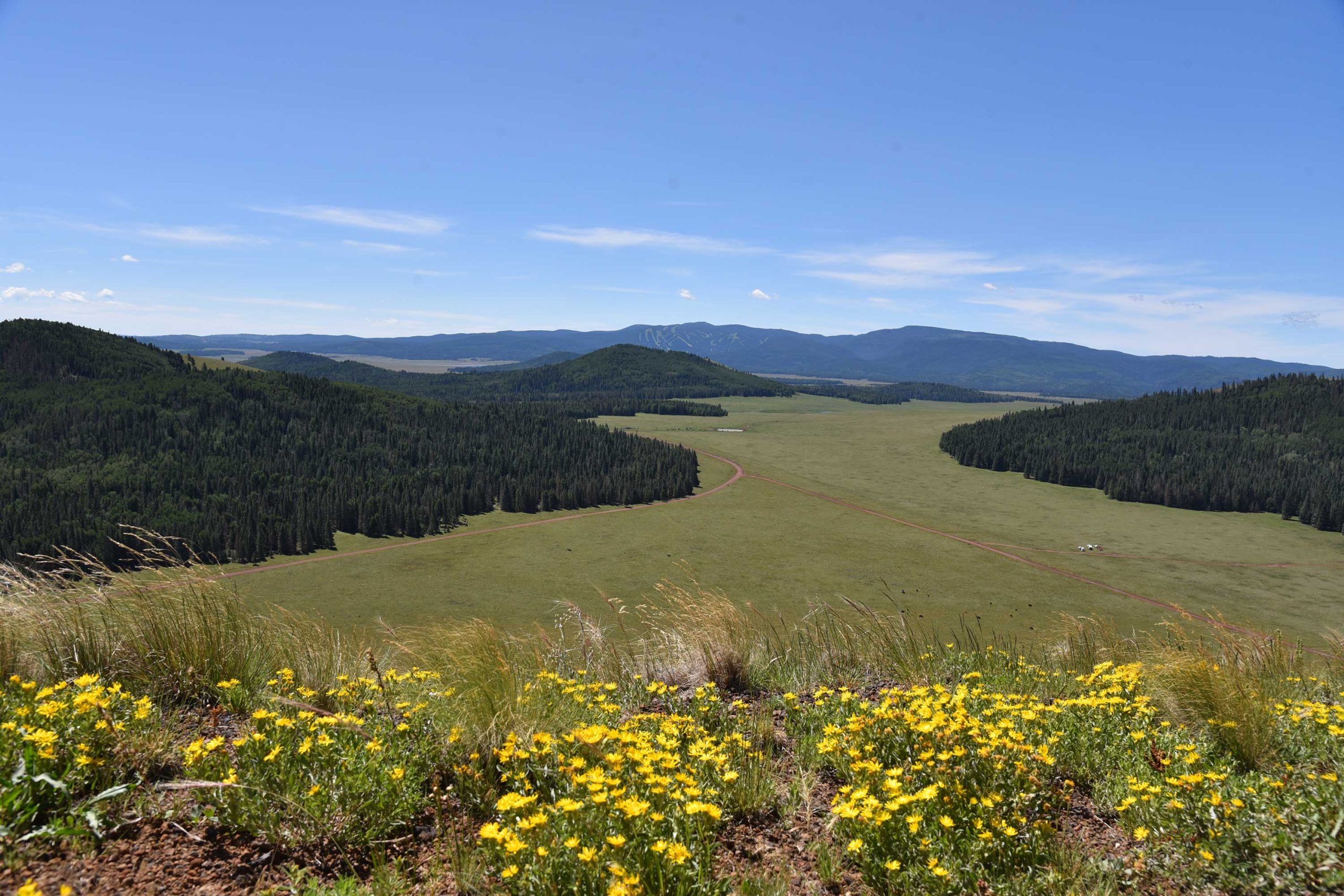
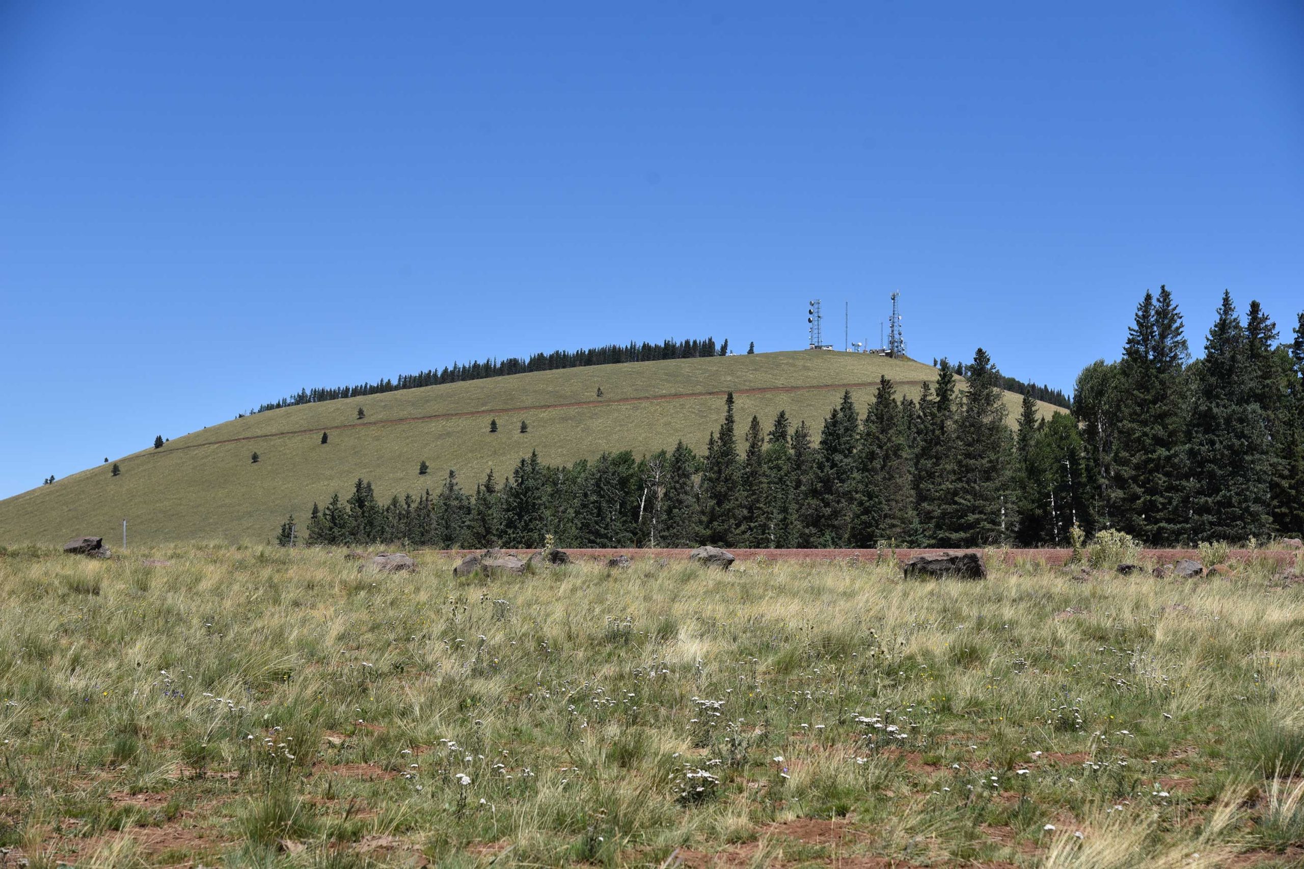
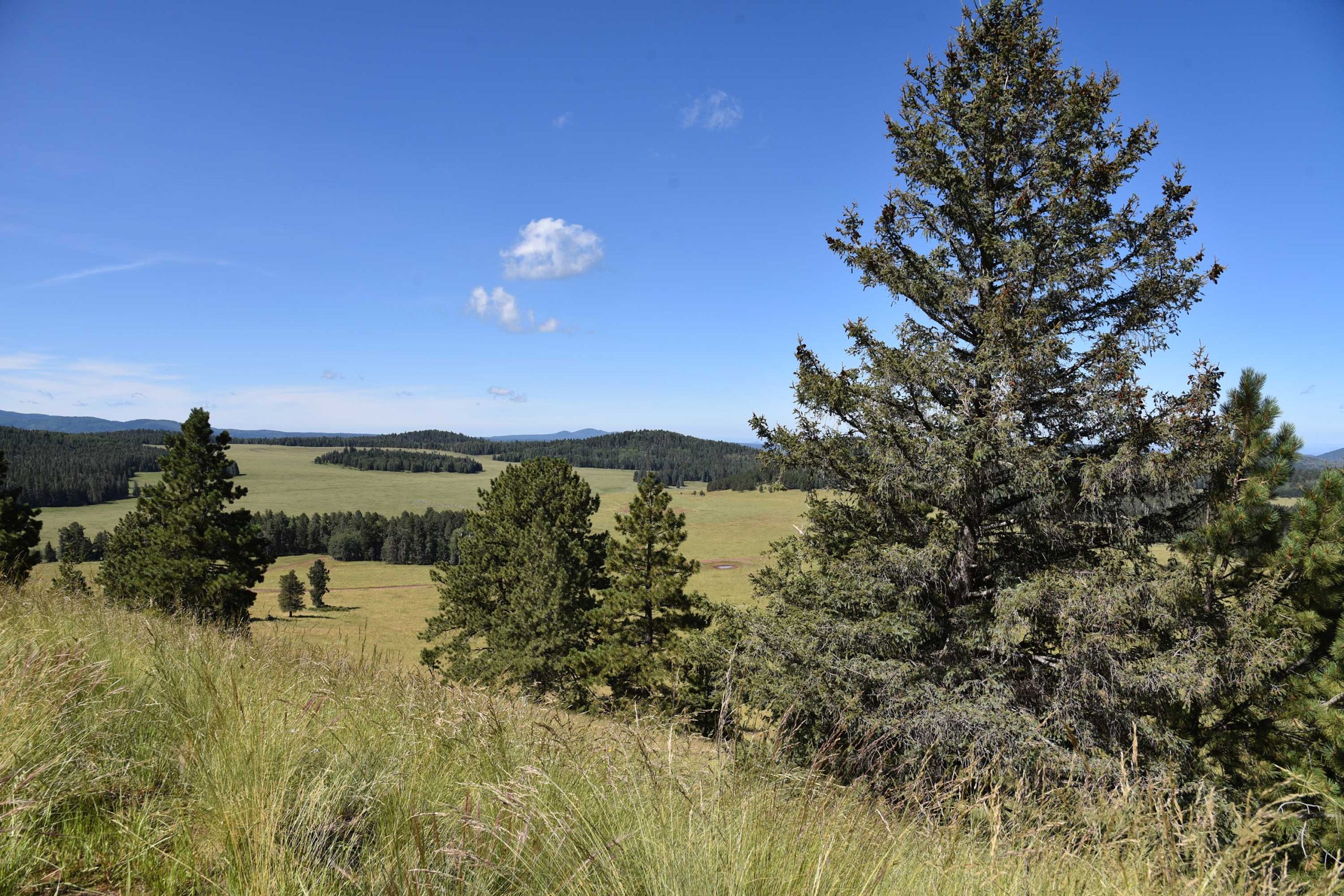
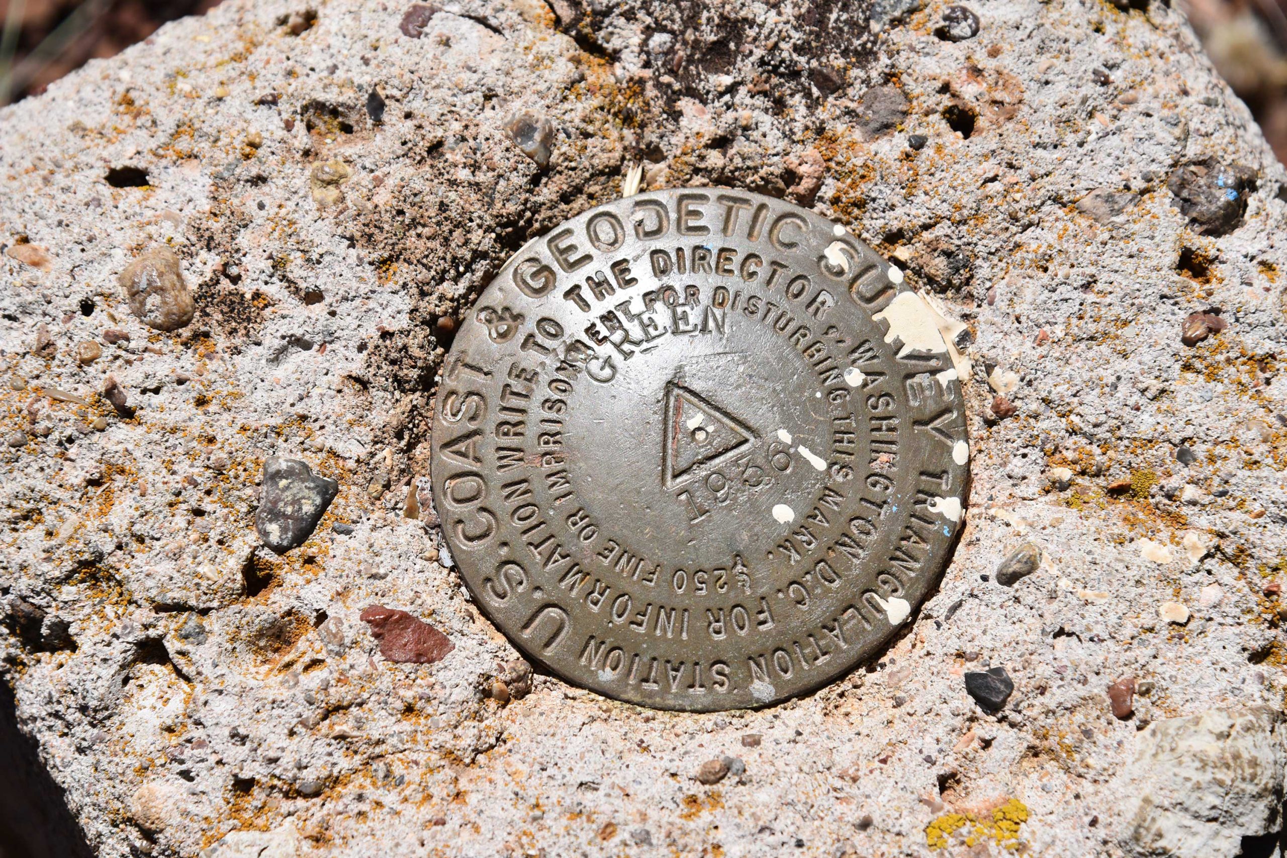
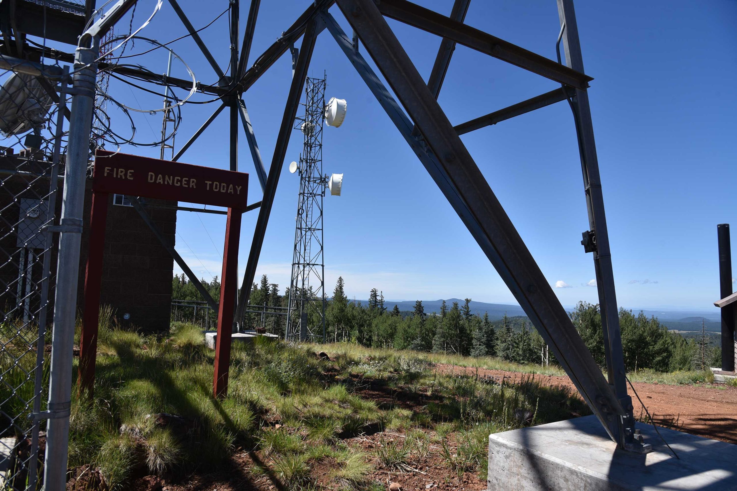
More popular with hang gliders than hikers, this volcanic peak northwest of Greer is a little gem of a trek. The peak is an extinct cinder cone volcano surrounded by myriad geological curiosities—like the mima mounds. One of the enduring mysteries of White Mountain geology, is the origin of the mounds. Rodents, imbedded root systems and creatures from outer space all have been credited with making these roundish, 2-to-9-foot-high lumps of gravel in the meadows surrounding 10,133-foot Greens Peak—the high point of the Springerville Volcanic Field. The prevailing theory is that these curious features are remnants of a glacial ice field that receded some 25,000 years ago leaving behind a landscape that smacks more of Iceland than Arizona. A red cinder road etched into the slopes that’s used to access the fire tower and communication equipment on the top also serves as the trail.
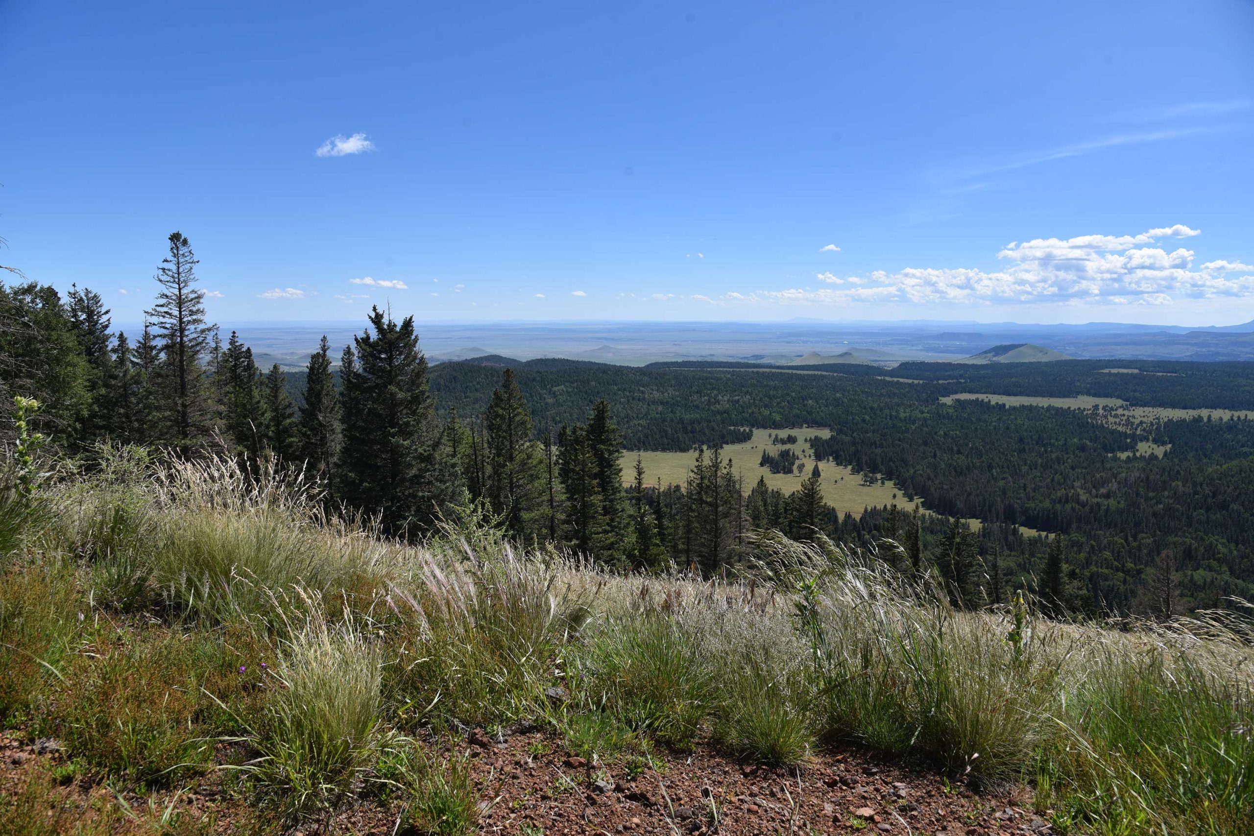
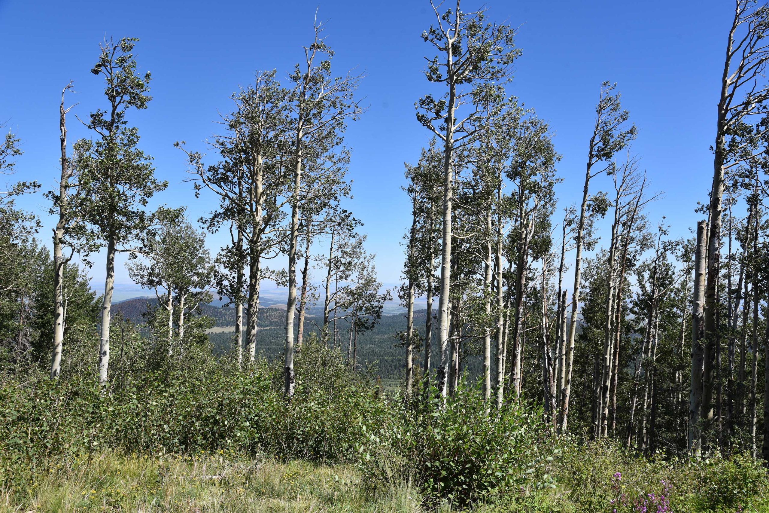
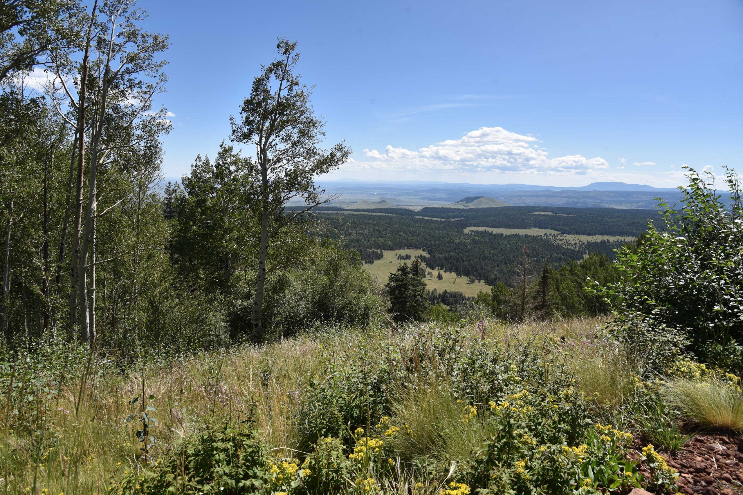
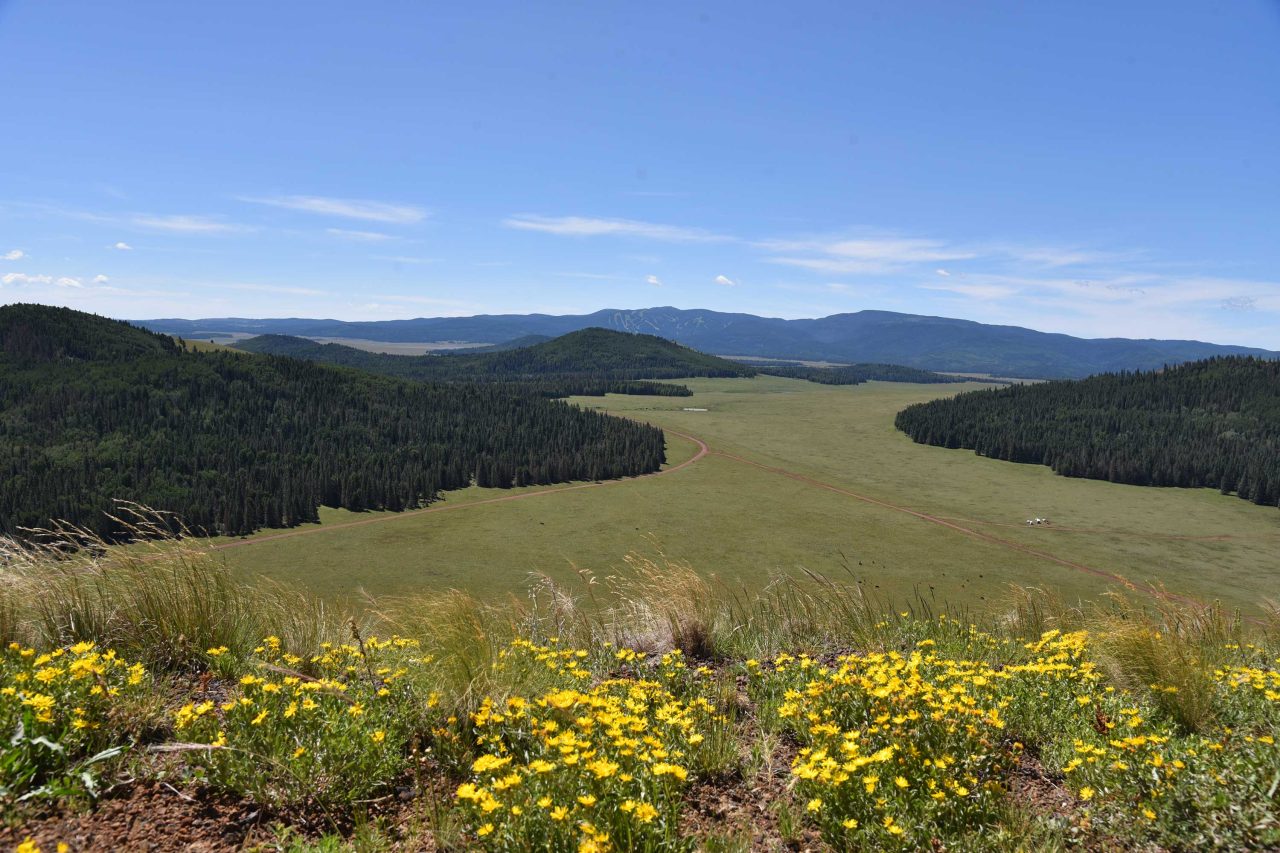
Once at the apex, stroll around to get extraordinary views of the cinder cone-dotted countryside and scope out future hiking destinations like Pole Knoll, Railroad Grade and Mount Baldy. Also visible are the scars of the 2011 Wallow Fire that mar the woodlands around Greer.
- LENGTH: 2 or 4 miles roundtrip
- RATING: moderate
- ELEVATION: 9,520- 10,133 feet
GETTING THERE:
From Pinetop, travel east on State Route 260 (Toward McNary). Continue to roughly 3 miles past State Route 273 to Forest Road 117 near milepost 380 on the left (about a mile past the Railroad Grade trailhead). Follow FR117 north for 3 miles to a “Y” junction at Forest Road 61 where a signs states “Greens Peak 2 miles”. You can park here for a 4-mile roundtrip hike or veer left and drive another mile to the next “Y” intersection at FR61/61C for a 2-mile hike. Roads are maintained cinder and passable by sedan.
- FACILITIES: none
- HOURS: n/a
- FEE: none