Within a 70-mile radius of Phoenix, eight peaks – each with a unique appeal – form a circle of mountains with wild routes to their summits.

Quartz Peak
Sierra Estrella Wilderness
The Quartz Peak Trail is the only official route within the 14,400-acre, Bureau of Land Management-owned Sierra Estrella Wilderness located 25 miles southwest of Phoenix. Given the remote, difficult-to-access terrain and the trail’s heady characteristics, one is plenty. Spiky and sketchy in places, the ridge hike takes stamina and a fair amount of rock-scrambling. The otherworldly pinnacle presides over hazy views of Metro Phoenix and a ring of surrounding desert plains. blm.gov
- Length: 6 miles round trip
- Rating: Difficult
- Elevation: 1,550-4,052 feet
Brown’s Peak
Four Peaks Wilderness
Hikers must hurdle a triad of challenges in order to summit Brown’s Peak, the highest point of the iconic Four Peaks mountain range on the Valley’s northeast horizon. Fortunately, the trio of tasks can be accomplished by anyone with a high-clearance vehicle, a sturdy pair of boots and a solid set of nerves. The edgy, precarious route should not be attempted by those who fear heights, lack strength or have balance issues. fs.usda.gov
- Length: 5 miles round trip
- Rating: Difficult
- Elevation: 5,700-7,657 feet
Flatiron
Superstition Wilderness
Hovering above Lost Dutchman State Park in Apache Junction like the bow of a ship, the prominent rock formation known as the Flatiron cuts an impressive figure on the local horizon and holds major appeal for intrepid hikers. Getting to the summit is a test of stamina and fortitude that begins in the park with a 1.1-mile walk on Siphon Draw Trail and ends with a hand-over-foot scramble up sheer rock chutes. fs.usda.gov
- Length: 4.8 miles round trip
- Rating: Difficult
- Elevation: 2,000-4,592 feet
Skull Mesa
Tonto National Forest
There is an intoxicating muddling of time and place on the trails leading to Skull Mesa. Hohokam symbols, chipped into rock 800 years ago, embellish sun-drenched niches, and along a wash, fresh javelina prints follow a trickle of water. Located just a few miles north of Cave Creek in the Seven Springs recreation area, the trails leading to Skull Mesa feel feral and remote despite their proximity to town. fs.usda.gov
- Length: 12 miles round trip
- Rating: Difficult
- Elevation: 2,410-4,426 feet
Picketpost Mountain
Tonto National Forest
Since Picketpost Mountain is notoriously overgrown, unmarked and insanely steep, getting to the top is a make-it-up-as-you-go prospect. Located outside the Town of Superior, this adventure starts with a hike south on the Alamo Canyon Passage 17 of the Arizona National Scenic Trail. About a mile in, a cairn marks the turnoff for the summit climb. Beware: It’s a bear. Finding secure hand- and footholds to scale the stony,
cacti-encrusted chutes is confusing and exhausting. fs.usda.gov
- Length: 6 miles round trip
- Rating: Difficult
- Elevation: 2,370-4,378 feet
Table Top Mountain
Table Top Wilderness
As the “outy-est” of the Outer Eight, this one warrants a high degree of preparedness. Located within a 34,000-acre federally managed plot of Sonoran Desert in Pinal County, Table Top Mountain is a haven for desert bighorn sheep, lizards and hikers with the skills and equipment to withstand harsh conditions, possible drug smuggler traffic, terrible access roads and spotty-to-no cell phone service. blm.gov
- Length: 8 miles round trip
- Rating: Difficult
- Elevation: 2,299-4,373 feet
Vulture Peak
Vulture Mountains, Wickenburg
With its distinctive, knoll-and-feathers profile, Vulture Peak does sort of resemble a winged scavenger. Located 7 miles south of Wickenburg, the ragged peak in Bureau of Land Management territory offers easy access, a scenic hike and an optional vertical summit ascent. maricopacountyparks.net
- Length: 4 miles round trip
- Rating: Moderate
- Elevation: 2,480-3,420 feet
Picacho Peak
Picacho Peak State Park
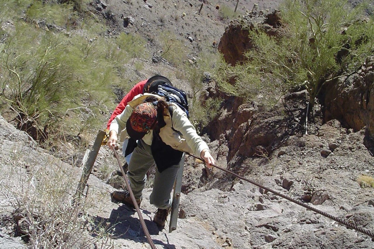
Even though its name translates to “Peak Peak,” bagging the summit of Picacho Peak only counts for one. Famously marking the halfway point between Phoenix and Tucson on I-10, the solitary knob anchors the eponymous state park that’s equally famous as the site of the westernmost battle of the Civil War. At the summit, expansive views make the I-10 look like a desolate pale ribbon leading to nowhere. azstateparks.com/picacho
- Length: 3.2 miles round trip
- Rating: Difficult
- Elevation: 2,022-3,374 feet
Directions and Tips!
For detailed information about the 8 Outer Summits, plus other nearby Valley hikes, Buy PHOENIX magazine’s Hike Book: City Summits at phoenixmag.com/shop